Wetland contamination can be predicted in oil boom states, study finds

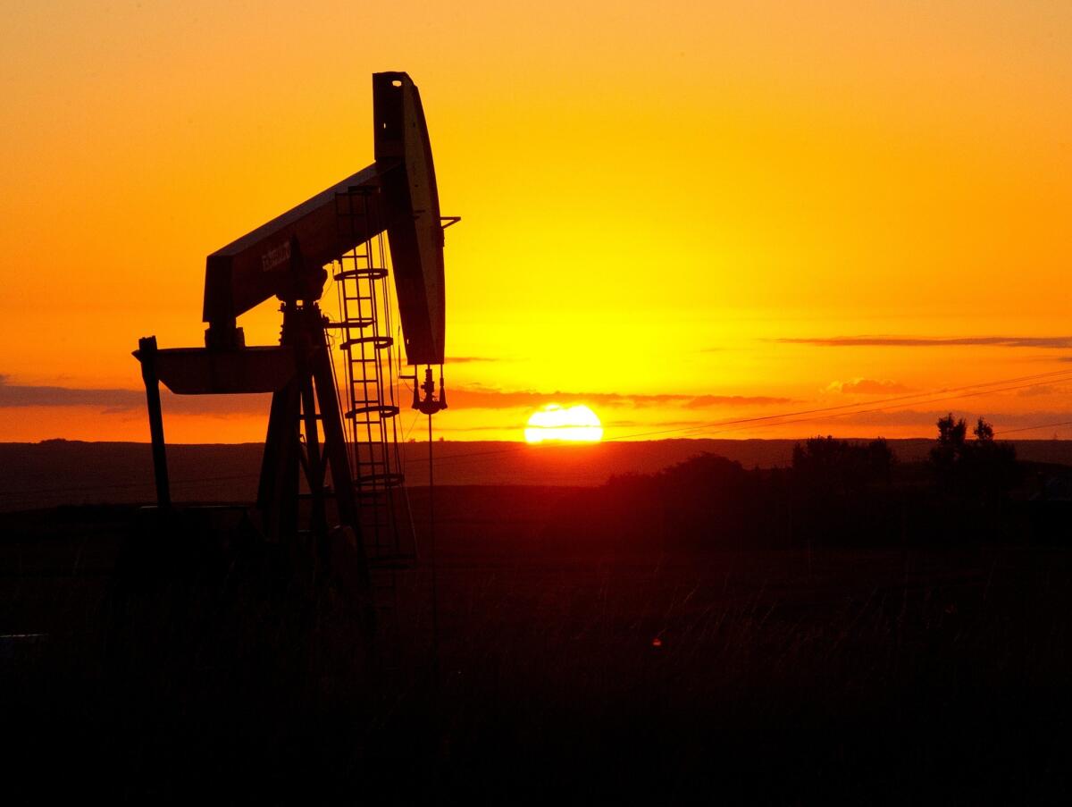
WASHINGTON – Federal scientists have developed a system that could help prevent some contamination of wetlands and groundwater from oil development in the booming Williston Basin in Montana and North Dakota, according to a new study.
Along with oil extracted from deep underground in the Williston Basin comes naturally occurring water called brine that is 10 times more saline than seawater and is dumped into reserve pits. Brine can contaminate local water sources through leaching from the pits, pipeline spills or accidents.
At many area oil wells, 10 barrels of brine are produced for every barrel of oil, making brine disposal a significant issue as Williston Basin oil extraction flourishes.
U.S. Geological Survey scientists, in a study focused on Montana’s Sheridan County on the border with North Dakota, have developed criteria that can identify areas at the highest risk for brine contamination.
In a study published in the journal Science of the Total Environment, they found that water samples from areas deemed at high risk of contamination had substantial brine concentrations. Similarly, the authors found areas at low risk of contamination yielded samples with lower or no brine concentrations.
PHOTOS: The year in national news
“In areas where we had a high vulnerability assessment, the criteria ended up predicting very well, and where we had a low assessment, we did very well,” said Todd M. Preston, the study’s lead author.
The analysis could help landowners, regulators and oil industry officials in the Williston oil boom “quickly and easily identify areas with the greatest potential contamination” from brine, the study said.
Nationwide, disposal of the billions of gallons of wastewater generated daily from oil and gas drilling has vexed the industry, environmentalists and communities. North Dakotans overwhelmingly welcome the oil rush that has made their state the country’s second-biggest oil producing state after Texas. But as wells and waste storage pits proliferate, concern has grown about their effect on water. Last week, North Dakota officials were forced to halt a waste pit after the town of Ross, about an hour’s drive east of Williston, protested its proximity to their drinking water source.
Previous studies by the USGS and others have found evidence of brine contamination in wetlands and groundwater sources, including drinking water aquifers. The new study, published online on Dec. 27, found that government officials work with oil companies to locate oil wells away from wetlands on public land. But most of the Williston Basin oil drilling is on private land and the study concluded oil wells “are often placed very close to wetlands to preserve farmable acreage,” increasing the risk of brine contamination.
The study is the latest from a unit of the U.S. Geological Survey established in 2008 to monitor the environmental effects of energy development in the Prairie Pothole region, a vast swath of intermittent wetlands from Alberta, Canada, to northern Iowa. The region, which overlaps with the Williston Basin, is vital habitat to migratory North American waterfowl.
Until the late 1970s, oil companies dumped brine into unlined pits, which have a history of causing contamination. Pits in the Williston Basin must be lined and then buried once reclamation begins. But no monitoring of possible leaching or contamination from the pits is required.
“There are still uncontained releases of brine in the form of spills, pipeline breaks and vehicle accidents, which often occur closer to oil wells,” Preston said.
Moreover, the open-air storage of brine still holds hazards, said independent scientists who read the USGS study. While lined pits are an improvement over unlined ones, liners also tear sometimes, as the experience with landfills has shown, said Geoffrey Thyne, principal scientist at Science Based Solutions, an environmental consulting firm in Wyoming.
PHOTOS: 2013 natural disasters
“It’s very difficult to maintain the perfect integrity of a liner,” he said. “It’s better than not being lined, but it’s not perfect, and we will continue to see issues with contamination.”
The study included 780 public land survey sections in eastern Sheridan County, each of which was assigned a value of brine contamination risk based on five variables: the percent of land that is wetlands; the percent of land that is glacial outwash, a highly permeable geology; the total length of streams; the age of the oldest well; and the number of wells.
The biggest factors for the risk of brine contamination were the number of wells in an area and the age of the oldest well, Preston said.
The scientists then sampled water from 10 sites that were representative of the range of vulnerability scores they had assigned to the Sheridan County sections. At each site, the scientists took four samples, two of groundwater, from sources such as wells, and two of surface water, such as wetlands. They compared the ratio of chloride concentration in the samples to a contamination index developed by the Montana Bureau of Mines and Geology.
The areas at greatest risk of contamination scored exceedingly high on the contamination index, with some wells registering scores “an order of magnitude higher than uncontaminated samples,” Preston said.
Robert B. Jackson, professor of environmental sciences at Duke University, noted that the study’s groundwater samples showed the strongest contamination. “That’s much harder to fix, and it shows the effects of decades of buildup of salts,” Jackson said.
Most of the reserve pits the USGS scientists studied were dug during oil booms in the 1960s and the 1980s. Neither was as big as the current boom.
“It means we are making a lot more oil, and that means a lot more water,” Thyne said. “Now that we are going through another boom, the question is, what did we learn from the past ones?”
ALSO:
Supreme Court puts gay marriages in Utah on hold
One pilot dead, 2 injured after small jet crashes on Aspen runway
Major steps coming for World Trade Center in New York this year
Twitter: @neelaeast
More to Read
Start your day right
Sign up for Essential California for news, features and recommendations from the L.A. Times and beyond in your inbox six days a week.
You may occasionally receive promotional content from the Los Angeles Times.


