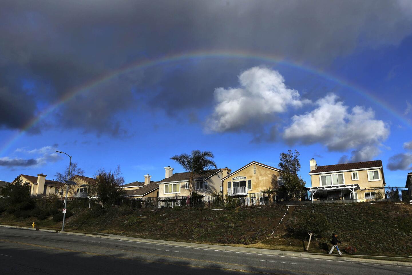
A steady conveyor belt of El Niño storms is what has officials concerned

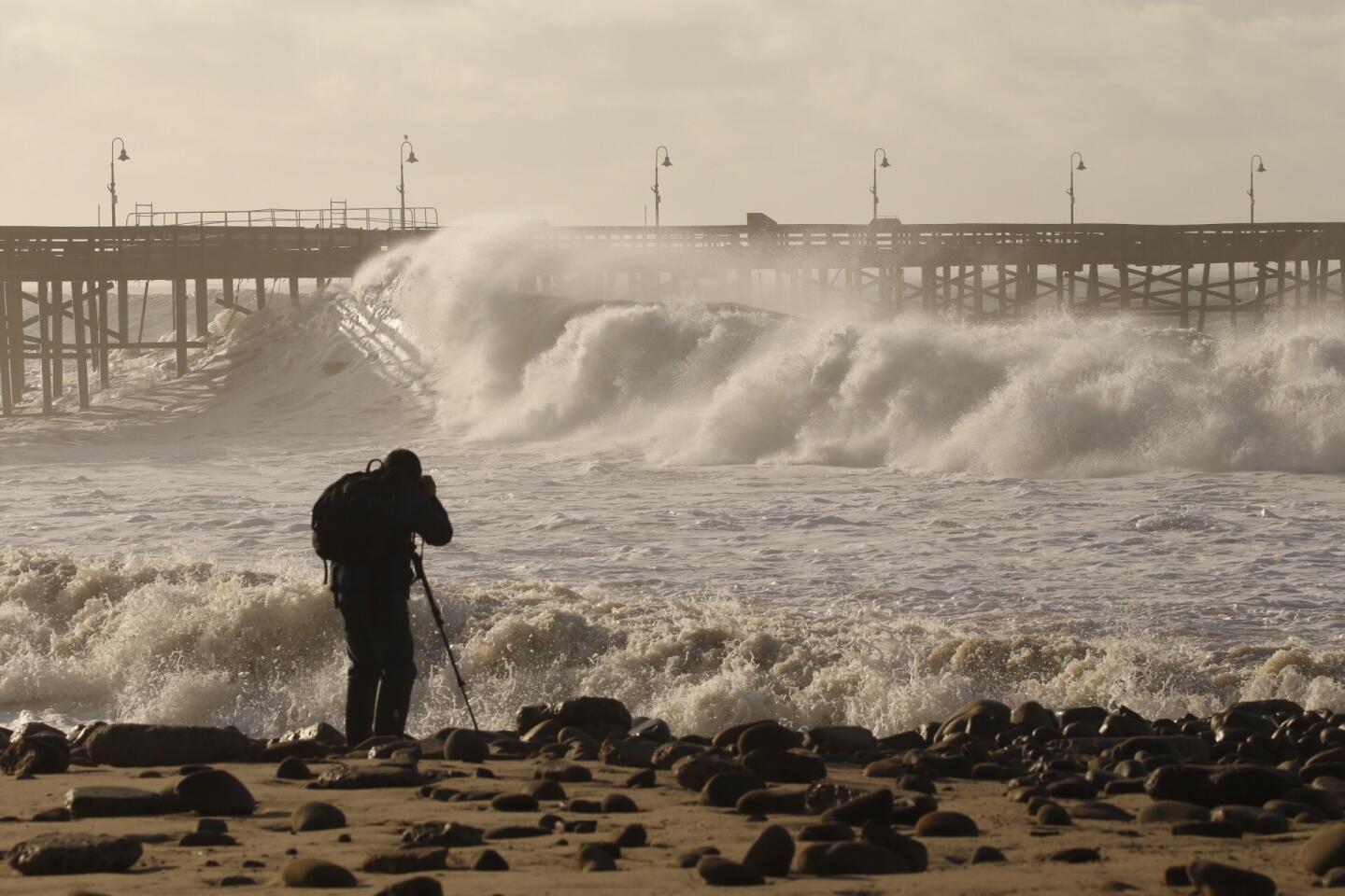


To understand the power and potential dangers of El Niño, look at satellite images of the Pacific Ocean on Sunday.
At least four storms were brewing — the farthest still getting going in Asia — and all aimed at California.
It’s this pattern, a series of back-to-back-to-back storms seemingly arriving on a conveyor belt, that concerns officials bracing for potential damage from the predicted winter of heavy rains.
Water and Power is The Times’ guide to the drought. Sign up to get the free newsletter >>
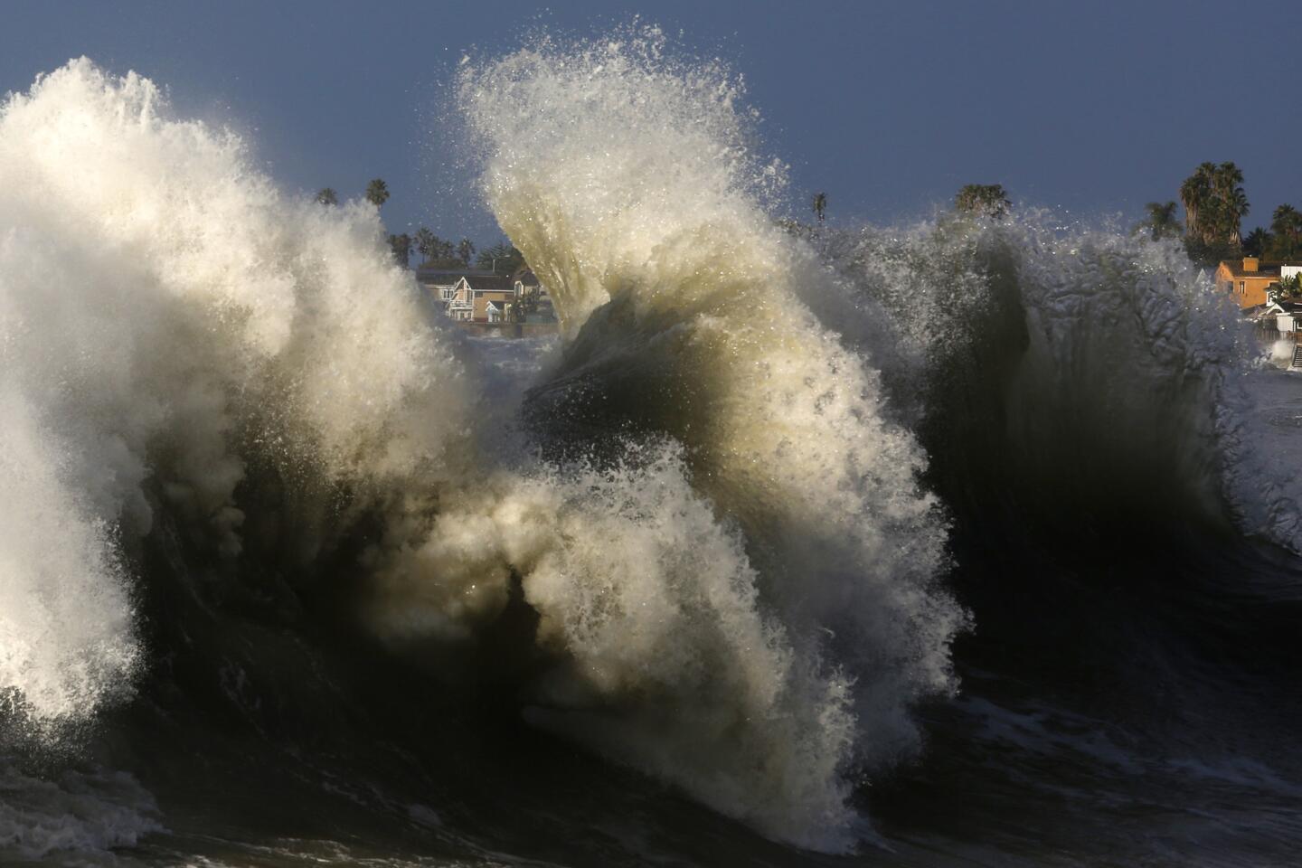
“El Niño storms: it’s steady, not spectacular. But it’s relentless,” said Bill Patzert, climatologist at NASA’s Jet Propulsion Laboratory in La Cañada Flintridge. “It’s not 10 inches in 24 hours and nothing afterward. It’s a 1-inch storm, a 2-inch storm, followed by a 1-inch storm, followed by a 2-inch storm.
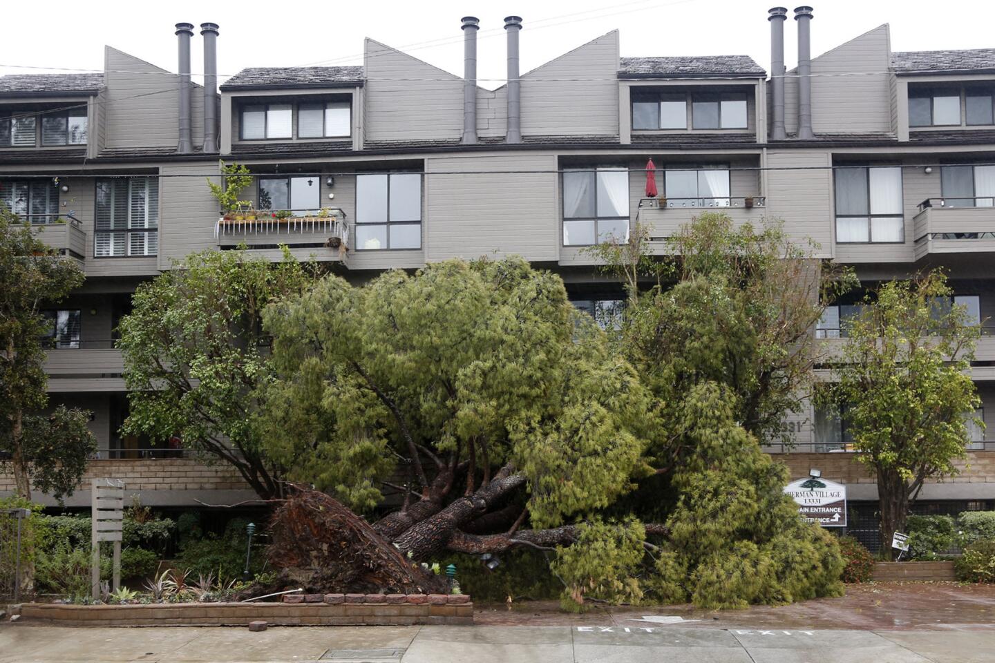
“As this goes on for many weeks, then you start to soak the hillsides — then you get more instability. And then, instead of having 6 inches of mud running down your street or off the hillside behind your house, then you can get serious mudflows — 2 to 3 feet in height.”

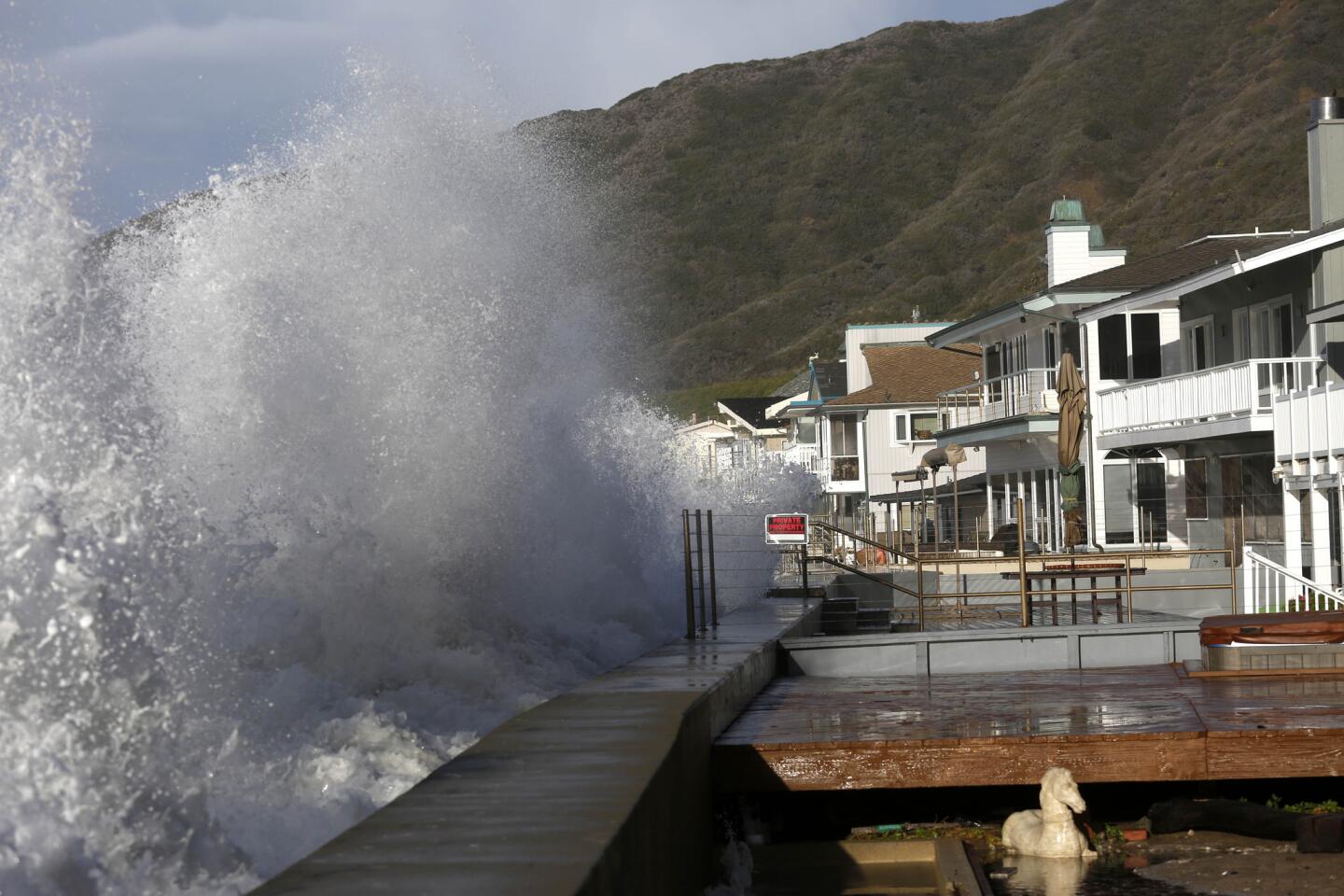
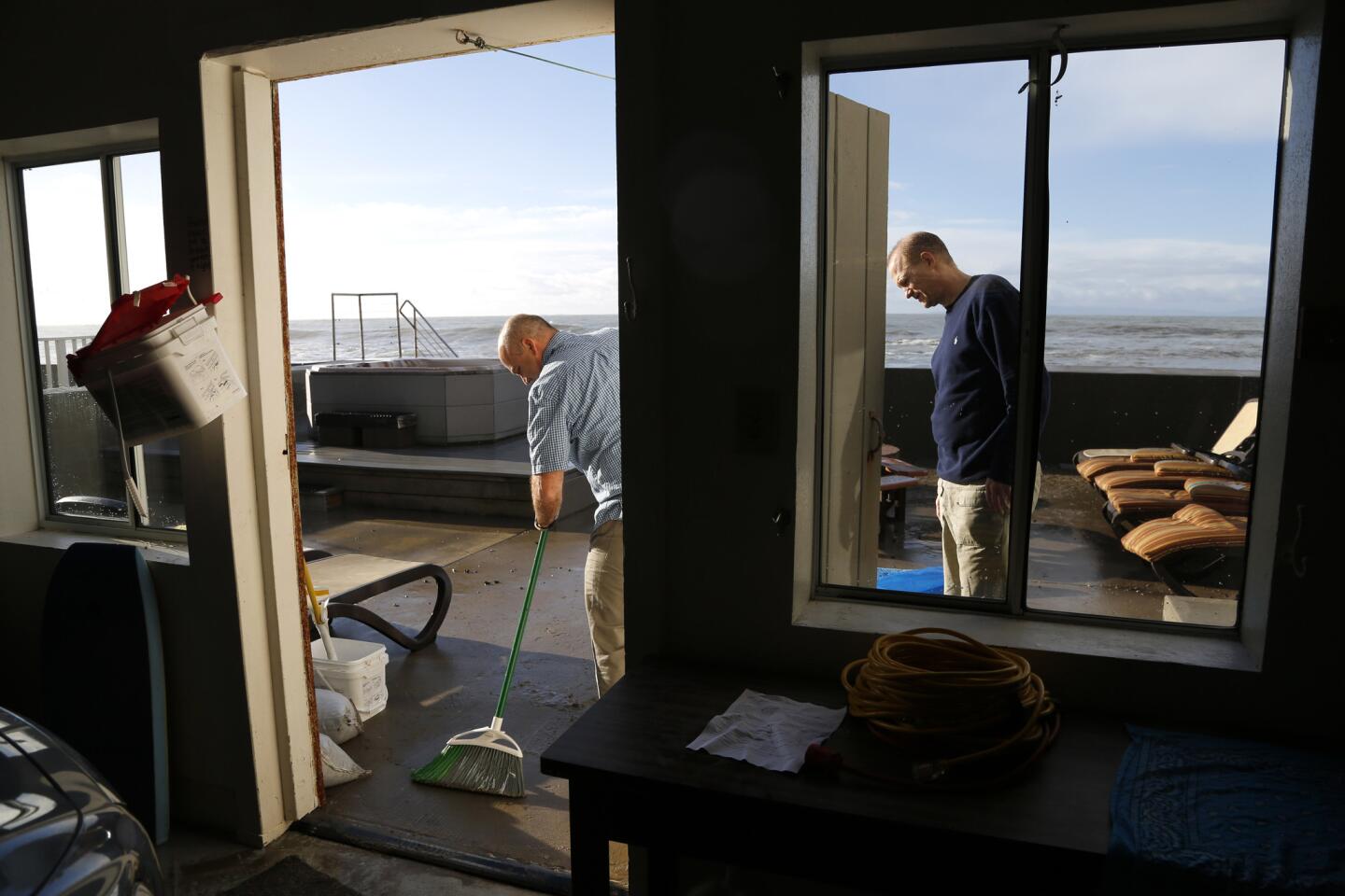
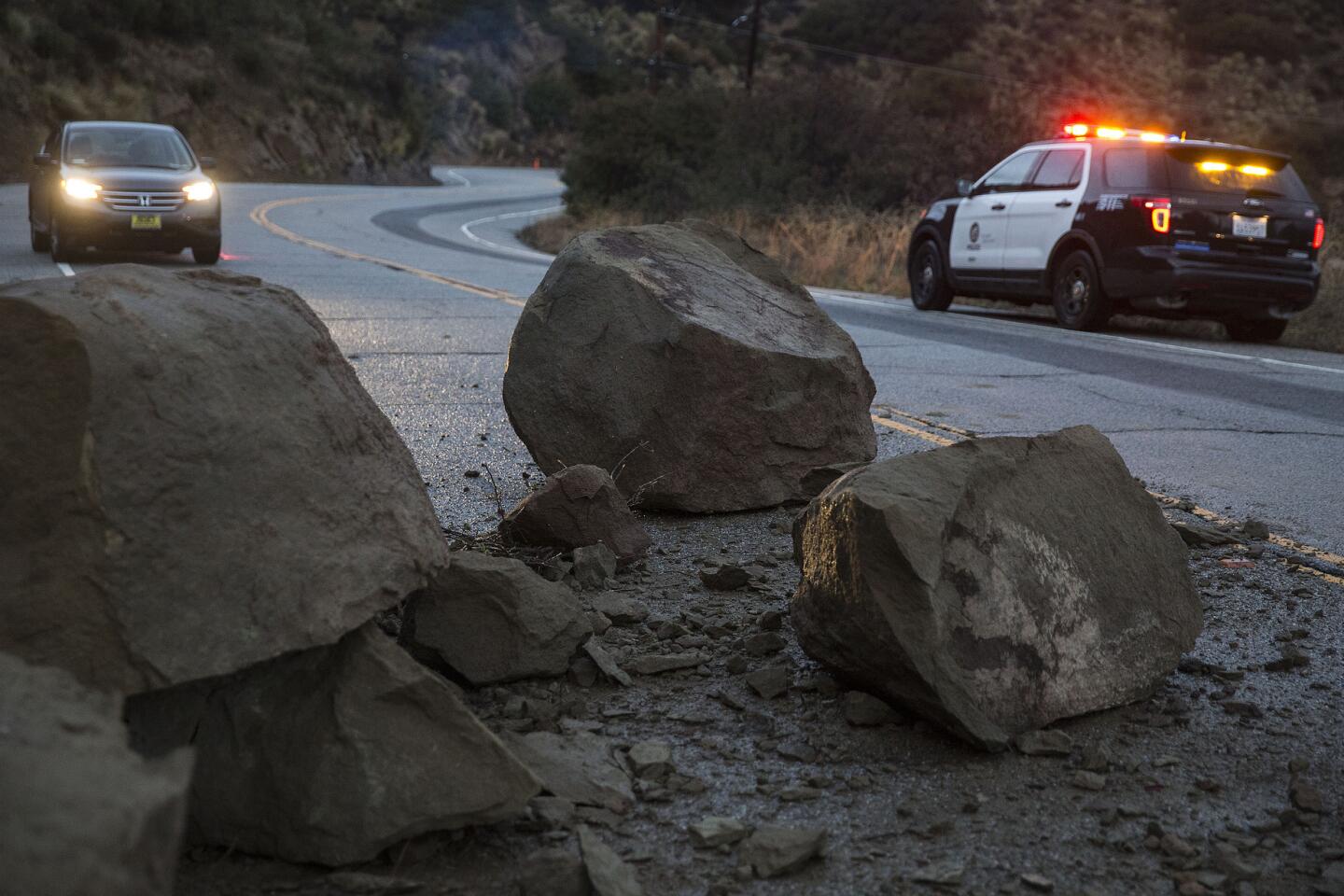
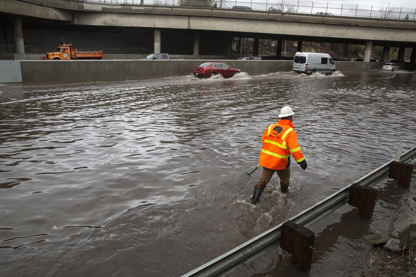
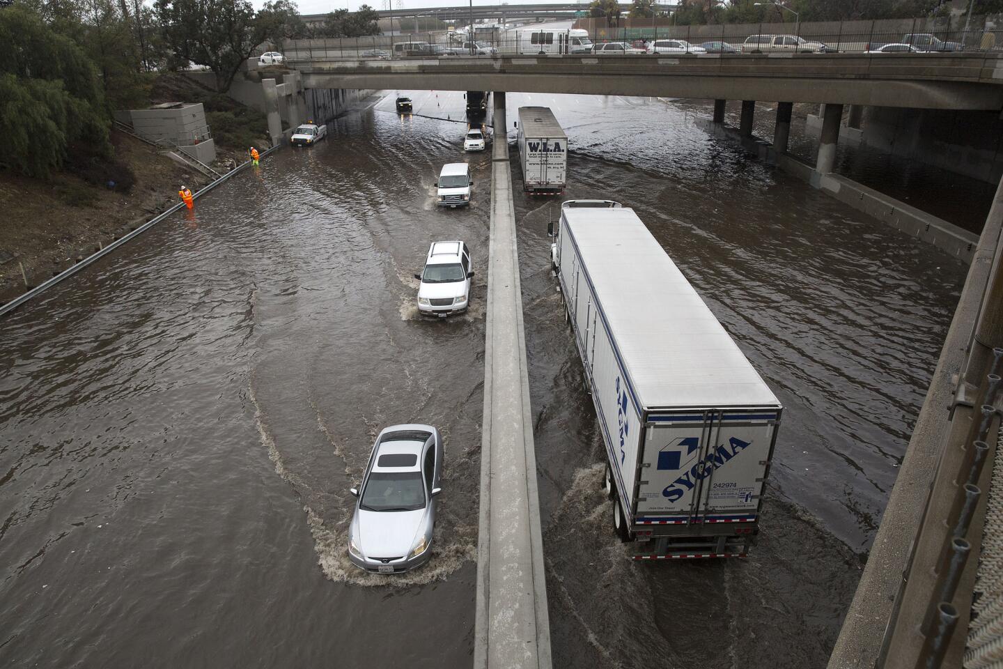
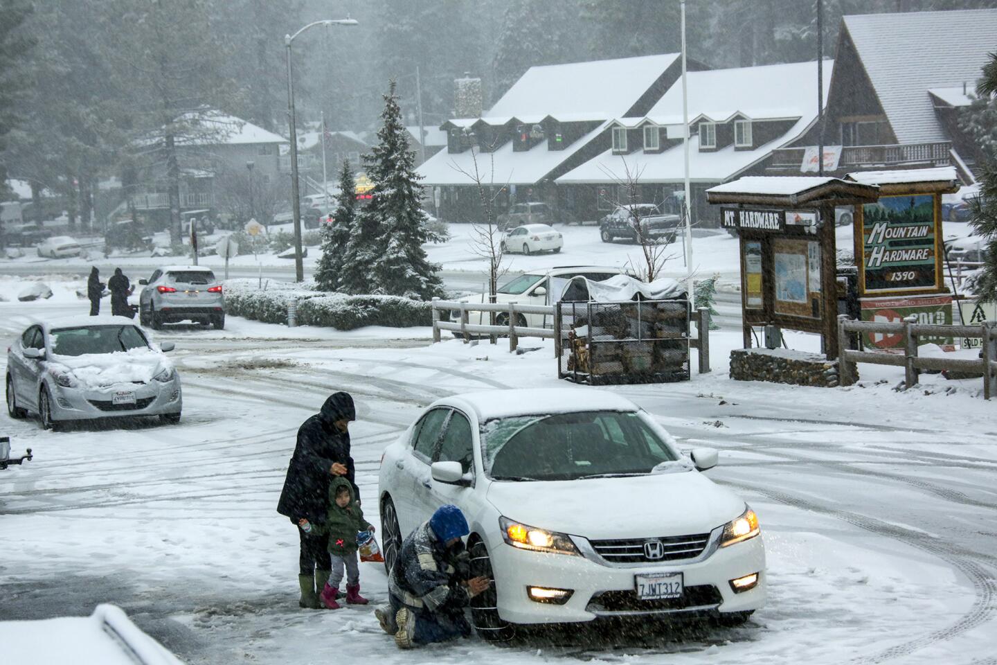
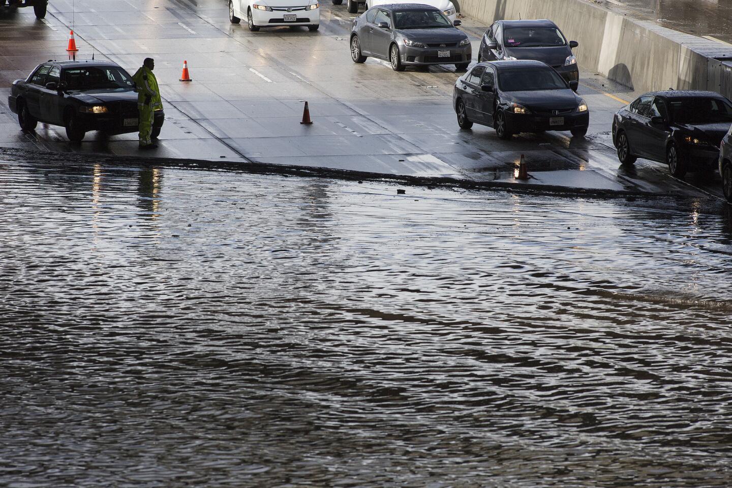
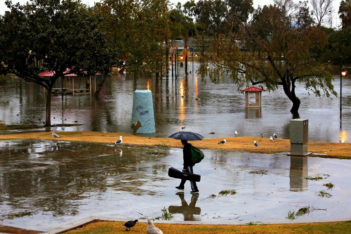
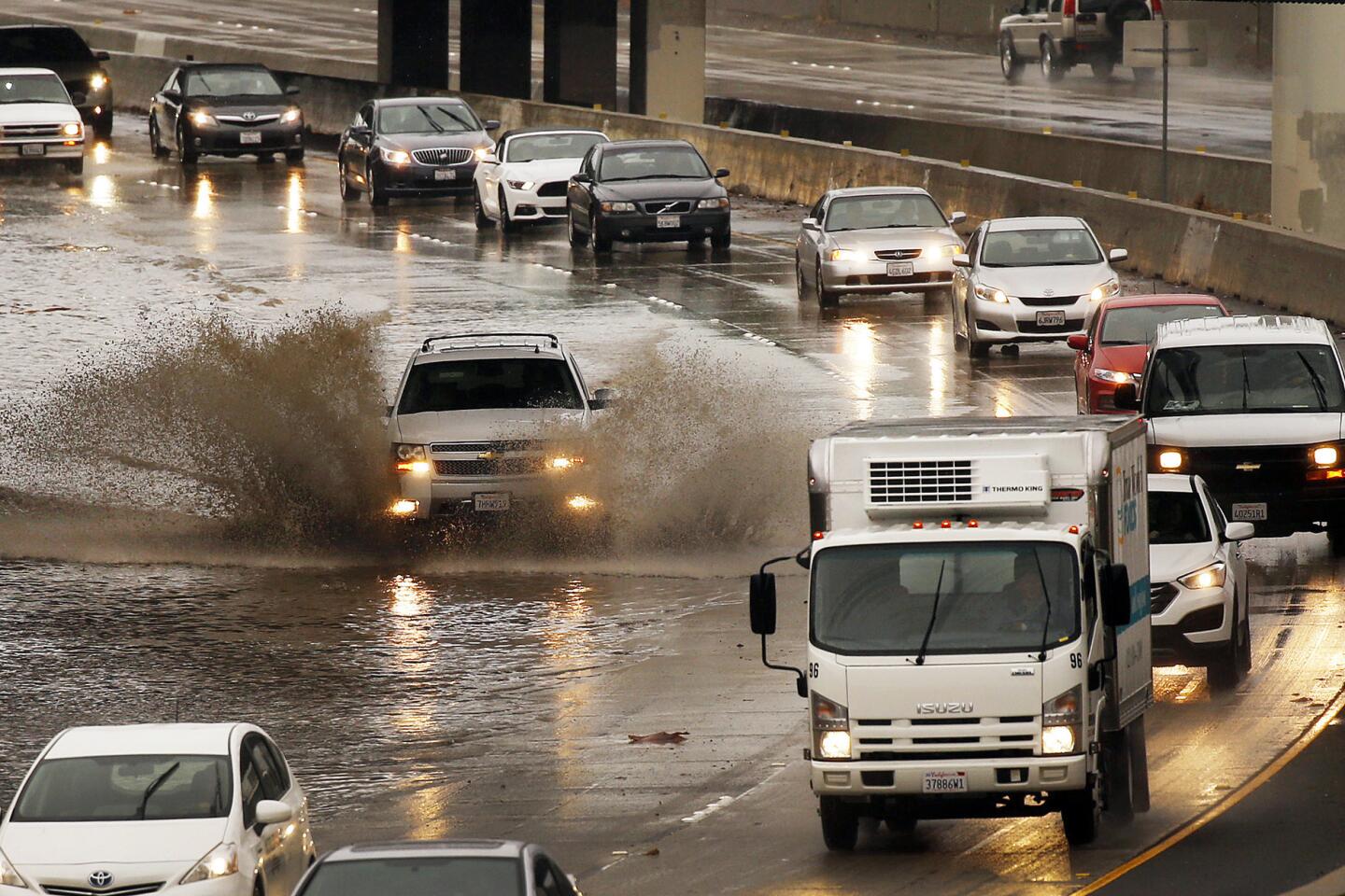
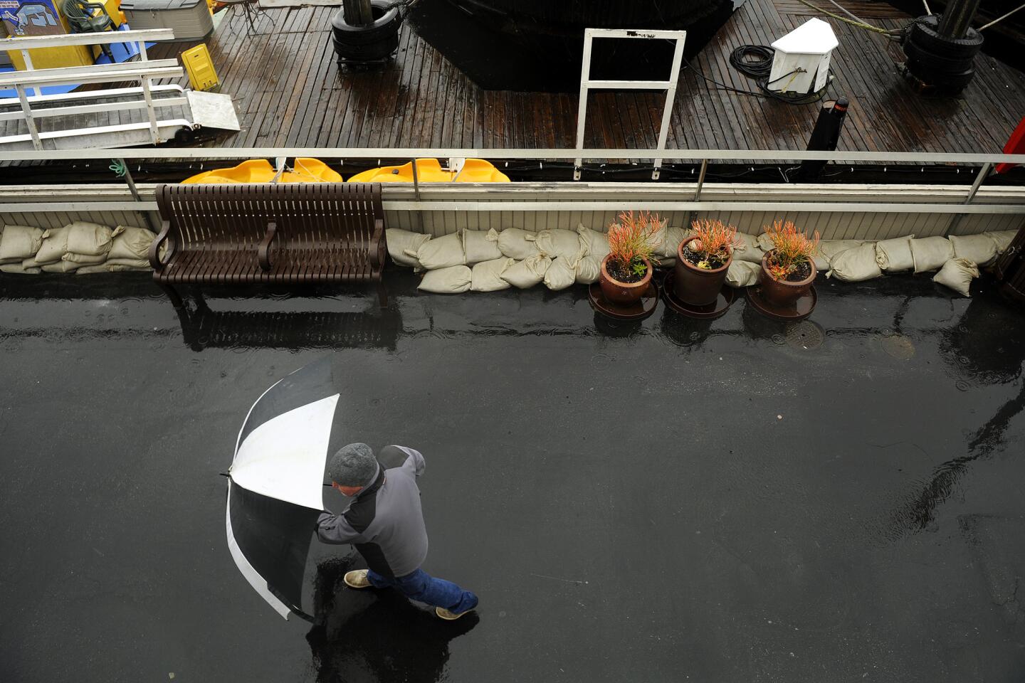
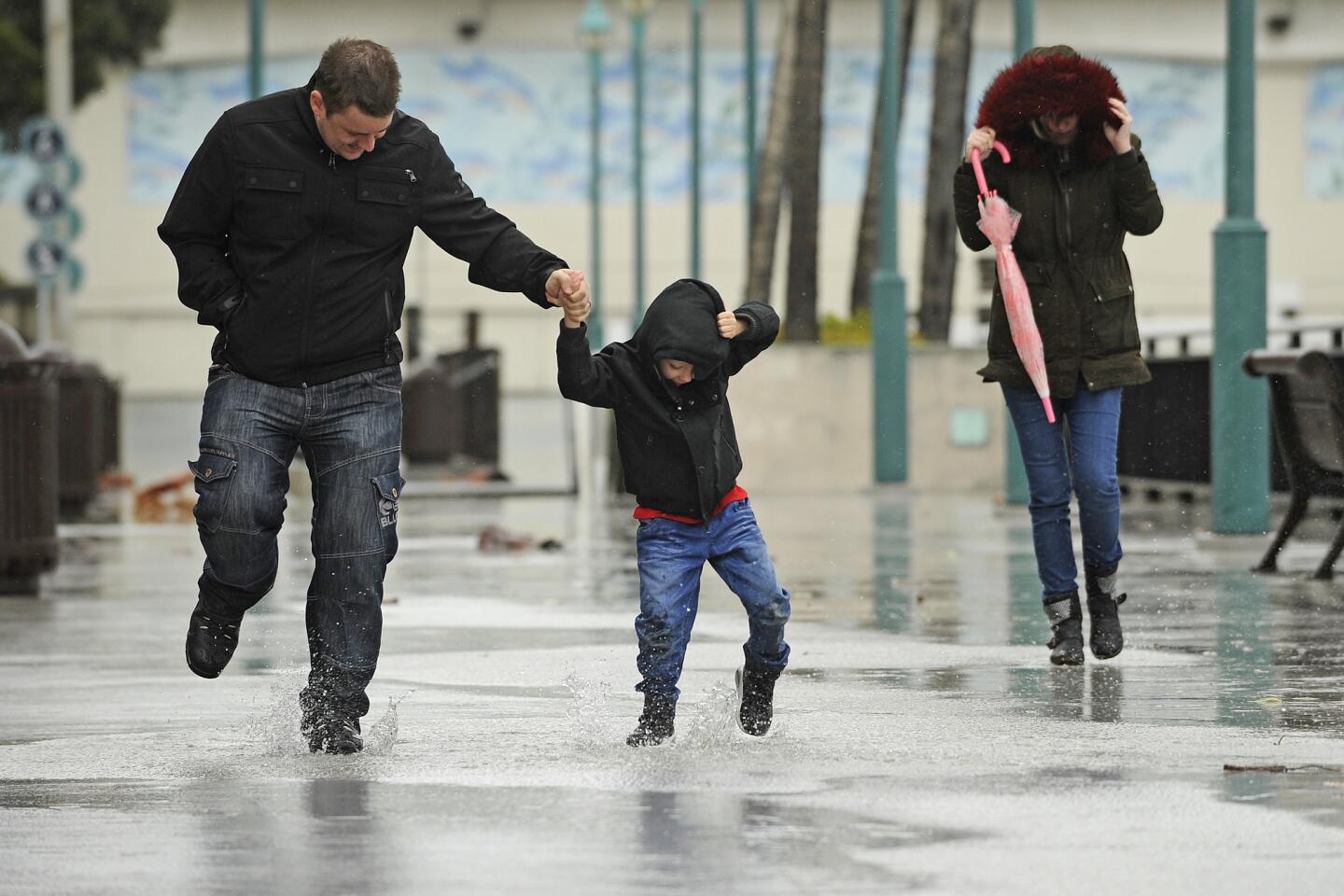
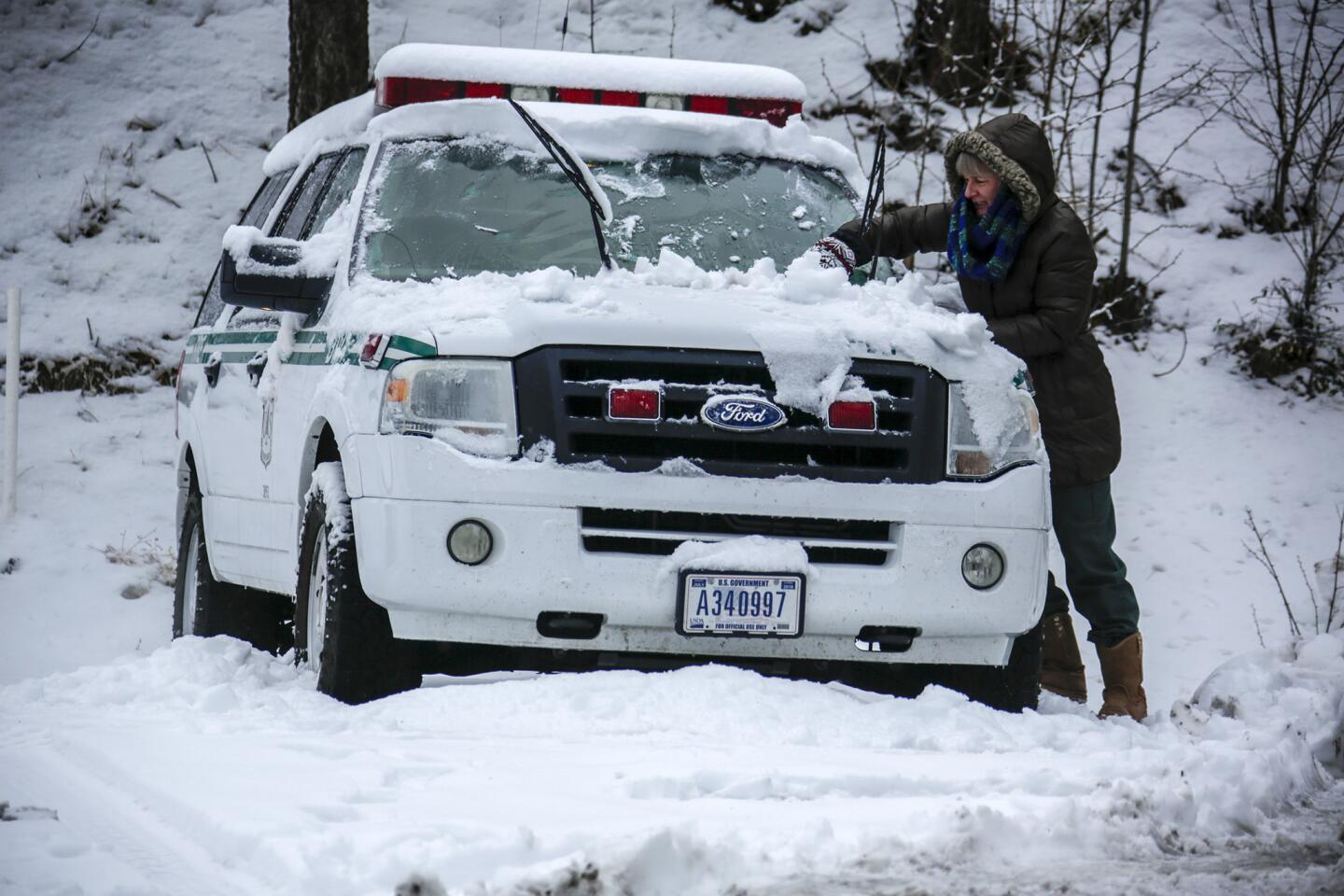
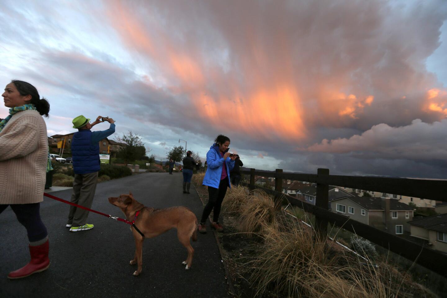
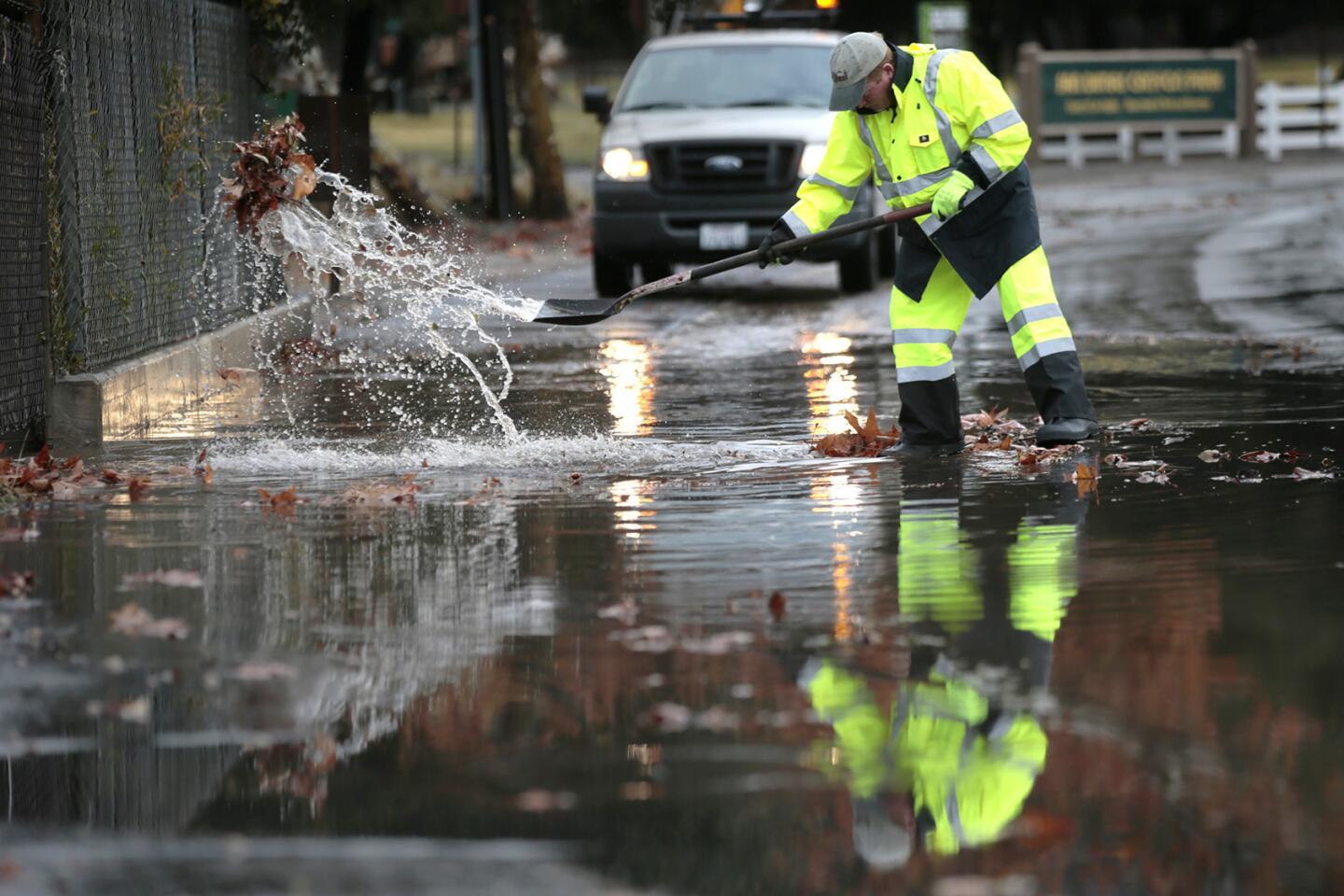
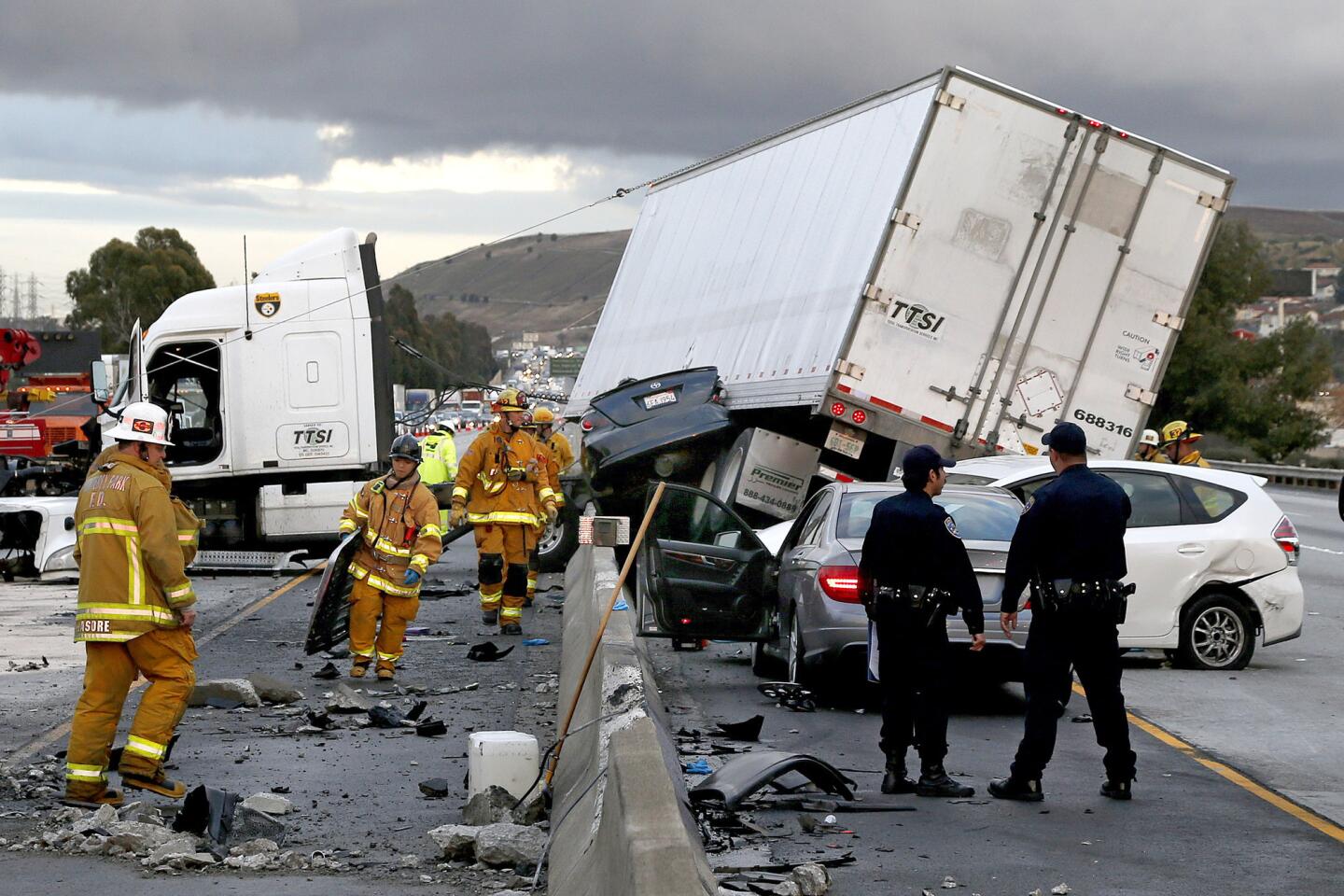
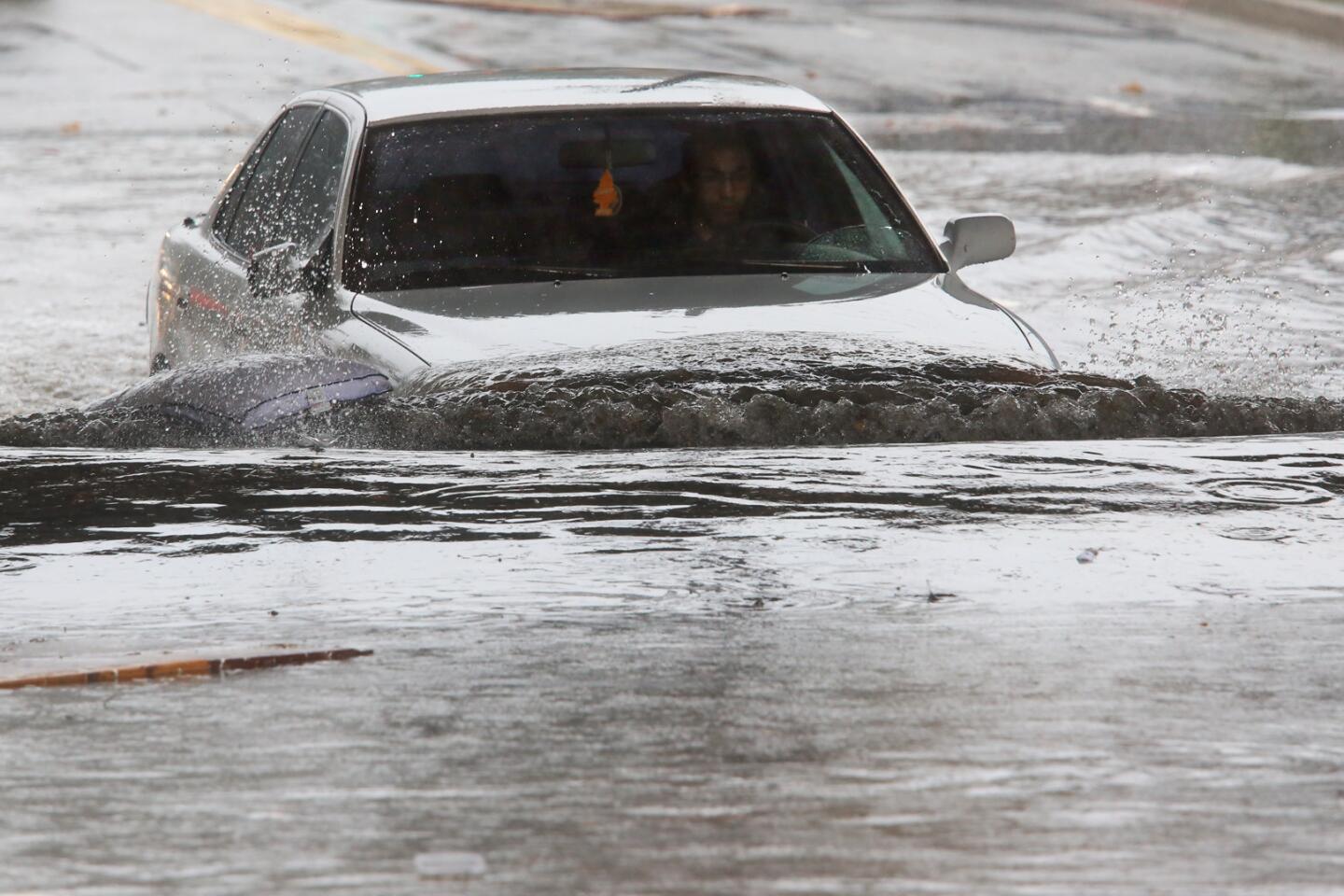
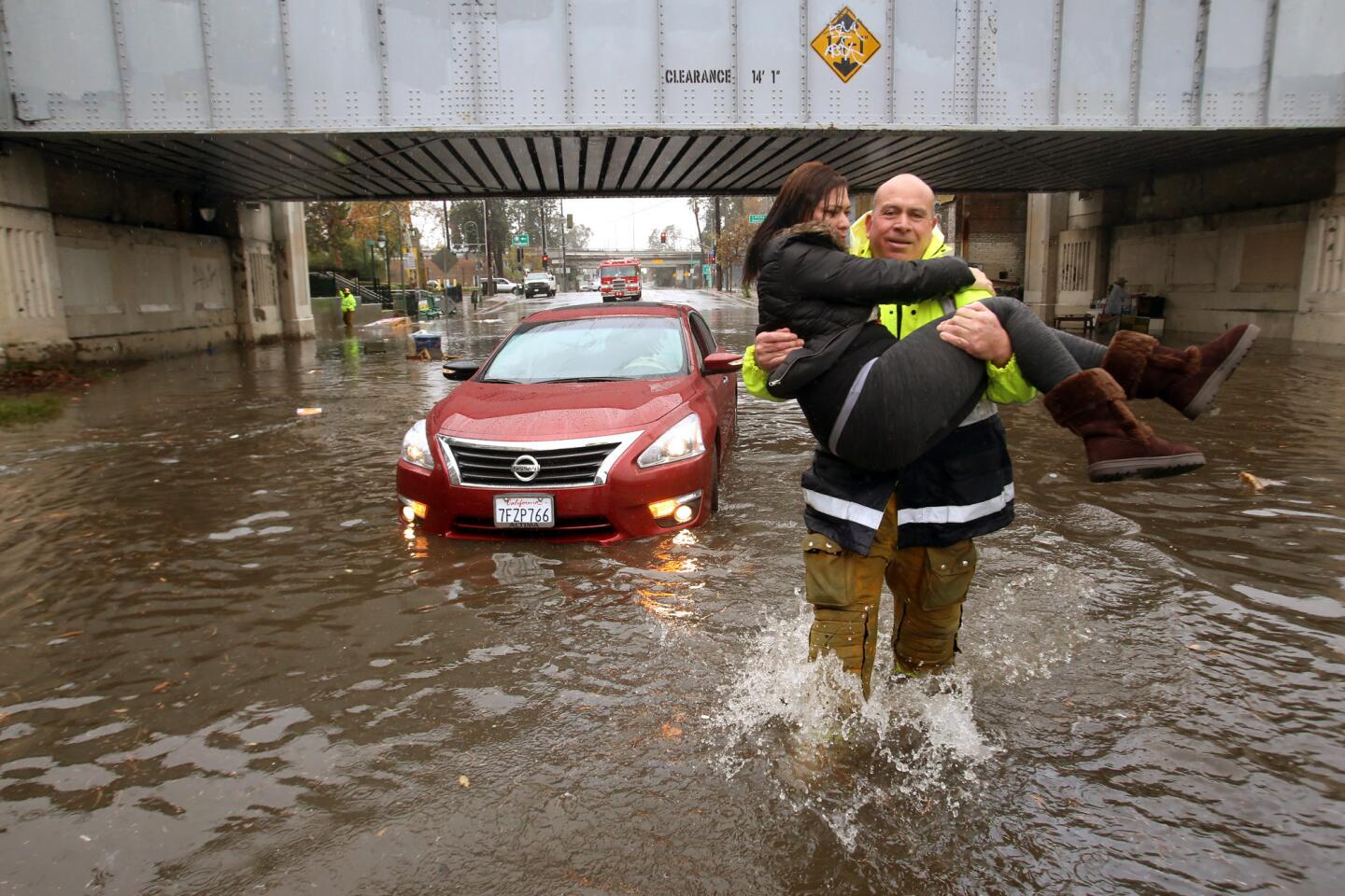
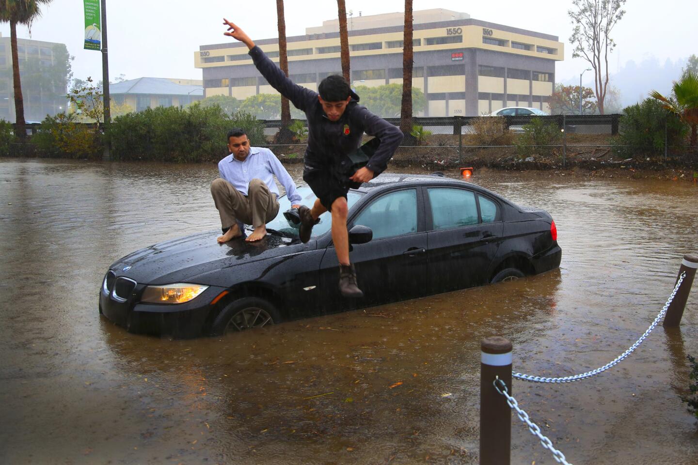
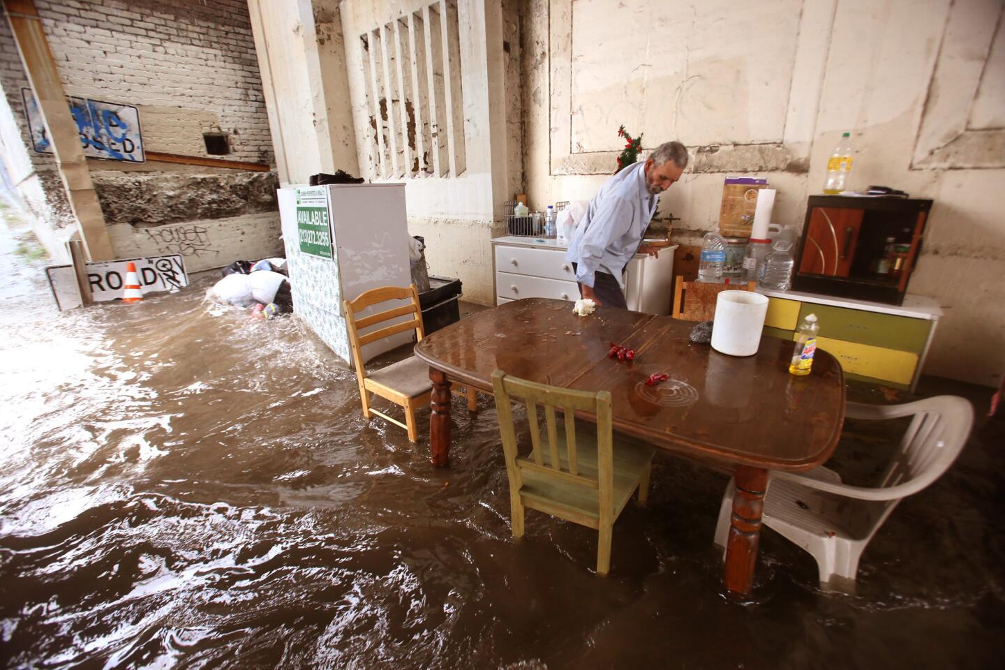
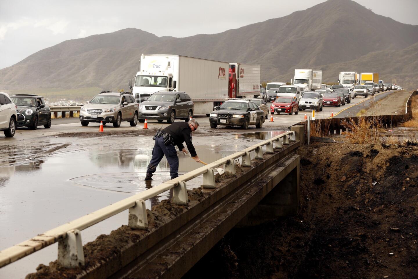
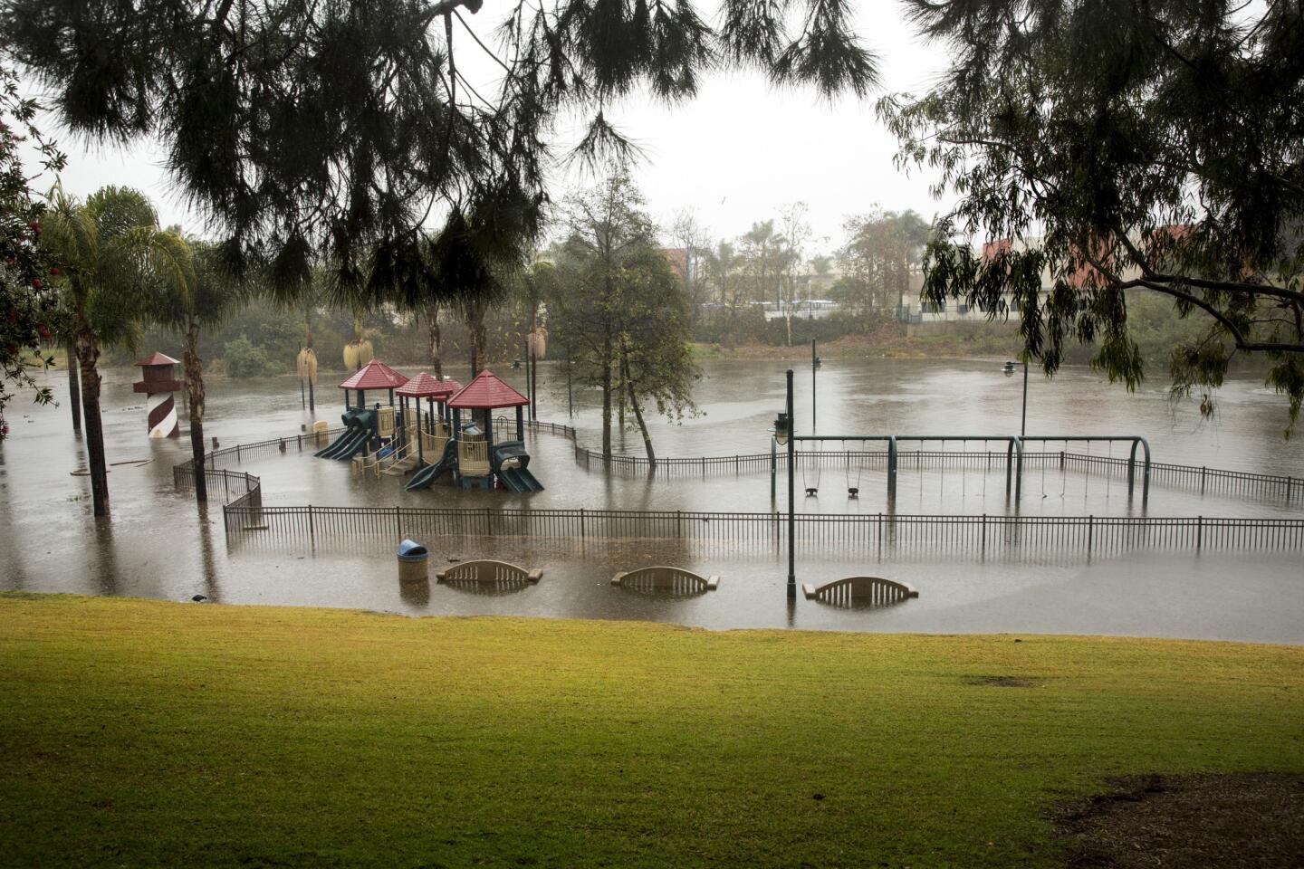
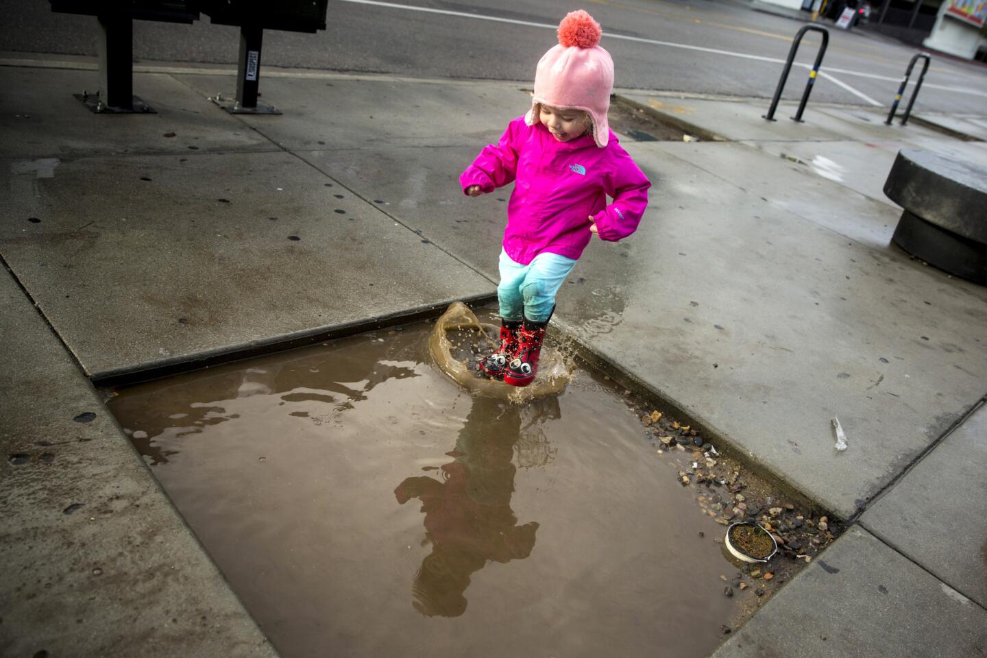
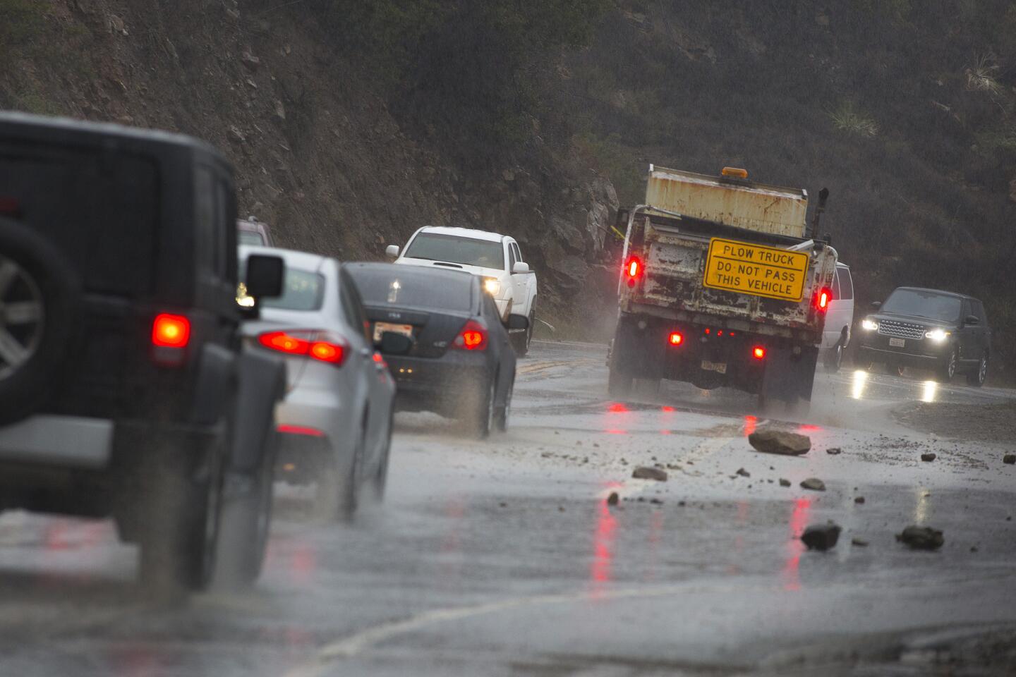
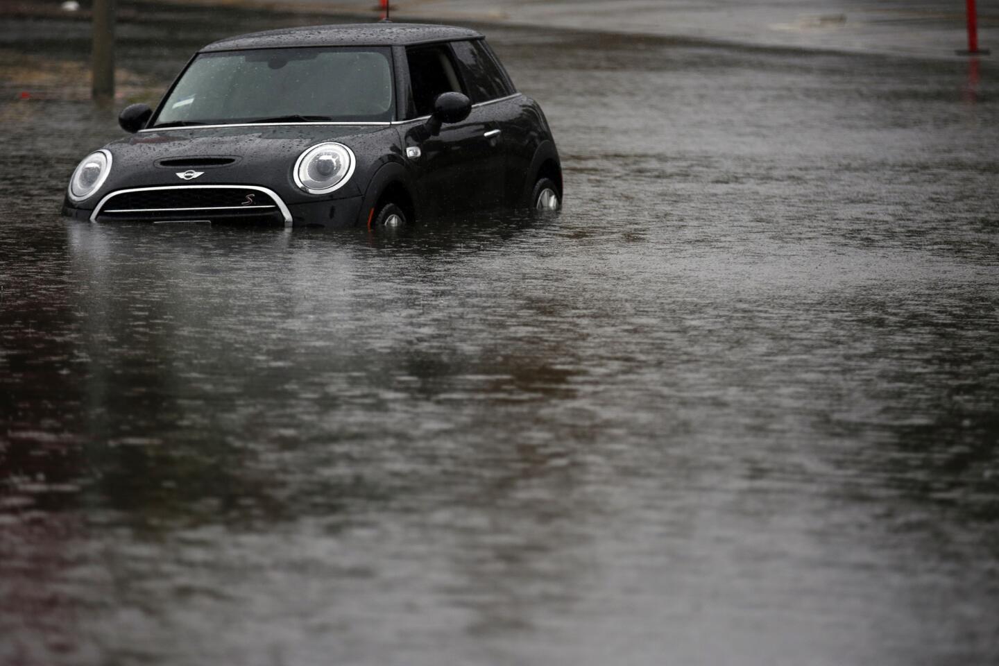
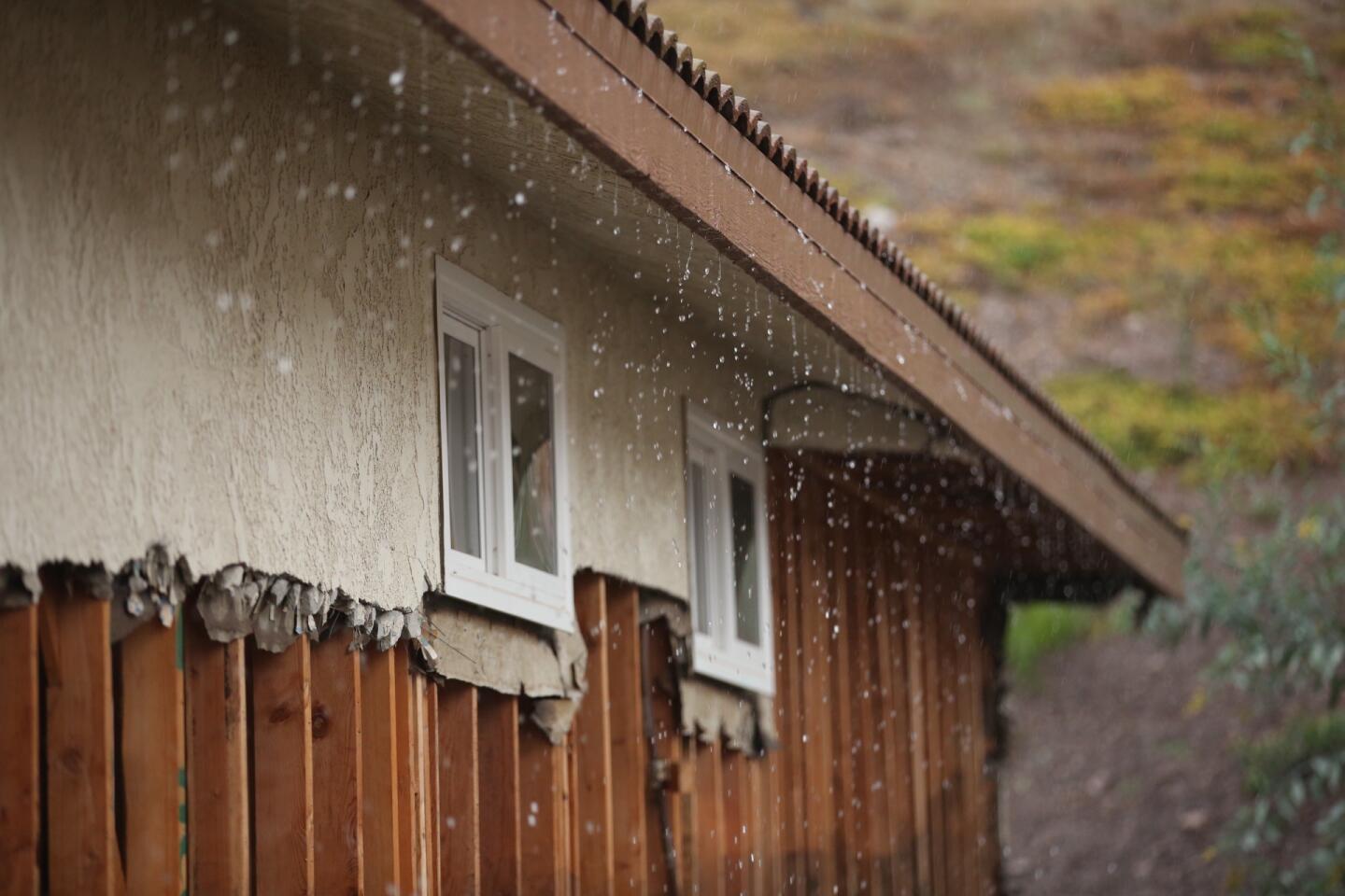
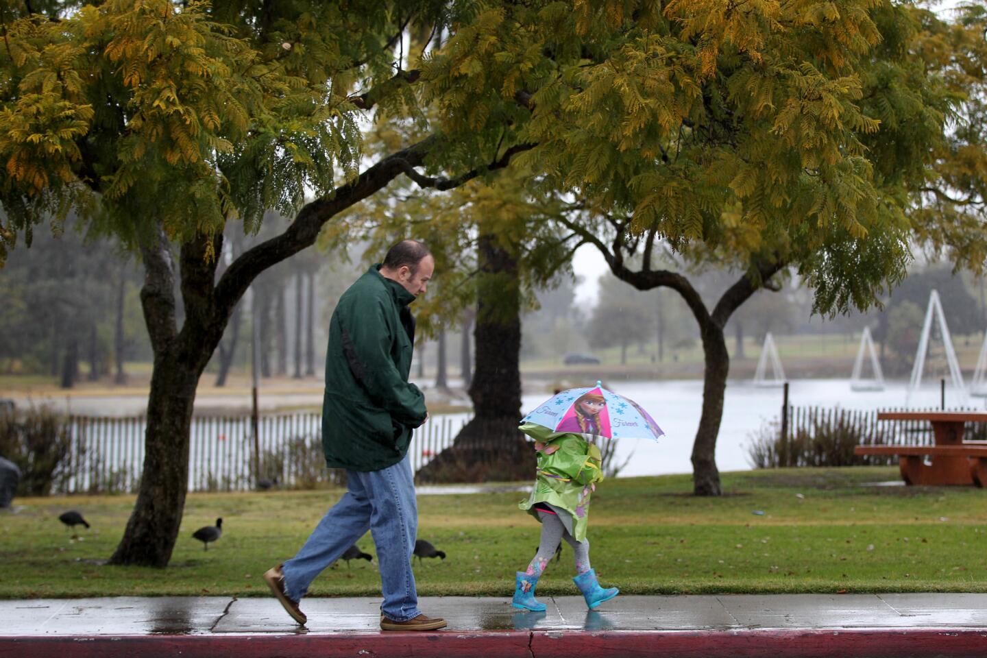
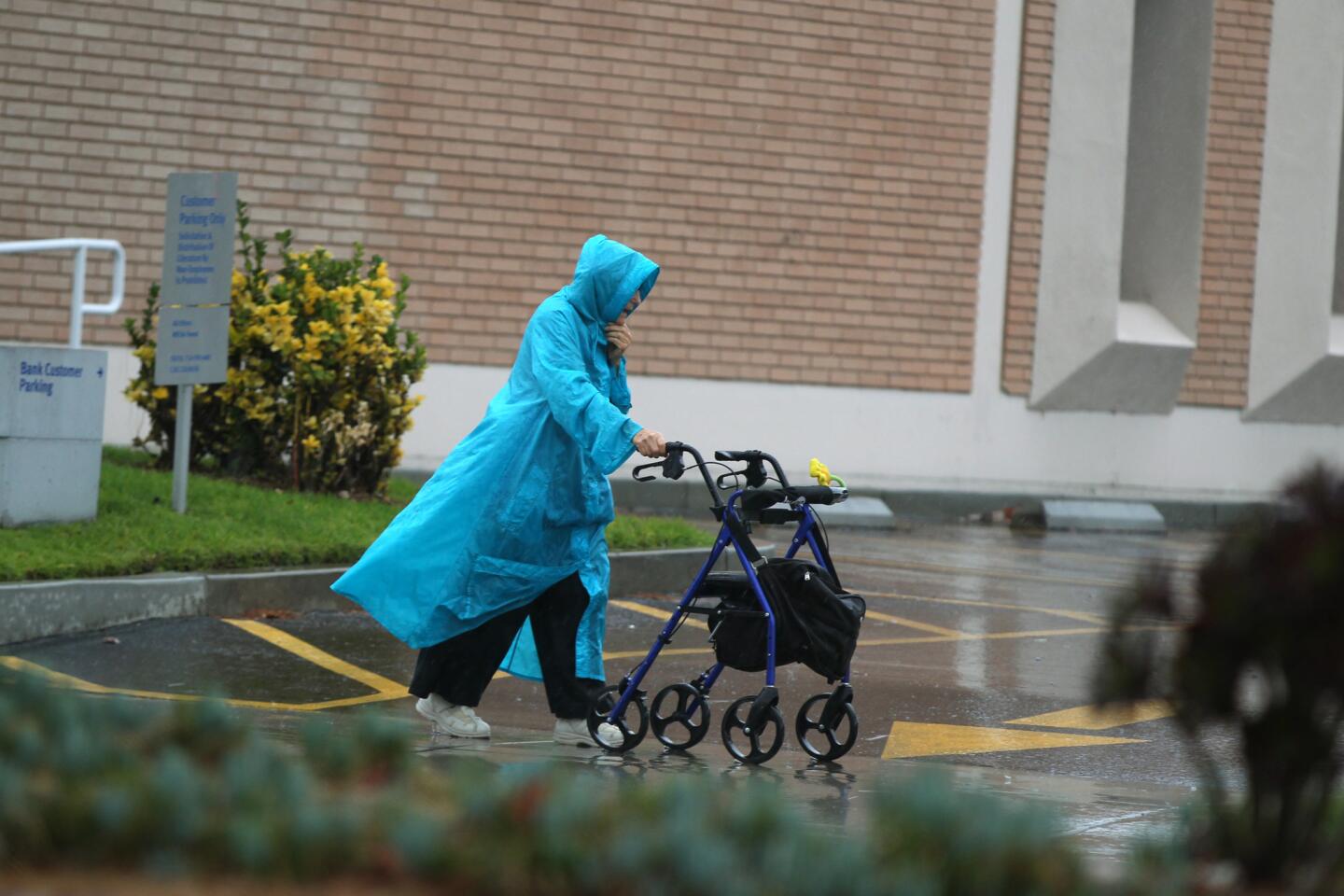
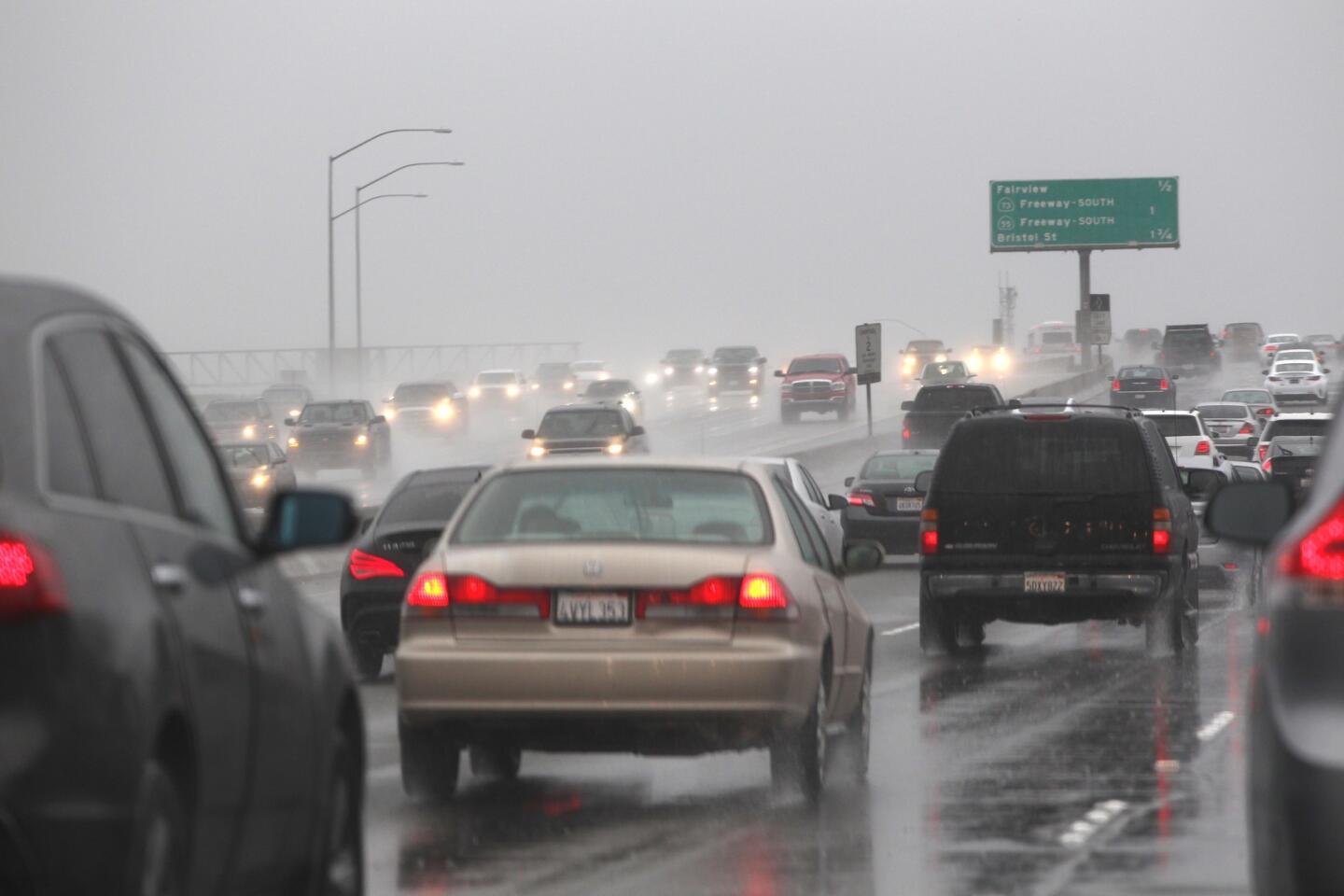
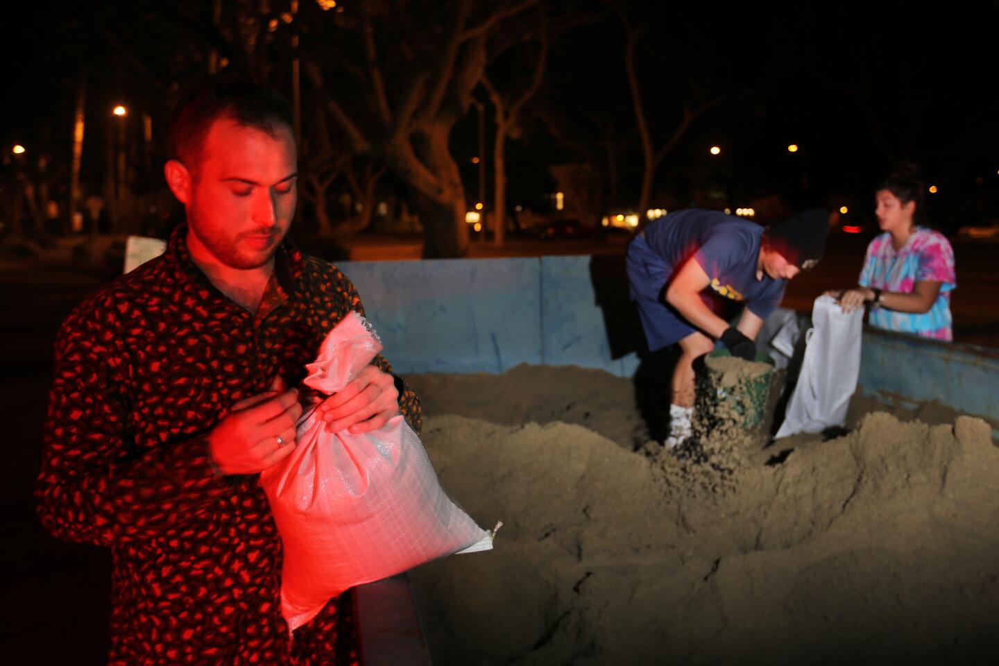
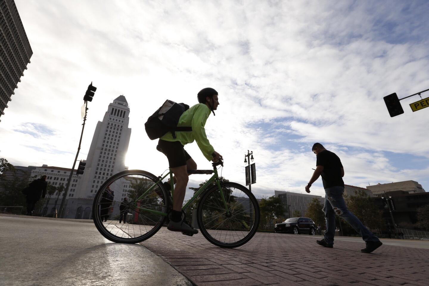
The downpour from the first major El Niño storm of the season closed some Southern California roads and slowed commutes Tuesday.
This week was the first that the weather pattern associated with El Niño has formed over California this season. A first system Monday didn’t amount to much after it ran into dry air out of the mountains, but three more storms are targeting California on Tuesday, Wednesday and Thursday, Patzert said.
“The next systems seem primed to deliver at least a couple good punches Tuesday and Wednesday, followed by plenty of showers Thursday,” the National Weather Service in Oxnard said in its forecast.
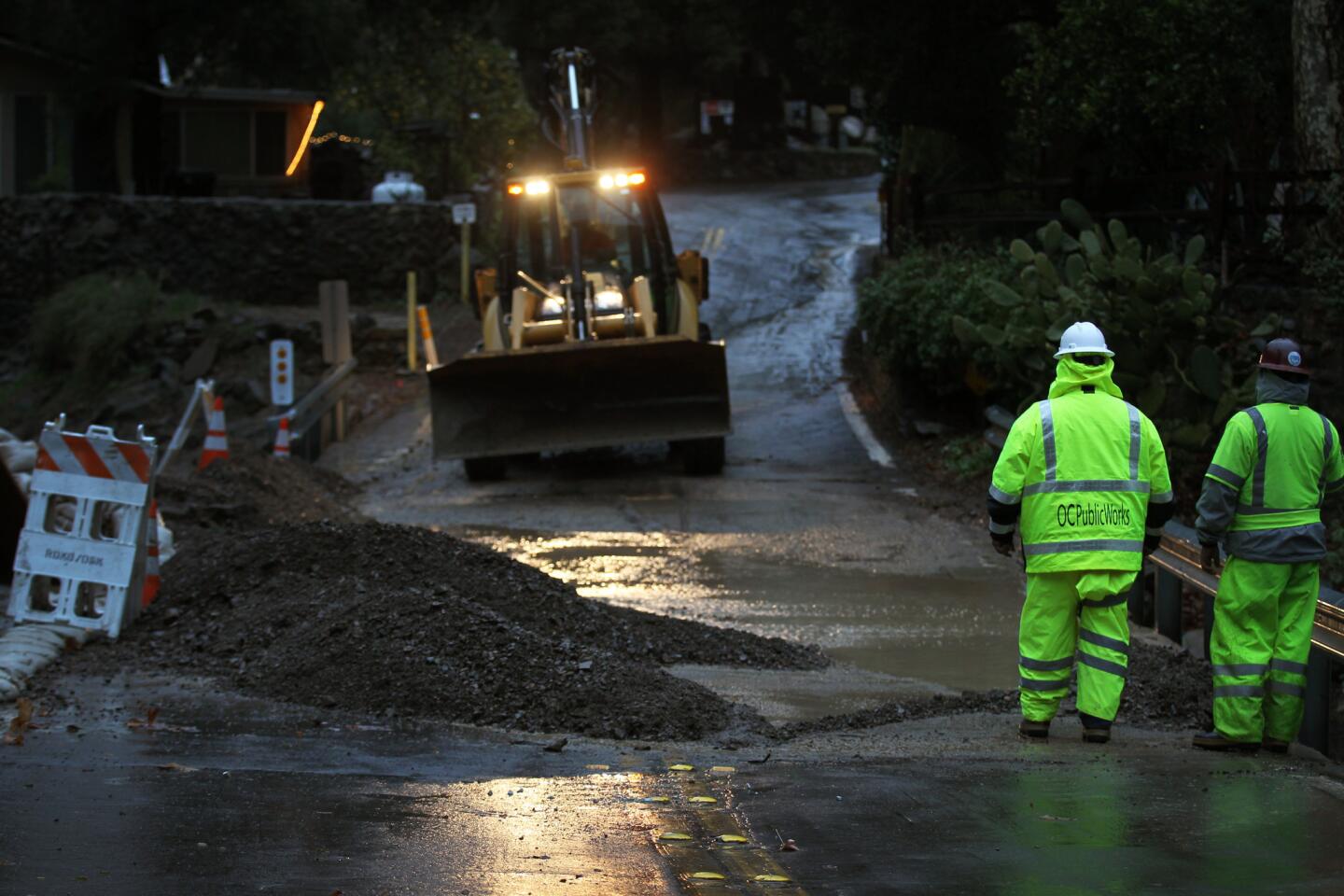
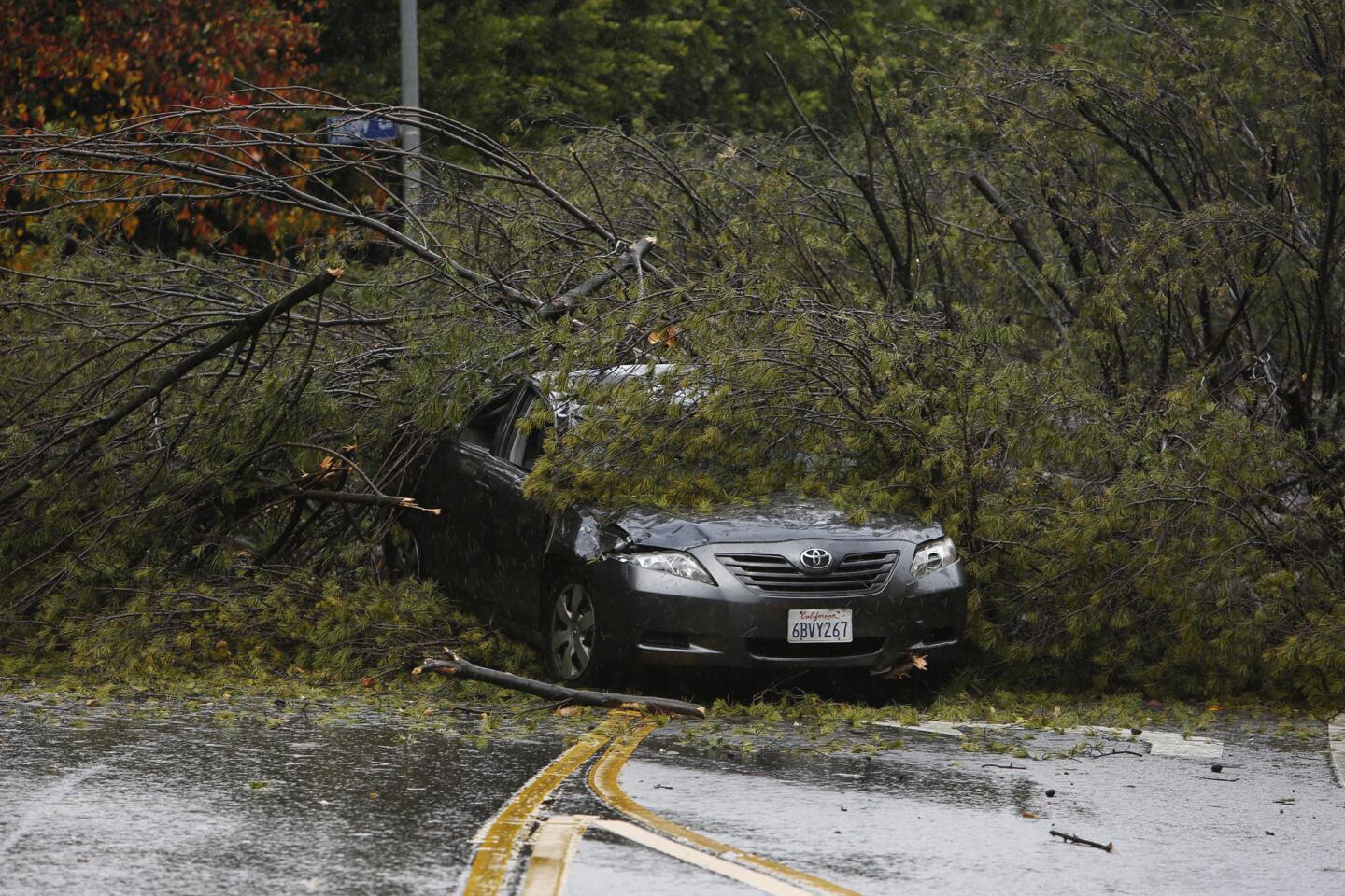
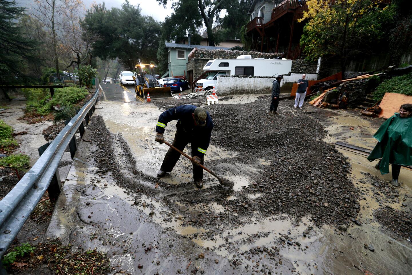
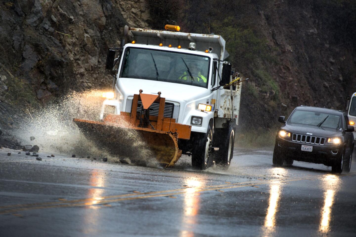
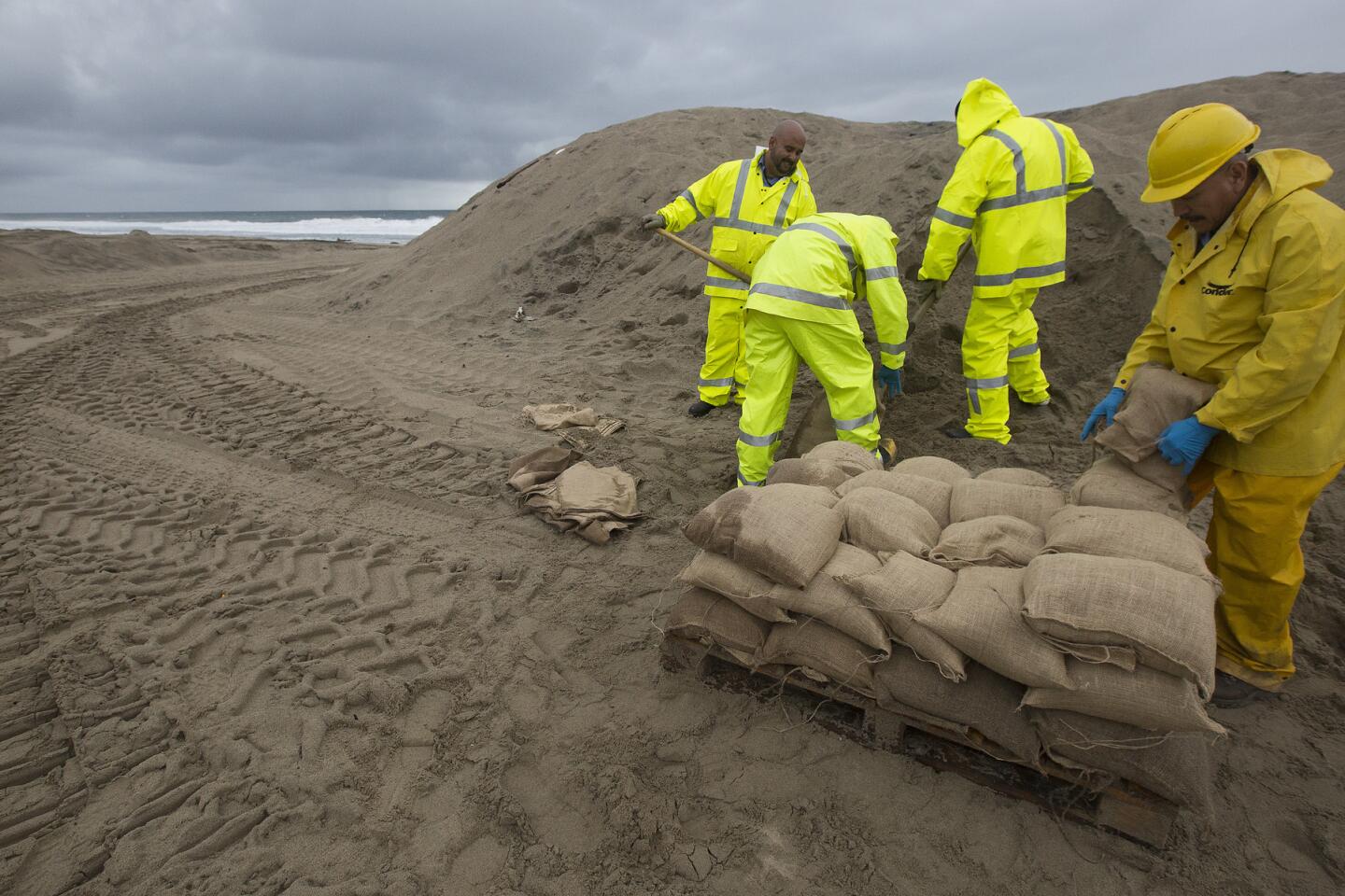
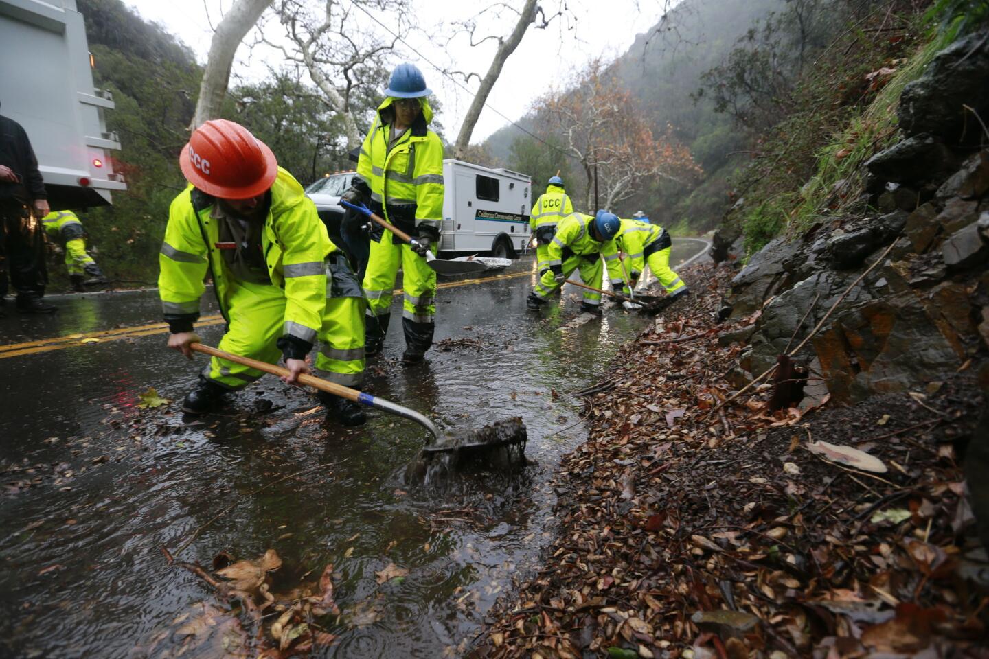
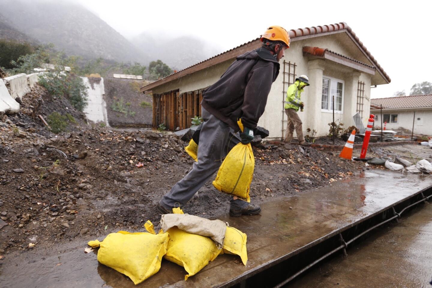
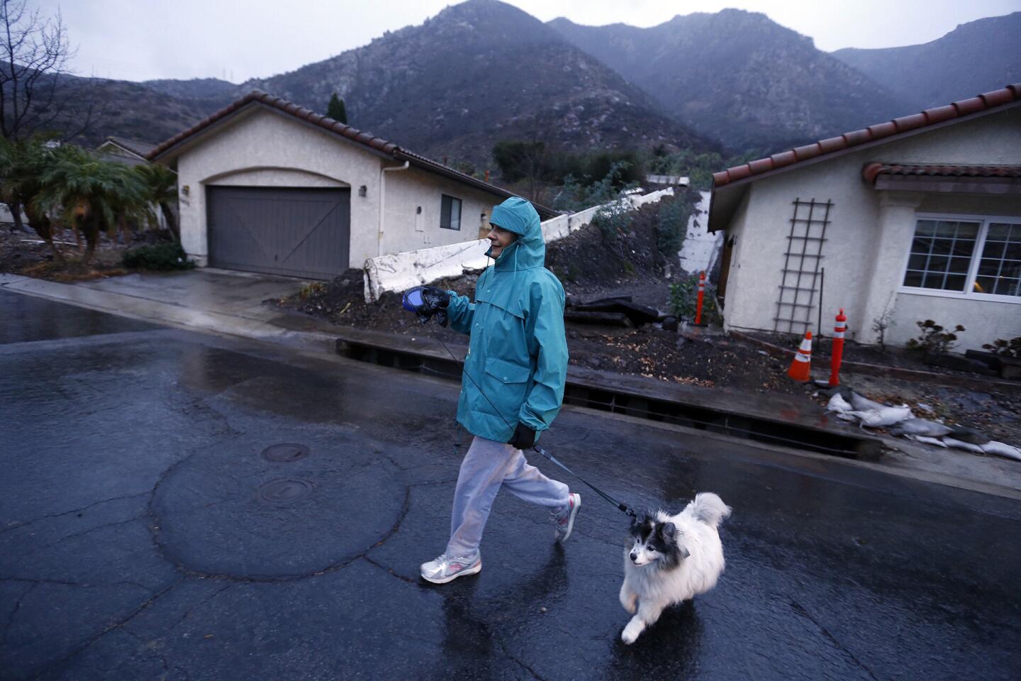
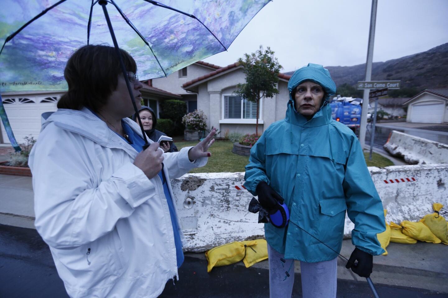
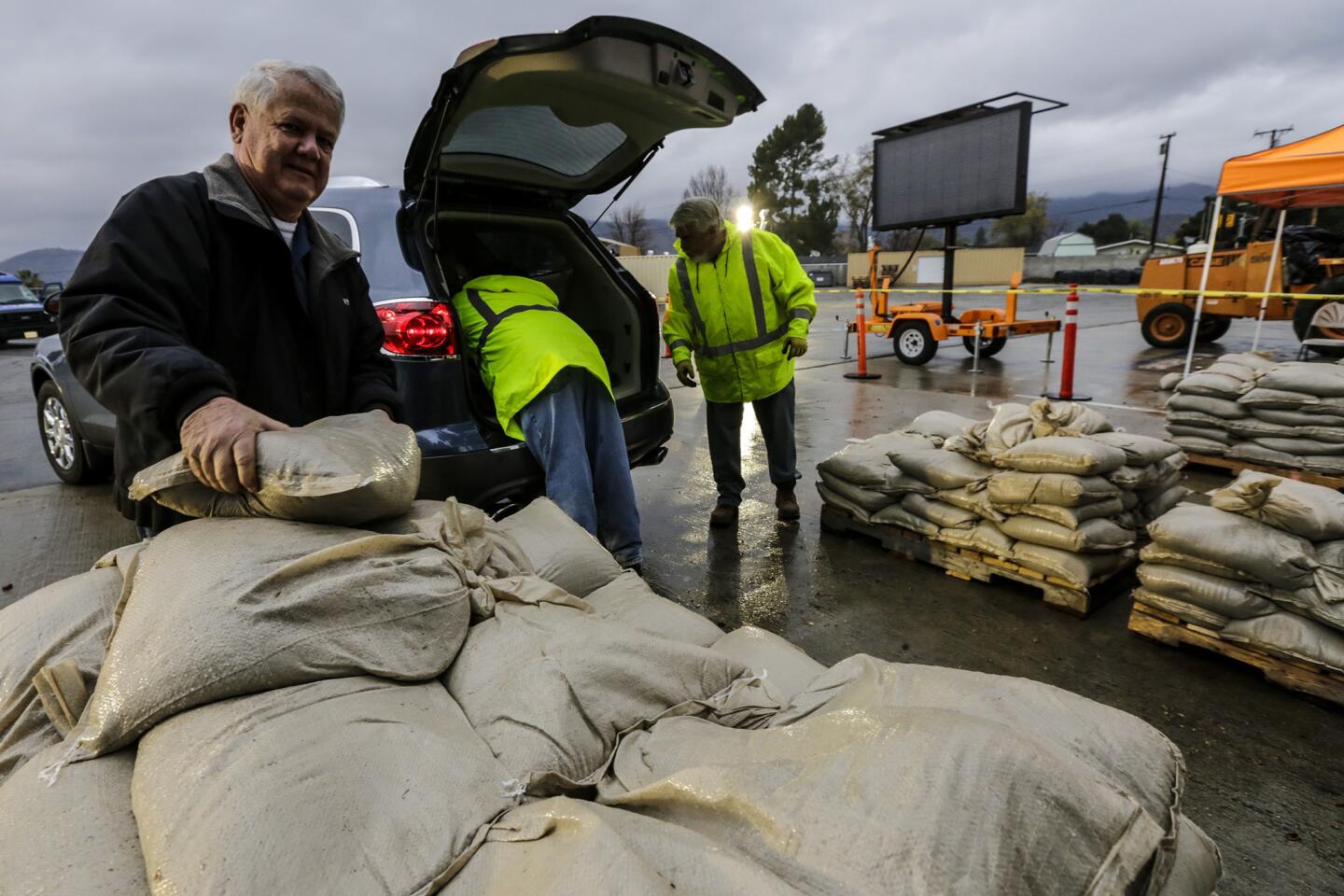
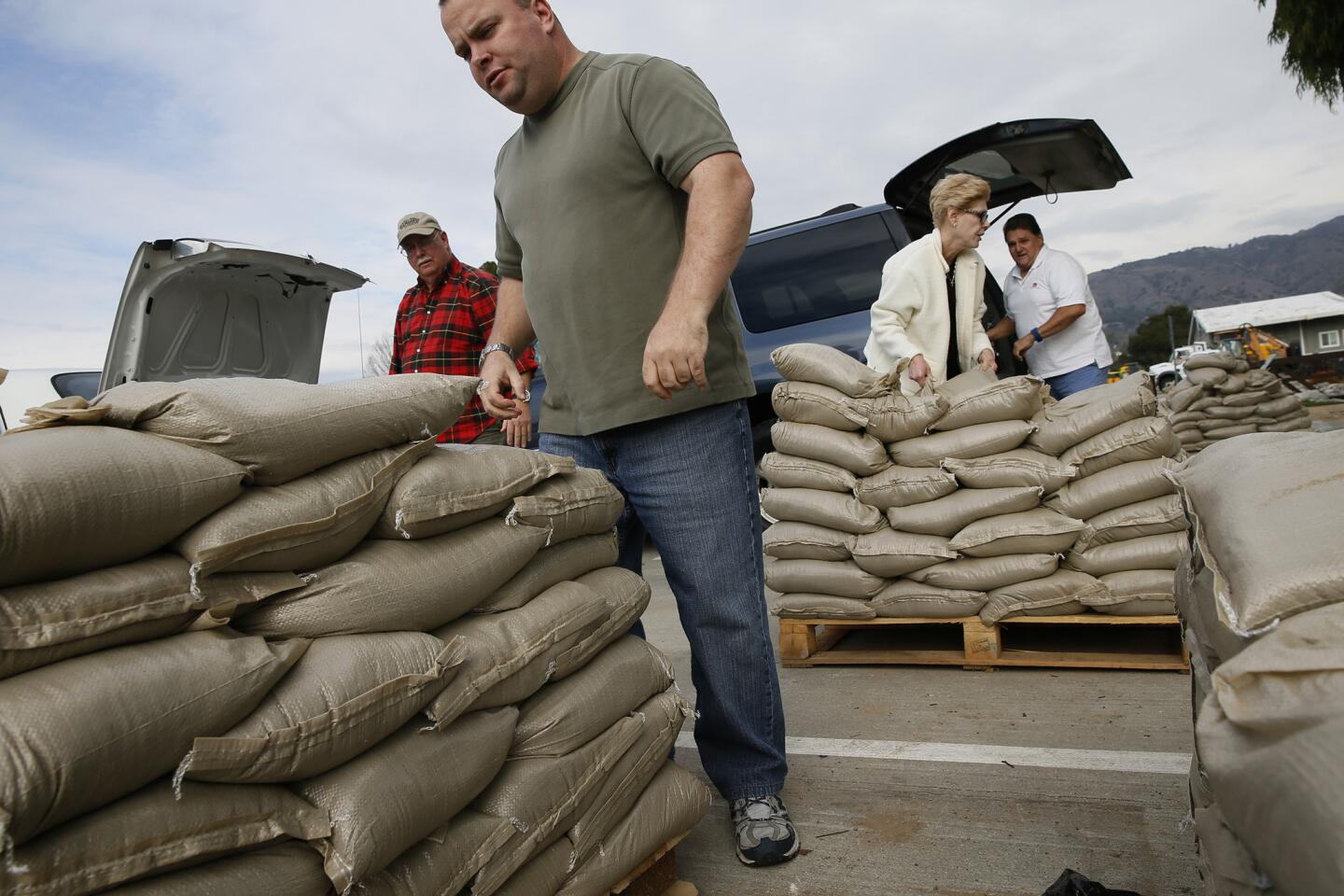
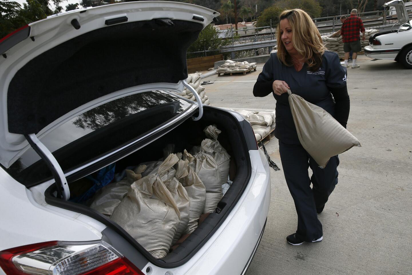
The riskiest areas for this week are areas recently burned by wildfires, such as the Camarillo Springs community in Ventura County, Silverado Canyon in Orange County, and the communities near the Christmas weekend brush fire that burned north of Ventura. Officials are concerned about flash floods in those areas, and a voluntary evacuation advisory is planned for Silverado Canyon, which is recovering from a fire in 2014.
But the worst problems will probably come later in the winter. “This is the first major line of storms. The ground isn’t quite saturated yet,” said meteorologist James Thomas of the National Weather Service in San Diego.
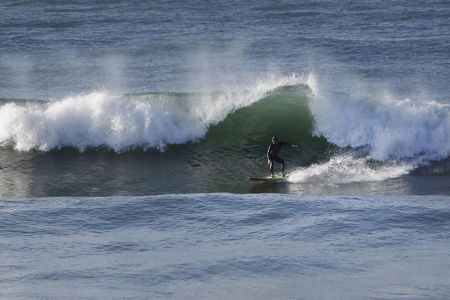
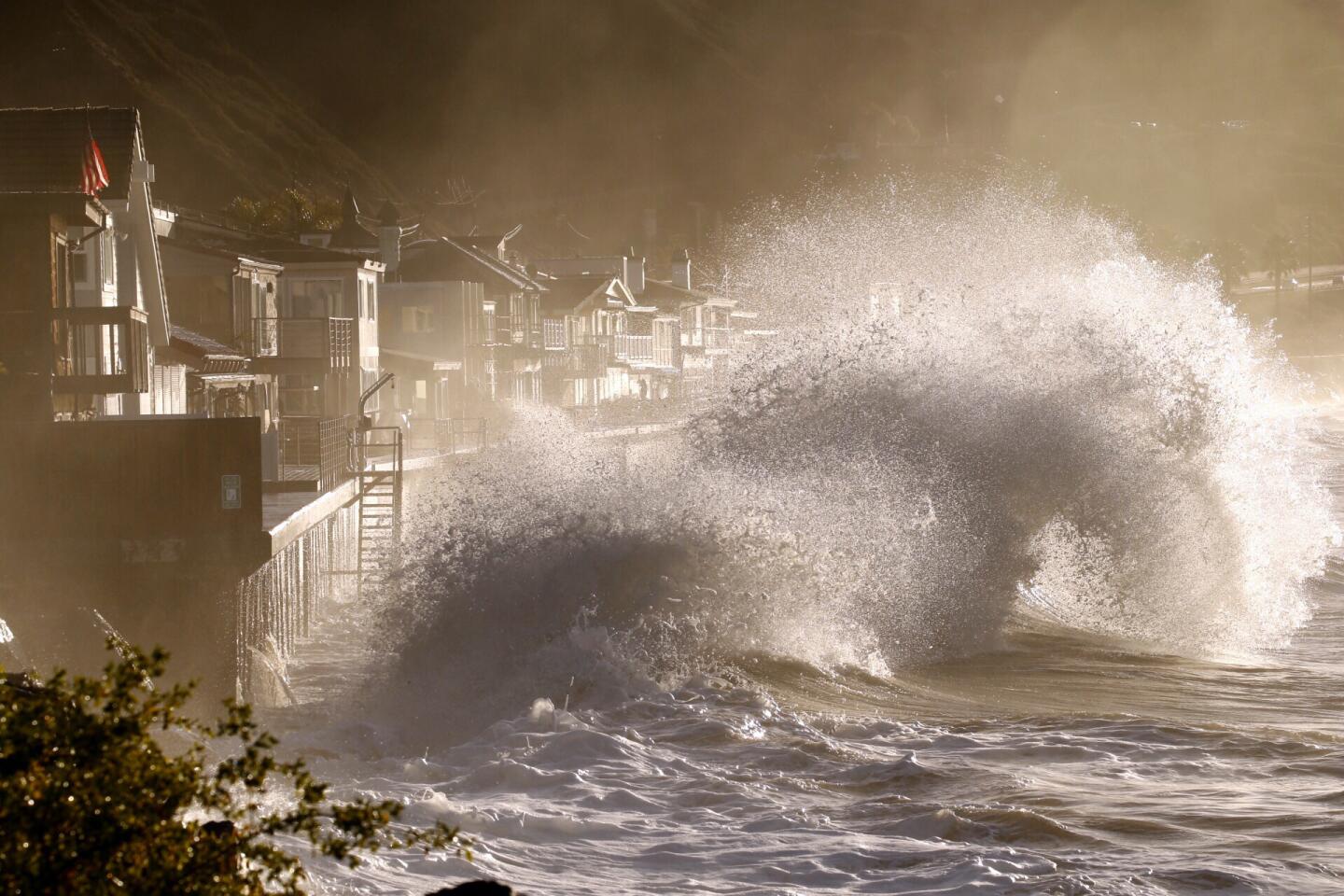
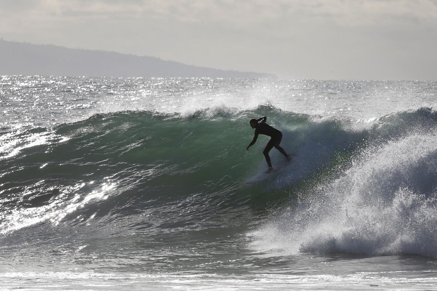
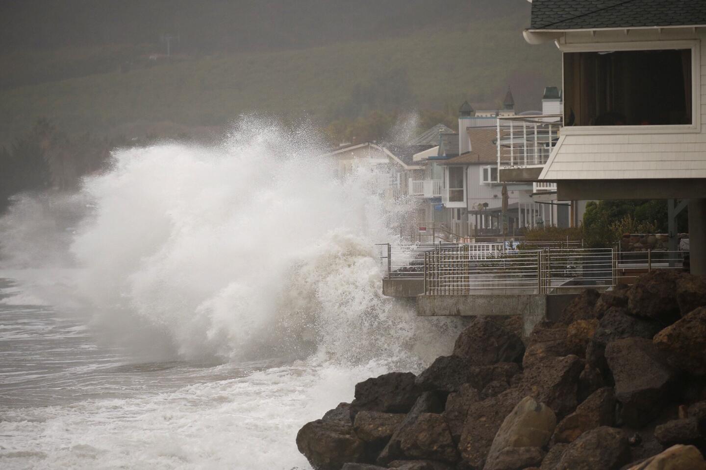
It’s later in the winter that the risk heightens; in Southern California, that’s particularly in neighborhoods and roads below arroyos and canyons and along the beach.
“That’s called, ‘The price you pay with the view,’” Patzert said.
Still, Patzert said, Southern California isn’t expected to encounter the same kind of widespread regional flooding that has hit the South in recent weeks. Although such devastating flooding occurred earlier in the 20th century, the transformation of the Los Angeles, San Gabriel and Santa Ana rivers into concrete-lined flood control channels has protected the region for generations.
Besides this El Niño, there are only two similarly strong El Niños in the record books over the last half-century.
The 1982-83 El Niño caused more than $500 million in property damage in California, which is equivalent to more than $1 billion in today’s dollars, and unleashed flooding and sent mud and rock raining over canyon and coastal roads, destroying the Seal Beach Pier and severely damaging the Santa Monica Pier.
FULL COVERAGE: Preparing for El Niño >>
The El Niño of 1997-98 also caused more than $500 million in damage, and 17 people died during those storms. In February 1998, 13.68 inches of rain poured down on Los Angeles — almost a year’s worth of precipitation. That month, two California Highway Patrol officers died in San Luis Obispo County after their car fell into a massive sinkhole as a river eroded a highway; two Pomona College students were killed when a tree slammed into their SUV; and mud pummeled homes in Laguna Beach, crushing homes and killing two men.
The arrival of the El Niño-influenced weather pattern in California comes just as expected, when El Niño’s influence on California weather peaks in January, February and March. A subtropical jet stream that’s normally not well-defined has emerged as a strong force over California. And “when the jet stream is stronger and closer, the storms can maintain their strength or get stronger as they approach California,” Daniel Swain, a climate scientist at Stanford University, said in an interview.
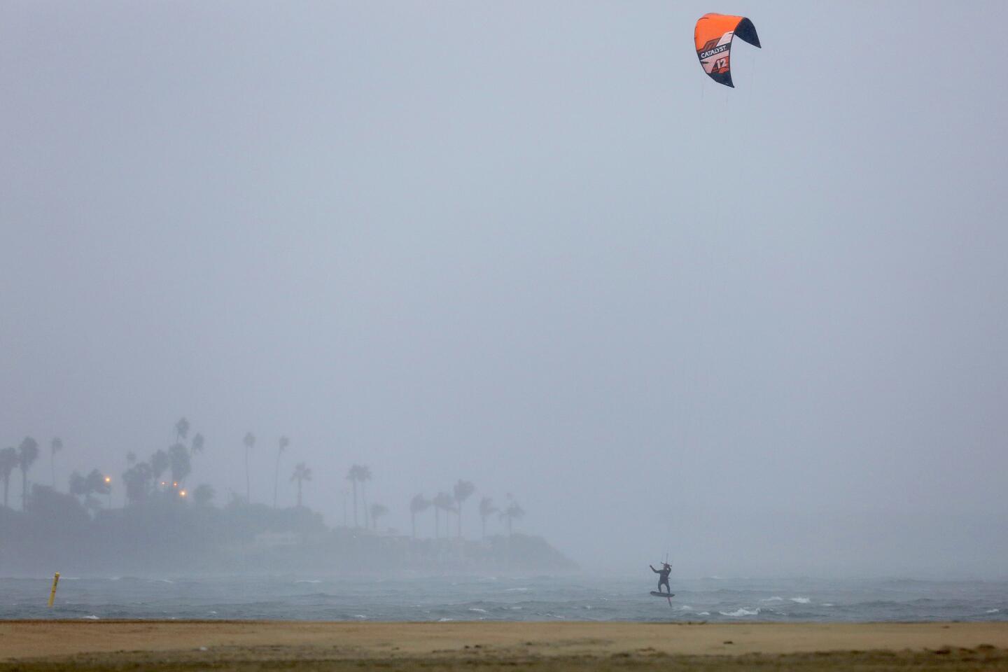
The back-to-back storms means a week not seen since December 2010, the last time a weeklong series of weather systems had a significant effect on Southern California, said Thomas, the San Diego meteorologist. The National Weather Service estimates as much as 2 to 3 inches of rain will fall along the coast of Los Angeles and Orange counties through Thursday — a decent amount, given that the average rainfall for all of January in downtown Los Angeles is about 3 inches.
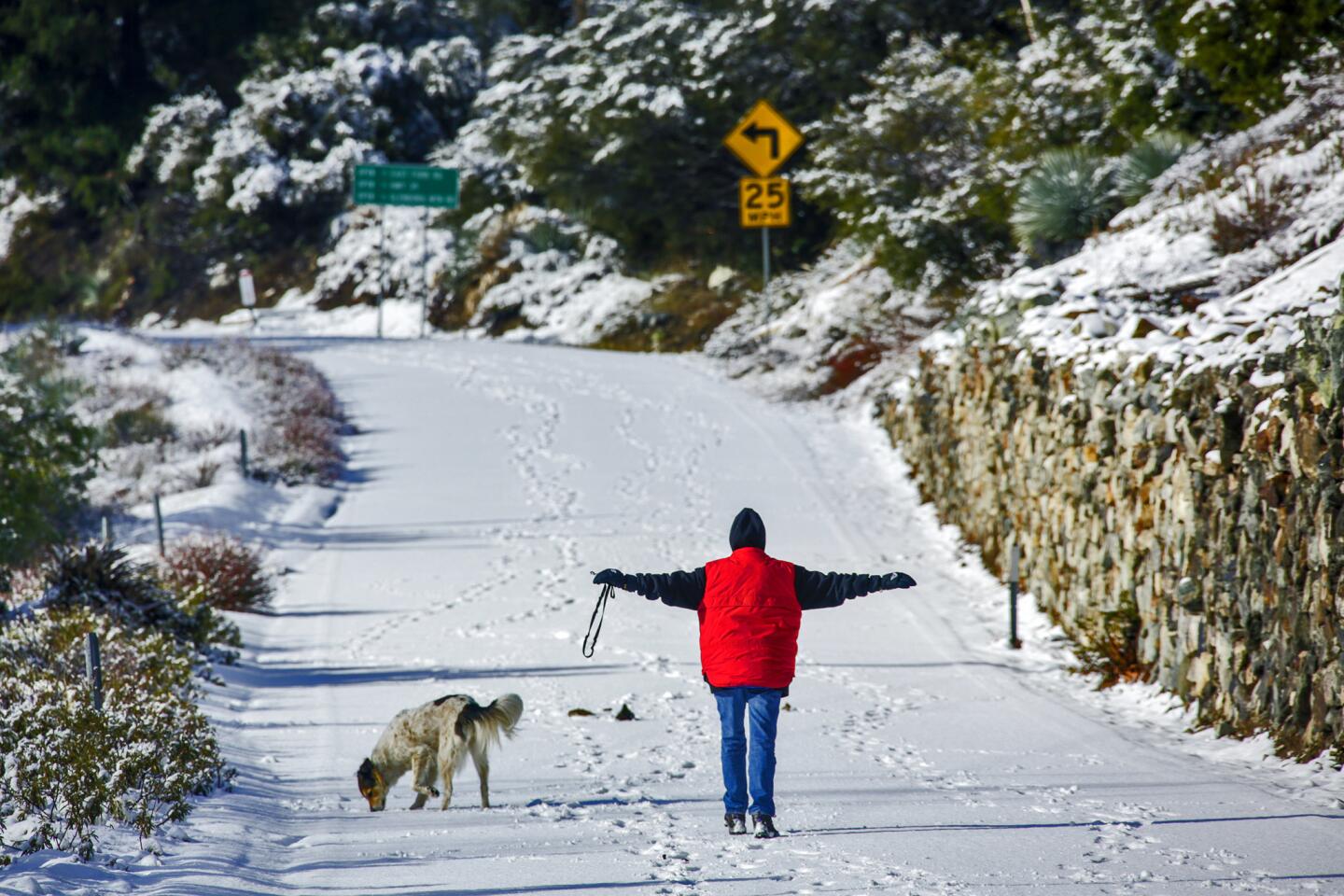
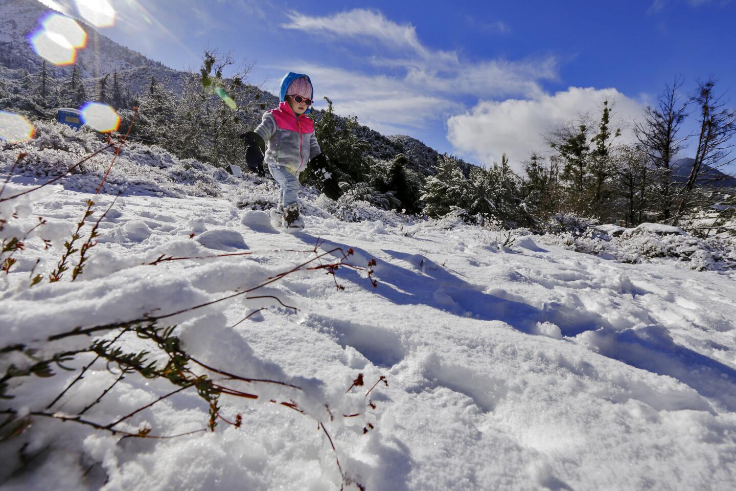
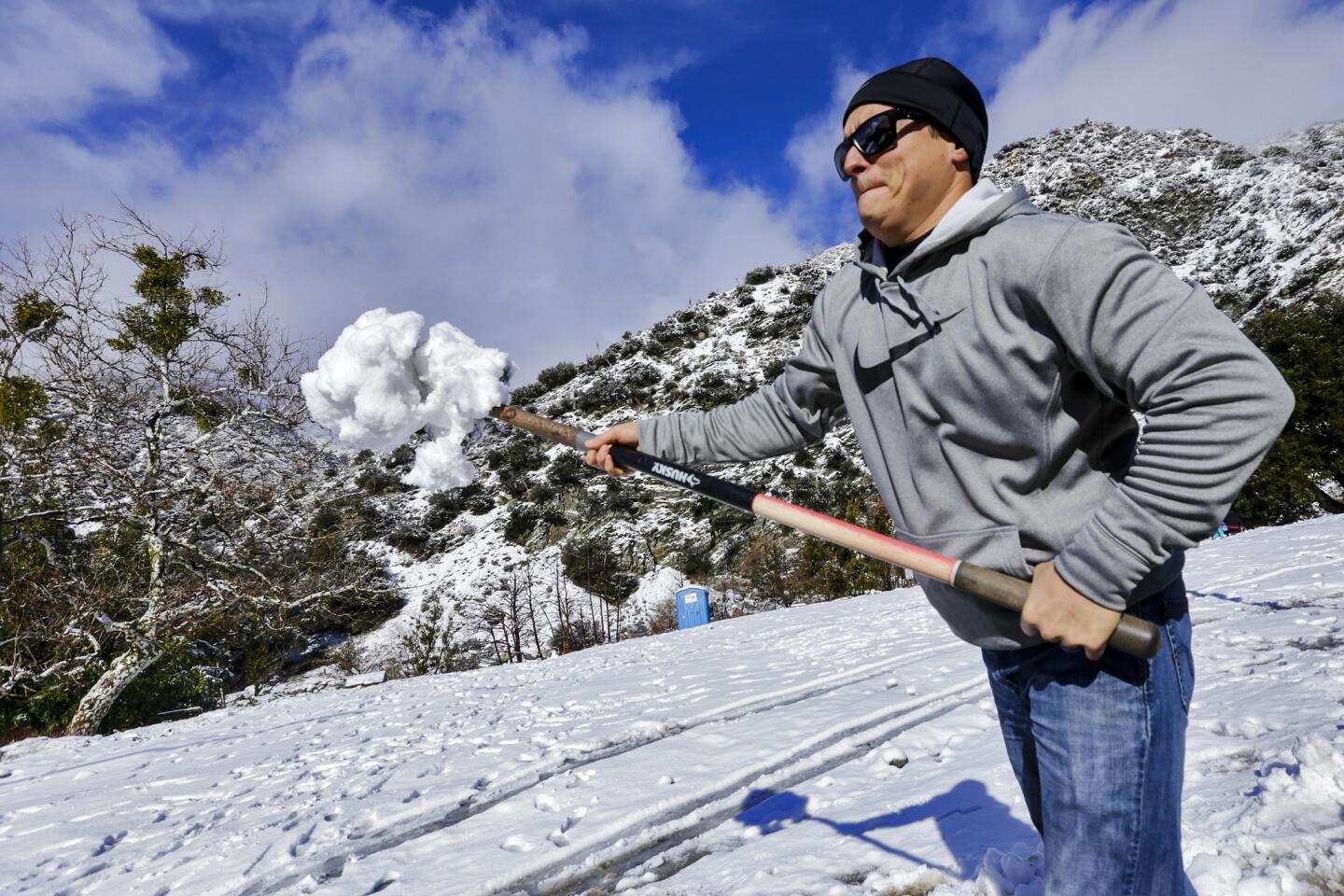
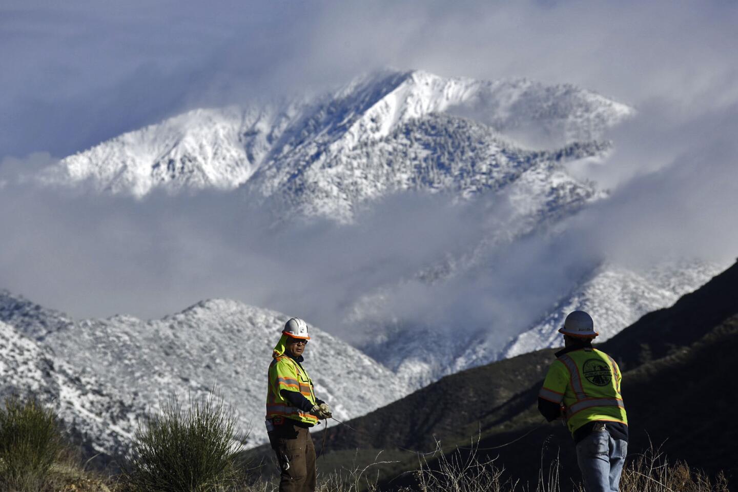
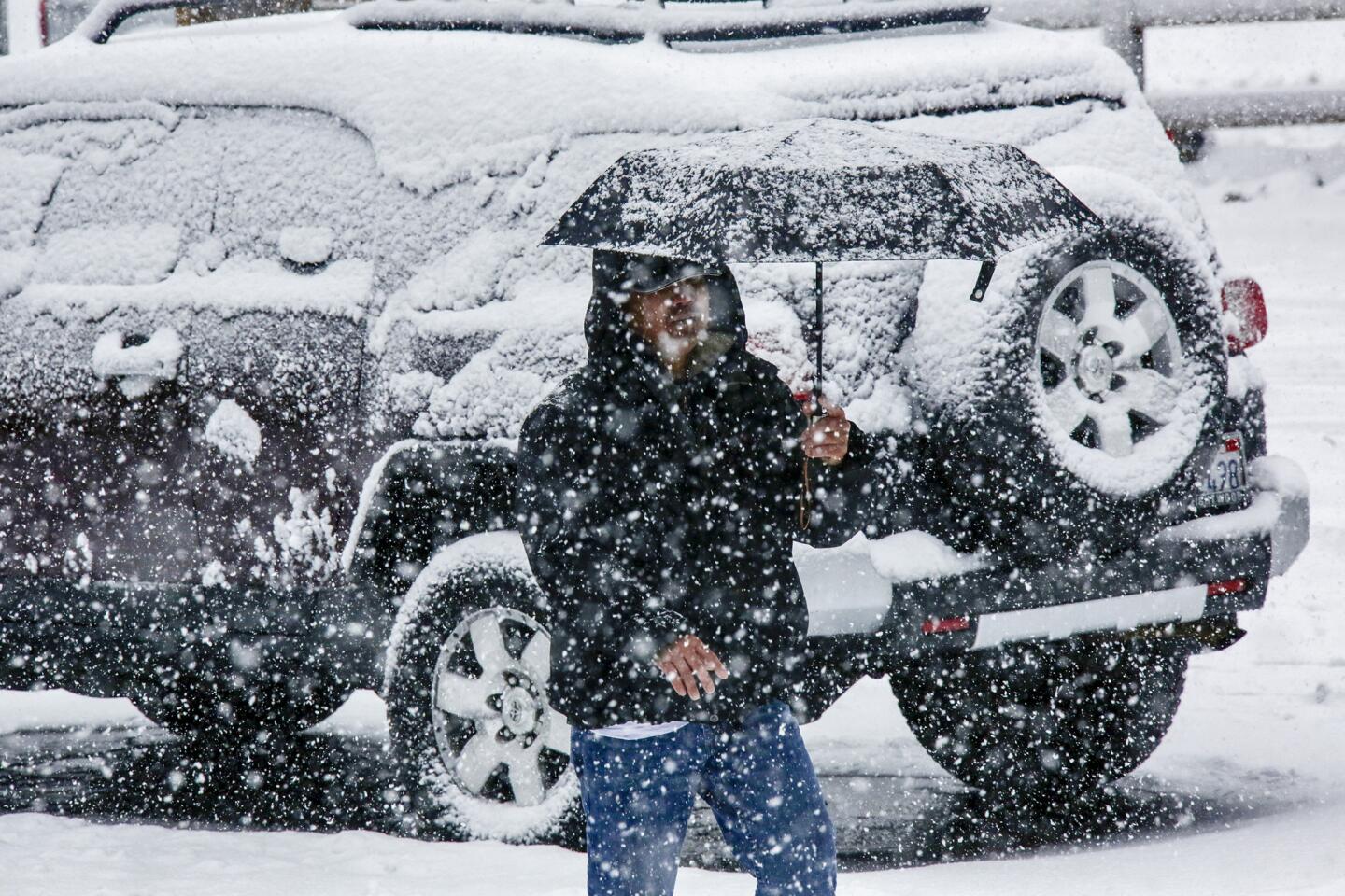
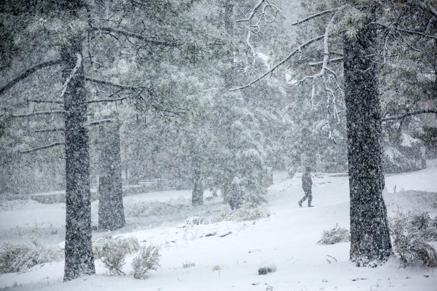
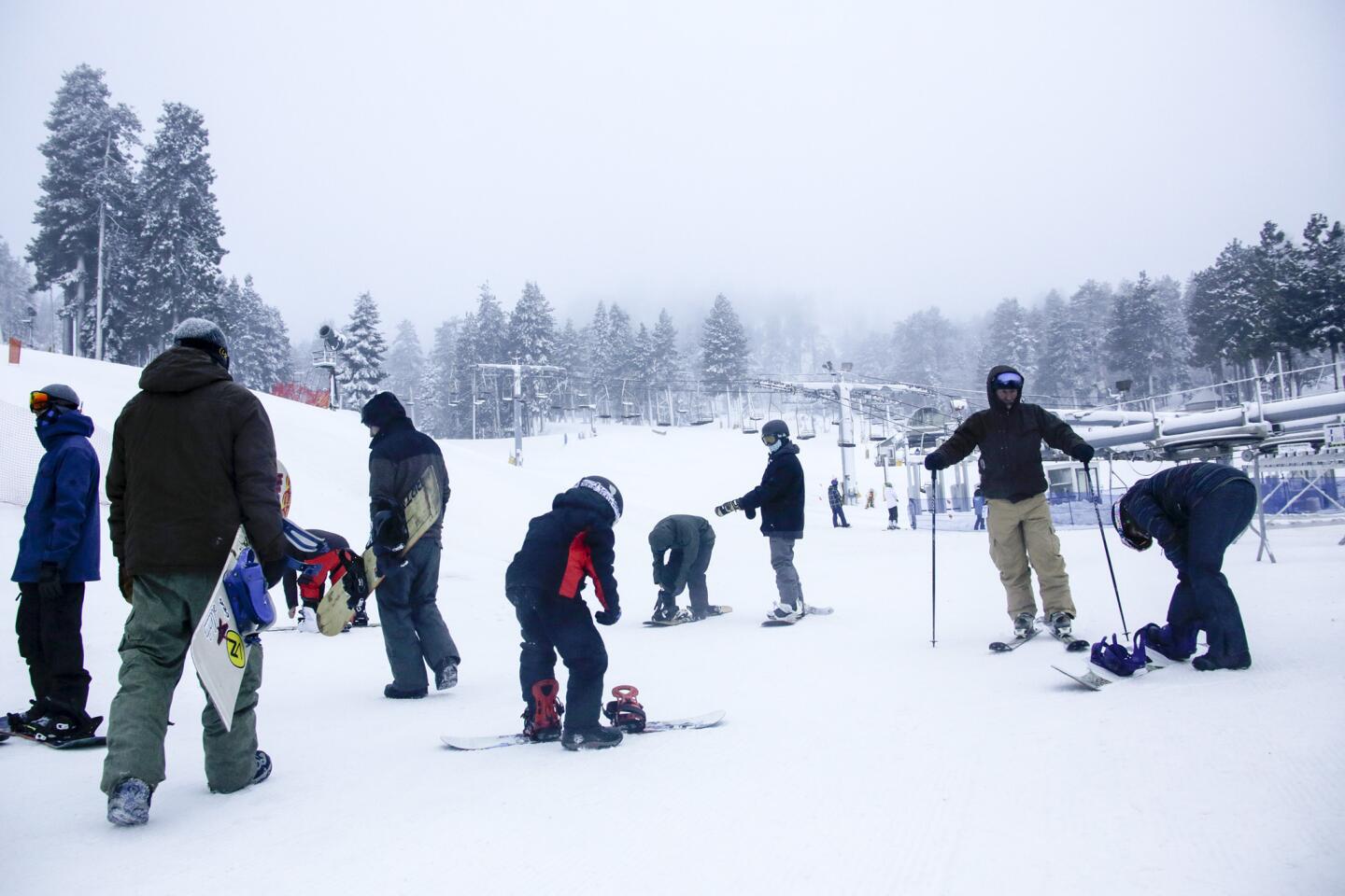
Through Thursday night, there could be 2 to 4 feet of fresh snow in the San Bernardino Mountains at elevations above 7,000 feet, where Big Bear Lake is. “So that’s significant,” Thomas said. He warned of areas of near zero visibility because of blowing snow from Tuesday afternoon through Thursday night, and gusts of up to 50 mph. “So it’ll be a mess up there.”
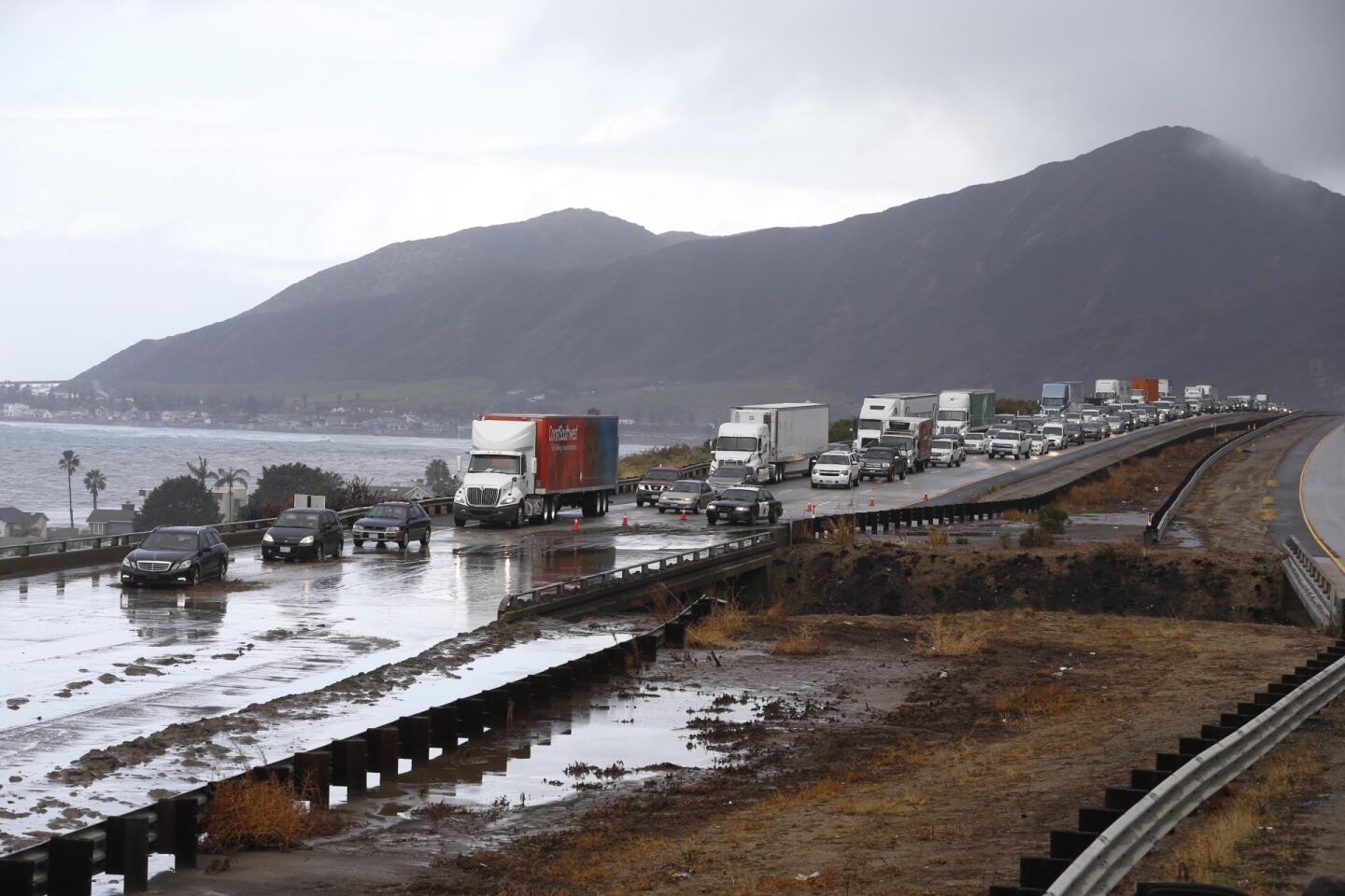
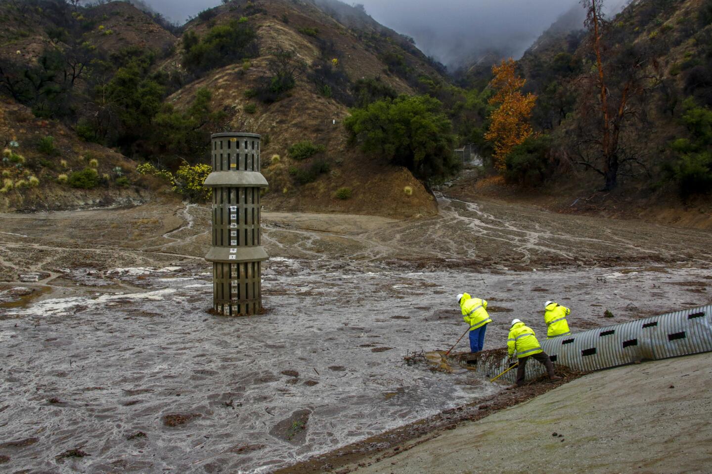
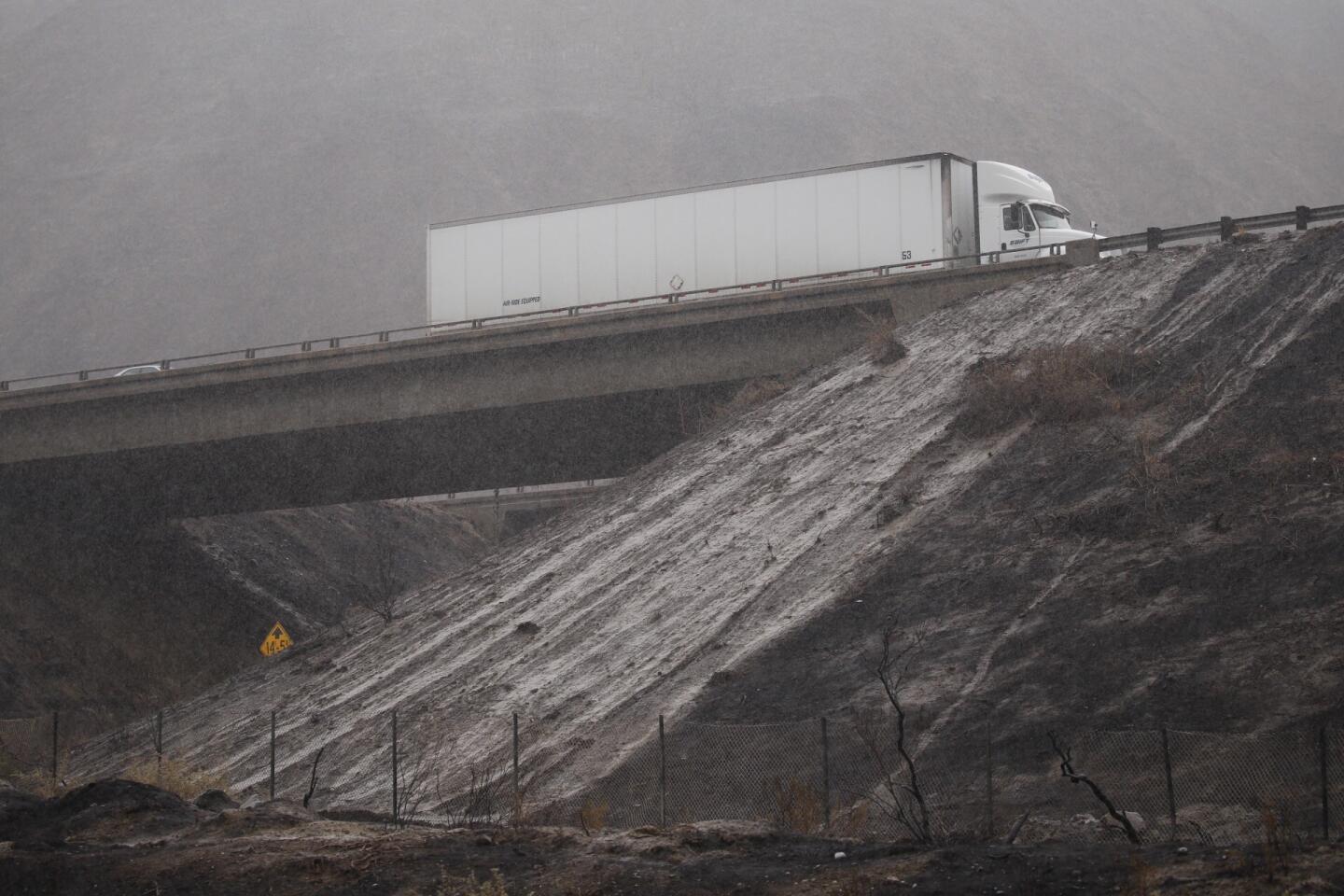
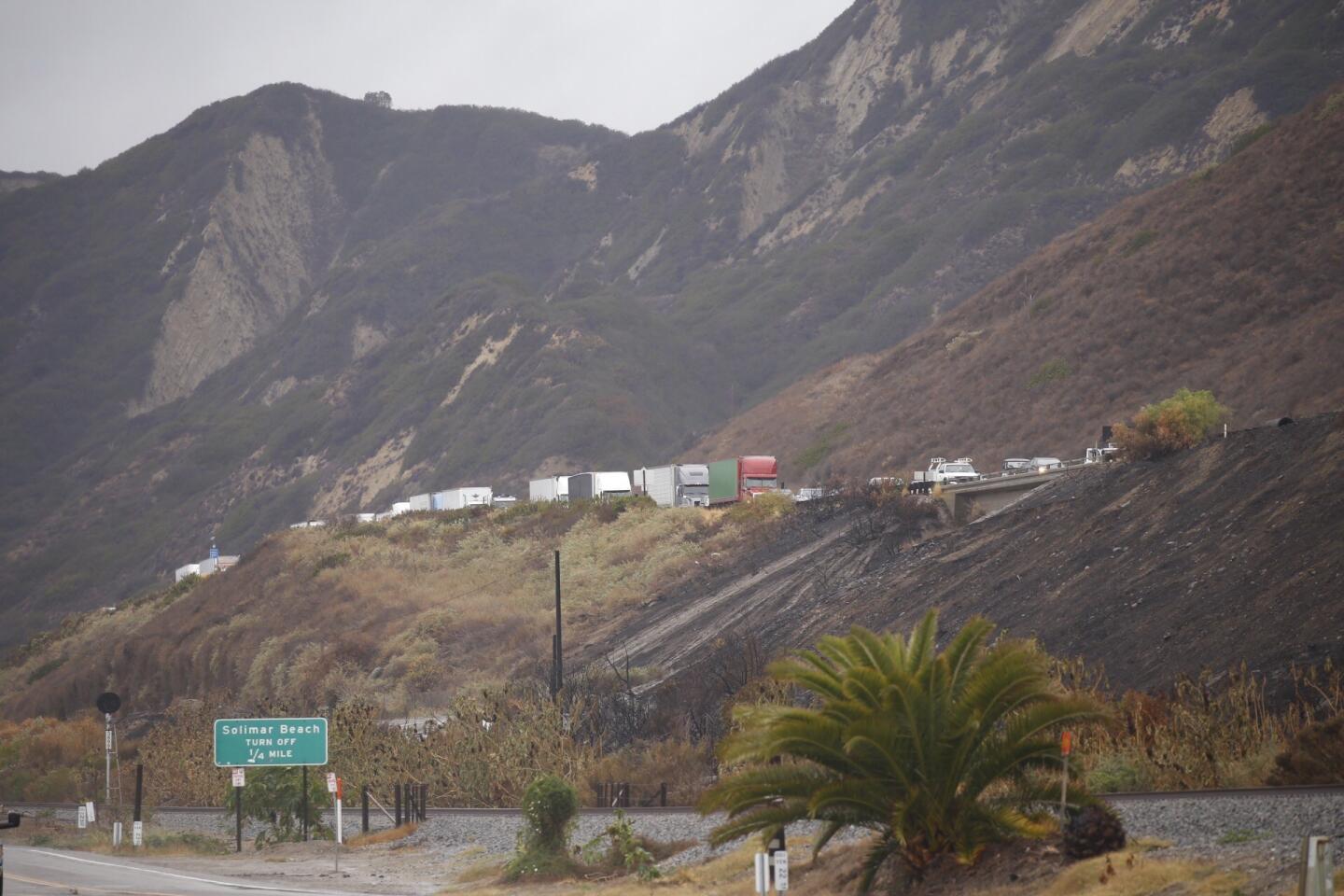
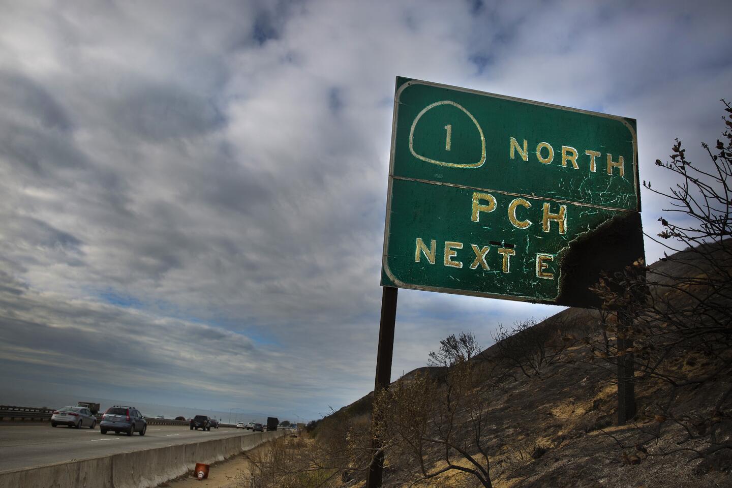
Tuesday is expected to be the heaviest storm day for officials monitoring the Solimar fire burn area north of Ventura, which charred more than 1,200 acres over Christmas weekend. Vegetation, once burned, can no longer hold back loose sediment, and officials are worried about mud and debris crashing onto Solimar Beach communities, Pacific Coast Highway and sections of the 101 Freeway all the way up to the Sea Cliff area.
Even half an inch of rain in an hour could create a debris flow in these burn areas, said Gil Zavlodaver of the Ventura County Sheriff’s Office of Emergency Services.
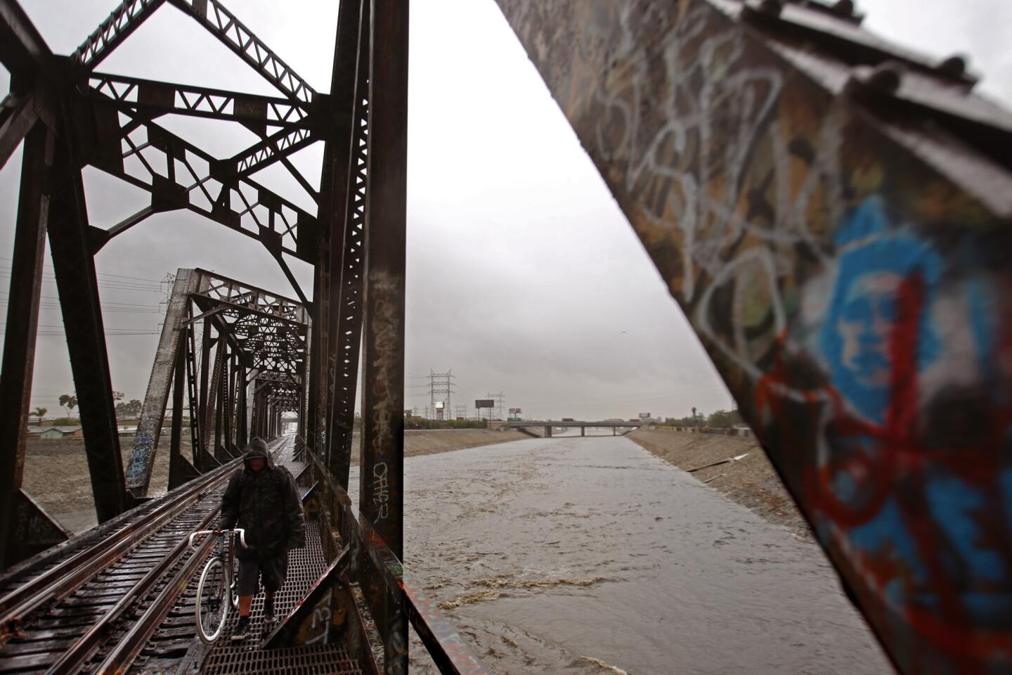
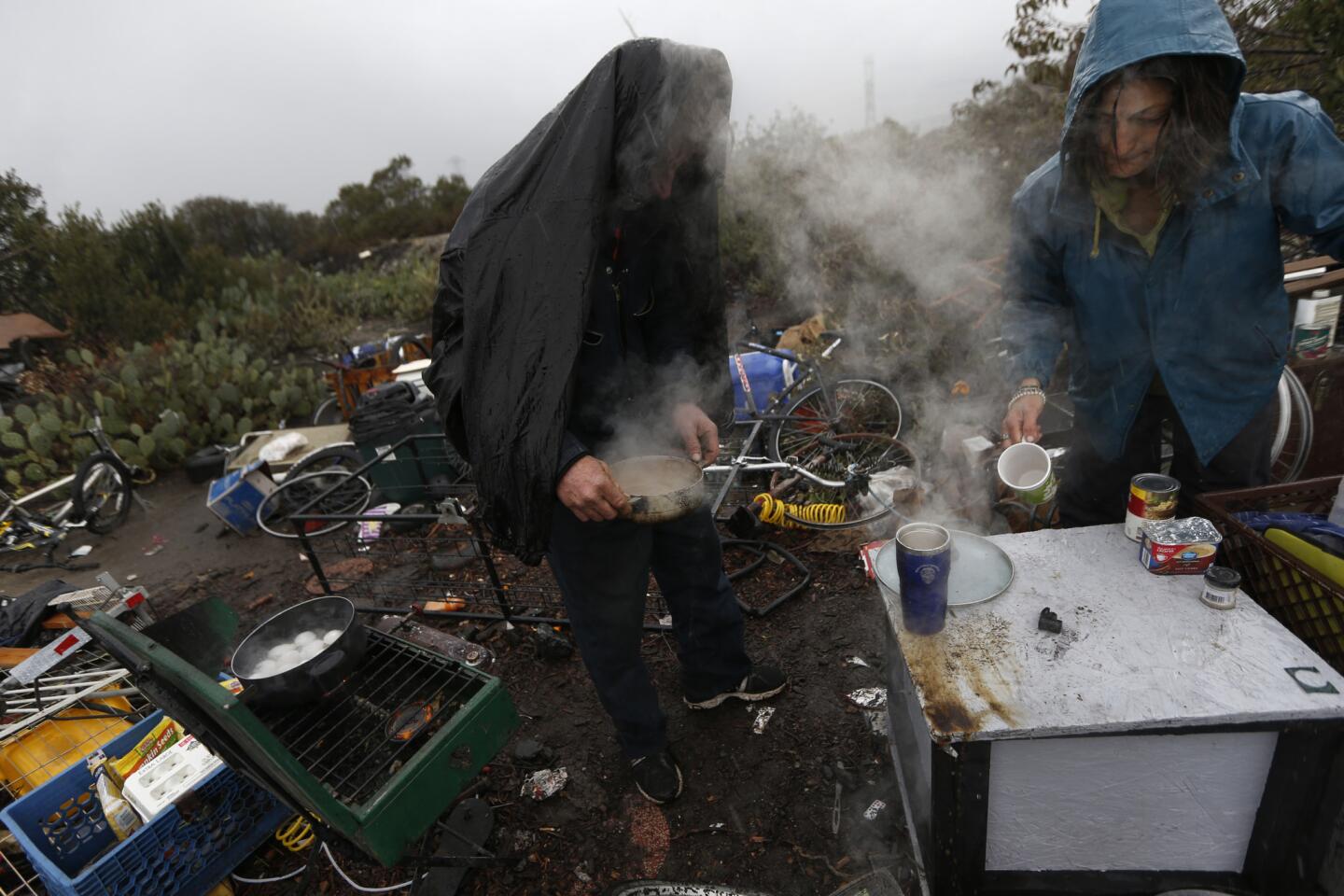
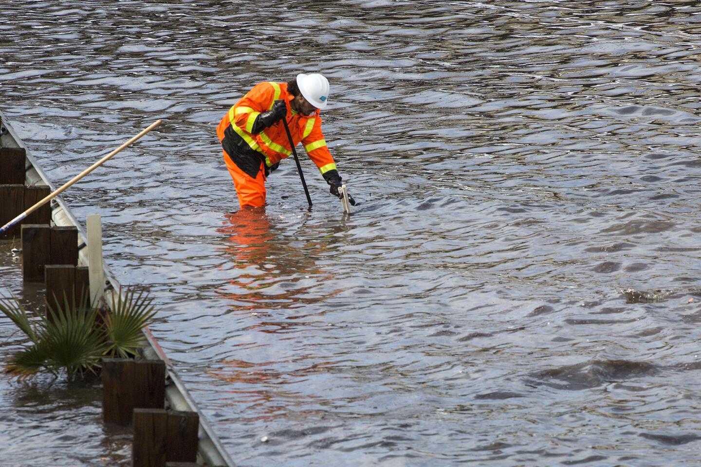
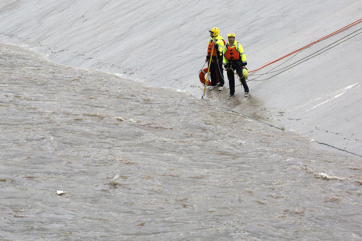
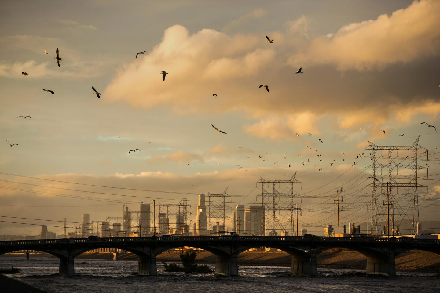
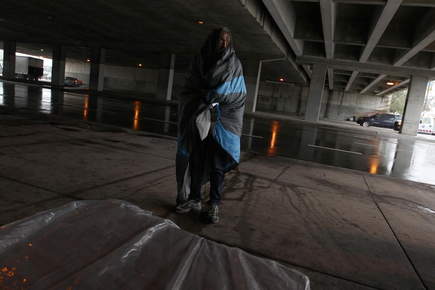
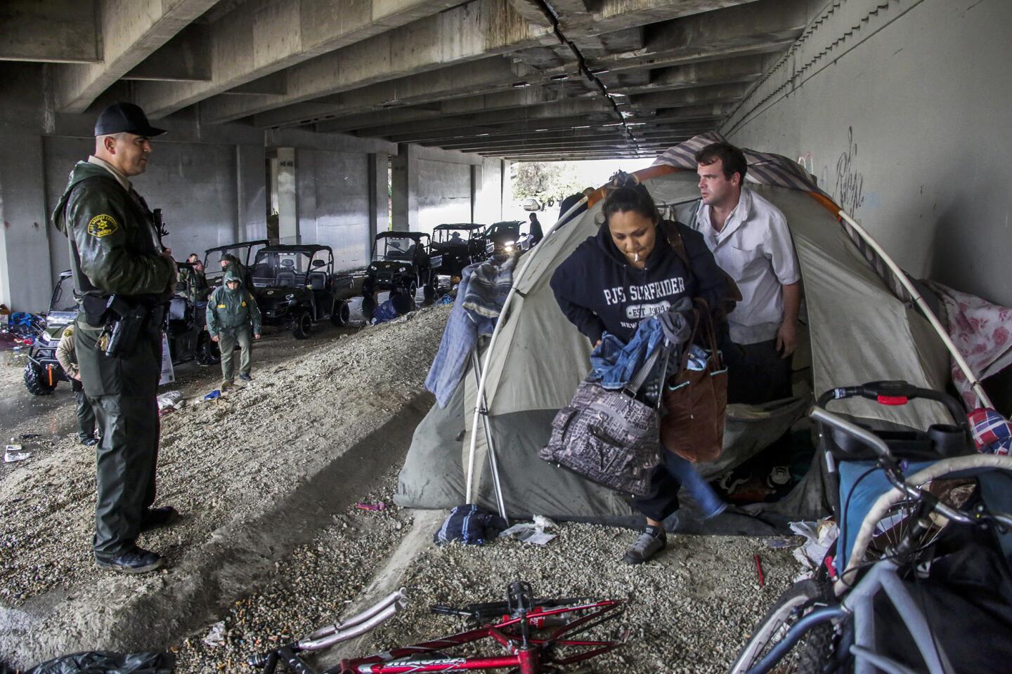
Steven Frasher, a spokesman for the Los Angeles County Department of Public Works, cautioned residents and the homeless to stay out of flood control channels such as the L.A. River and Sepulveda Dam that, in dry times, are popular recreational areas.
“They’re incredibly dangerous,” Frasher said.
“It seems that every time something like this comes through, someone underestimates the power of how much water goes through there,” Frasher said. “This is not the time to use the recreational trails. Certainly don’t go anywhere near rushing water. If you see water on the roadways, don’t go through it. It’s often faster or deeper than you think it is. Not to mention running into debris and stuff like that.”
Officials encourage residents to sign up for emergency alerts and learn more about storm preparation by visiting websites such as www.lacounty.gov/elnino and www.elninola.com for Los Angeles County residents, www.readyventuracounty.org/elnino for Ventura County, www.OCElnino.com for Orange County, www.readysandiego.org/el-nino/ for San Diego County and www.sbcounty.gov/main/elnino.asp for San Bernardino County.
Twitter: @ronlin
Twitter: @RosannaXia
MORE: Get our best stories in your Facebook feed >>
MORE ON EL NINO
First El Niño rain hits L.A.; bigger storms later in the week
Are you ready for El Niño? Here’s how to stay safe
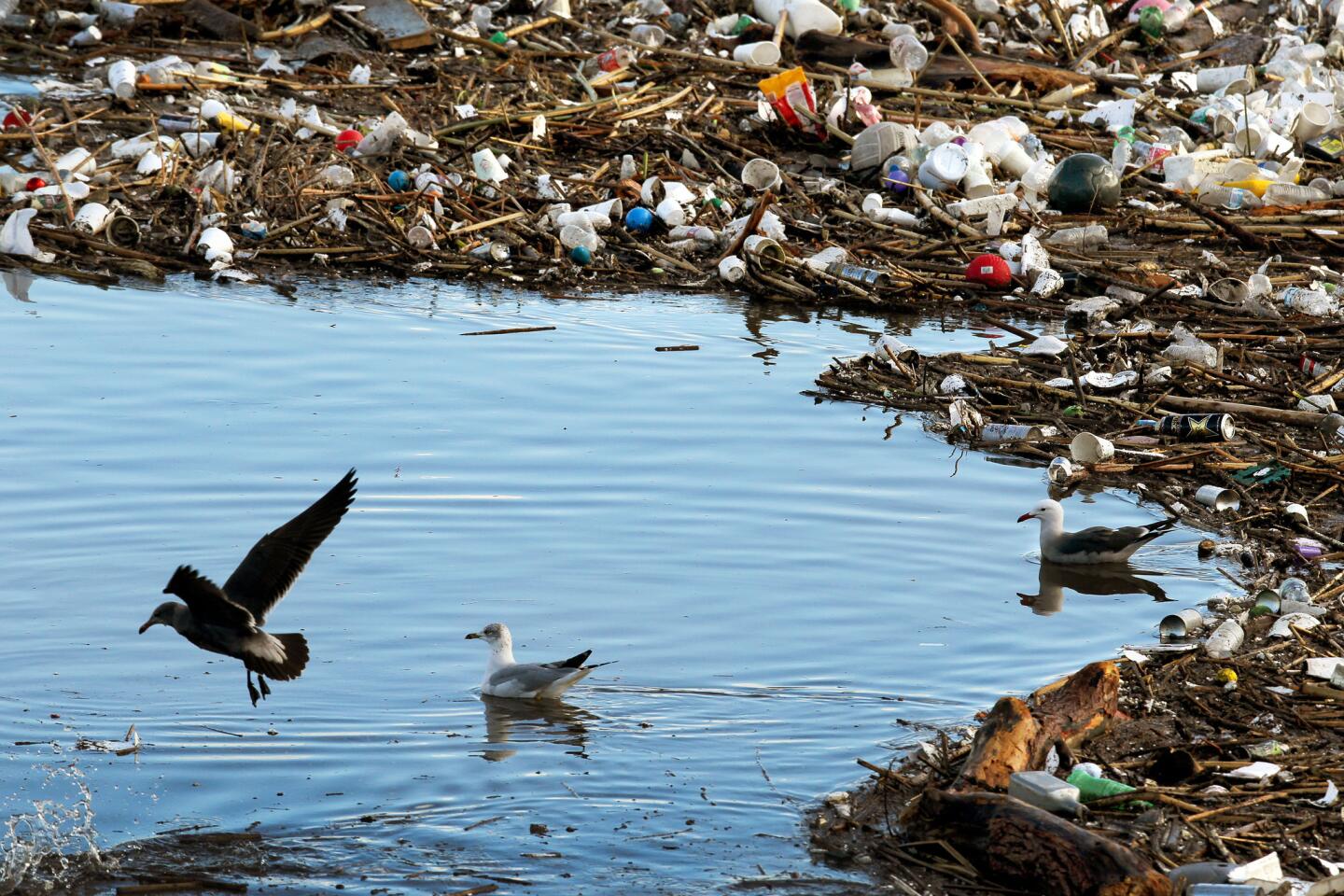
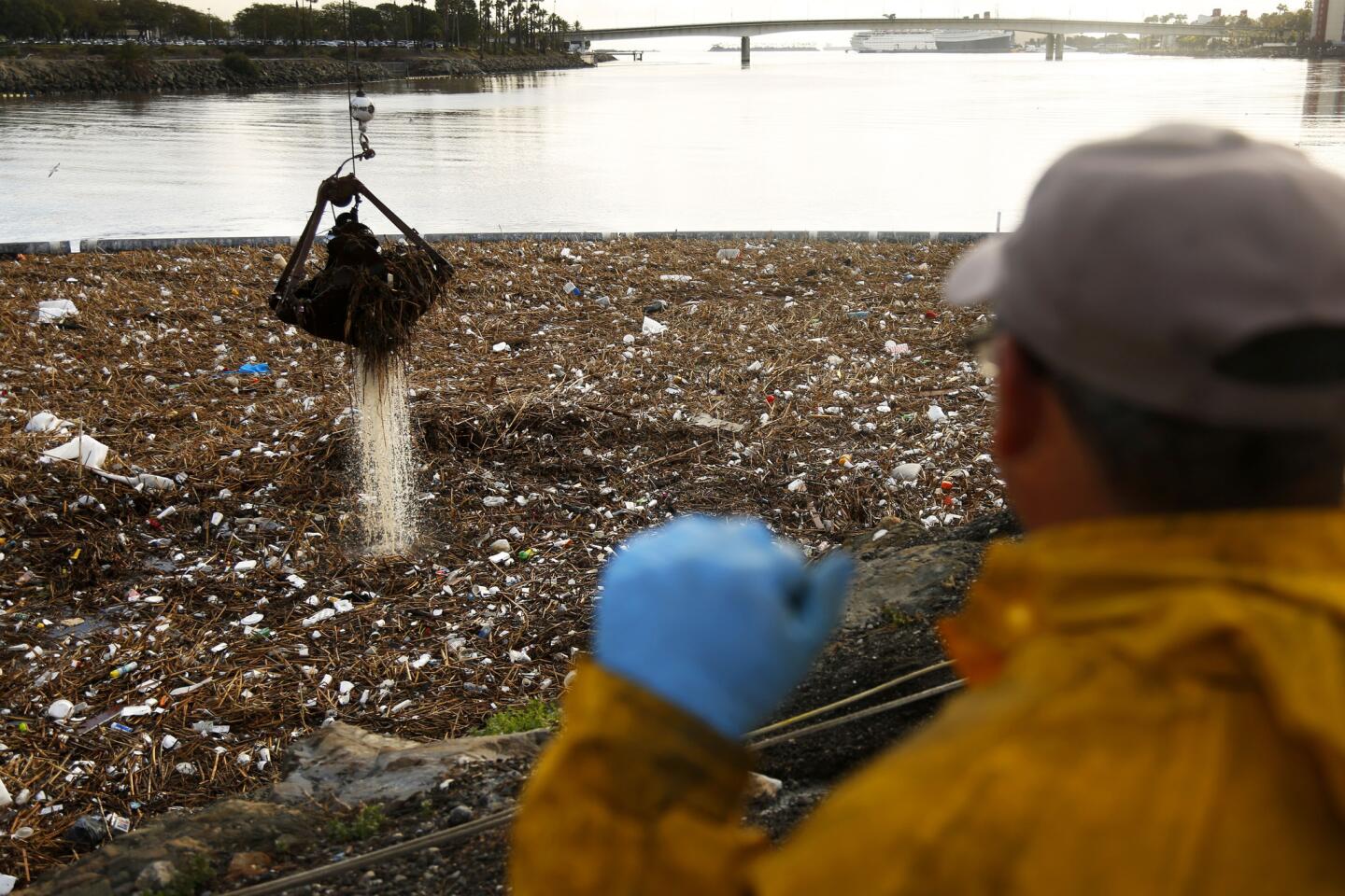
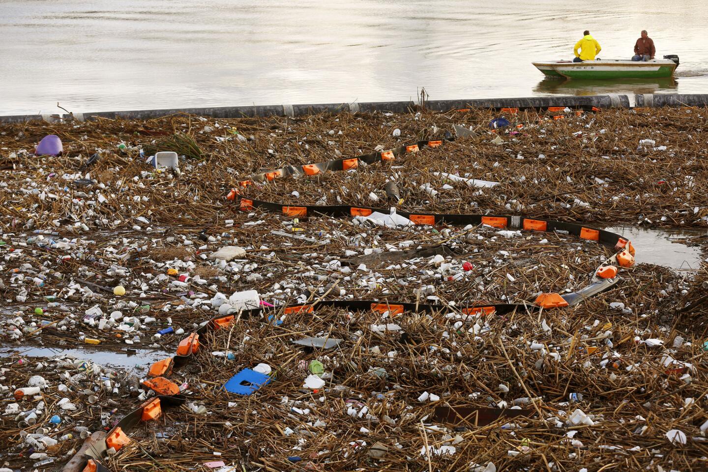
Looming rains could turn L.A.’s roadside trash into a hazard