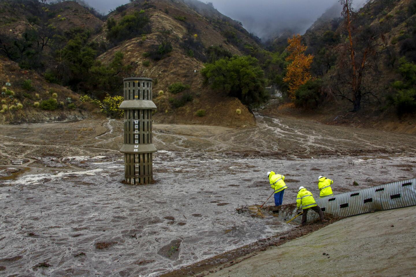
At the end of Wood Avenue in South Gate, unseen behind its levee, the ephemeral giant strained in its cage.
The raw power drew Rita Adams for the first time in her 40 years of living in the neighborhood. She and her son walked under bare winter elms, past tidy postwar homes with American flags flapping in the rain, up the sandy embankment of an old Union Pacific track, to the top of the concrete channel.
She lit a cigarette and shook her head. “Wow.”
The Los Angeles River had awakened.
The sheer breadth and speed of the water was disorienting, enough to make you lose your balance glancing back to solid land.
The river at its peak can move 146,000 cubic feet of water every second. At its normal rate, the Colorado River, sculptor of the Grand Canyon, doesn’t do a quarter of that.
-------------
For the record
Jan. 7, 9:41 a.m.: An earlier version of this post implied a comparison between peak water flows of the Los Angeles and Colorado rivers. The comparison was between the peak flow of the L.A. River and the normal flow of the Colorado. It also misidentified Los Angeles’ Spring Street bridge as the Second Street Bridge.
Advertisement
-------------
Adams stared at the choppy sheet of brown water as it exploded against the piers of the railroad crossing. Others came to watch, too, much as people gather at the shore to watch a violent sea.
“It’s fabulous,” Adams said. She studied the trash and logs and arundo cane hurtling south to Long Beach.
She said some of her neighbors come here when it’s dry to walk their dogs, but she’d never bothered to check it out.
Like most residents of the Los Angeles Basin and San Fernando Valley, she rarely gives the river in her midst much thought. Cities put their backs to it. For most of the year it withers to an algal trickle of treated sewage in the low-flow slot at the center of the channel.
Scrap yards, steel plants, rail yards, freeway embankments and homeless camps line much of it, although a decades-long effort has slowly adorned it with more parks and natural space, and there are grand plans for more.
Advertisement
But El Niño storms like this week’s bring back a glimpse of the river’s historic moodiness and might: the volatile beauty that once murmured through the arroyo willows, then reared up and wiped out the original pueblo that took its name, that switched course by 30 miles one year, that killed 45 people in flooding in 1938, that the city, county and federal governments thereafter spent two decades and hundreds of millions of dollars to tame.
::
1/93
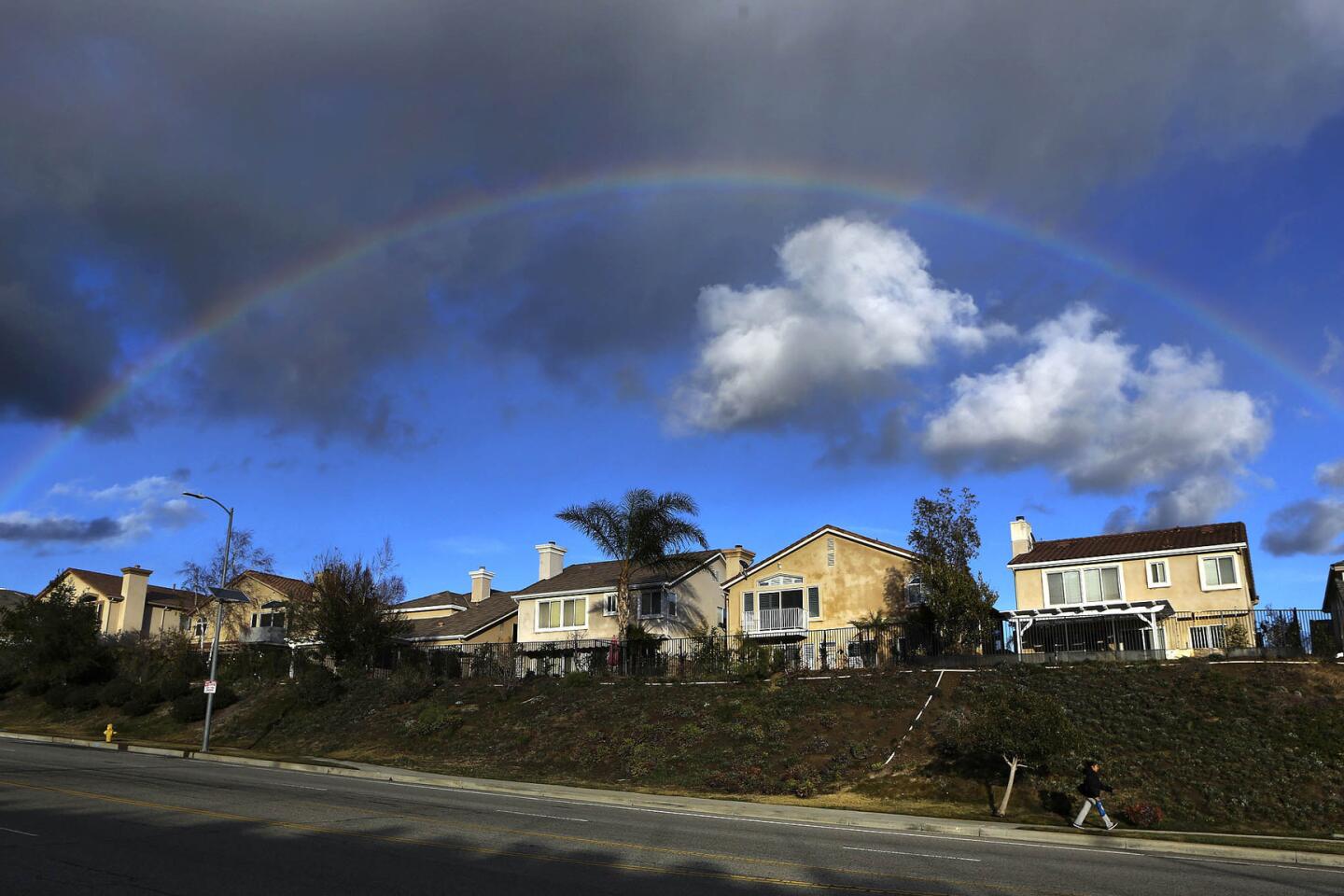
A rainbow forms over homes on Porter Ranch Drive in Porter Ranch on Jan. 7, 2016.
(Mel Melcon / Los Angeles Times)
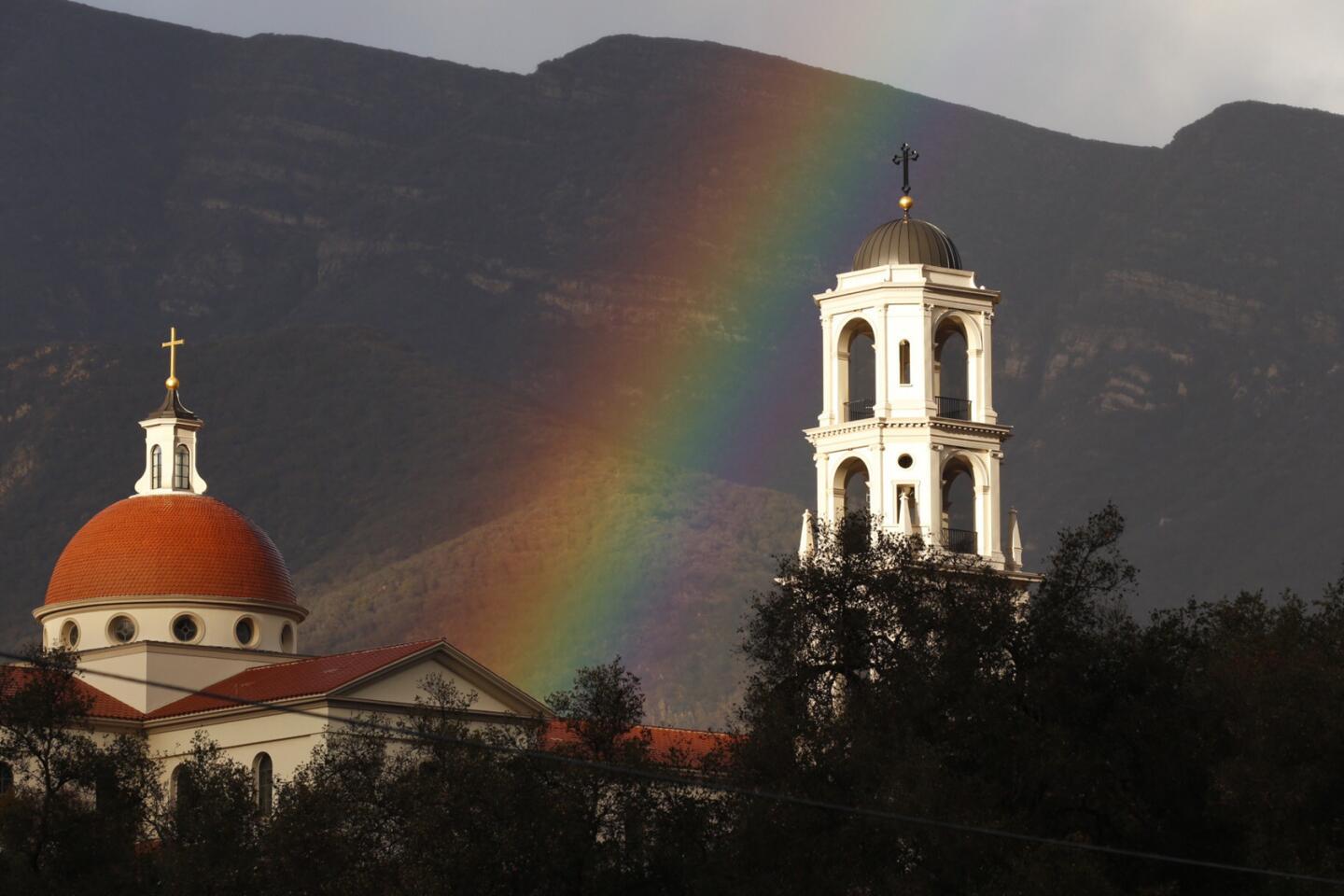
2/93
A rainbow fills the sky above the Thomas Aquinas College in the Topatopa Mountains near Santa Paula Thursday afternoon.
(Al Seib / Los Angeles Times)
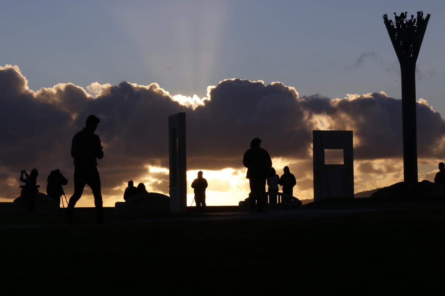
3/93
People enjoy the sunset at Hill Top Park in Signal Hill.
(Glenn Koenig / Los Angeles Times )
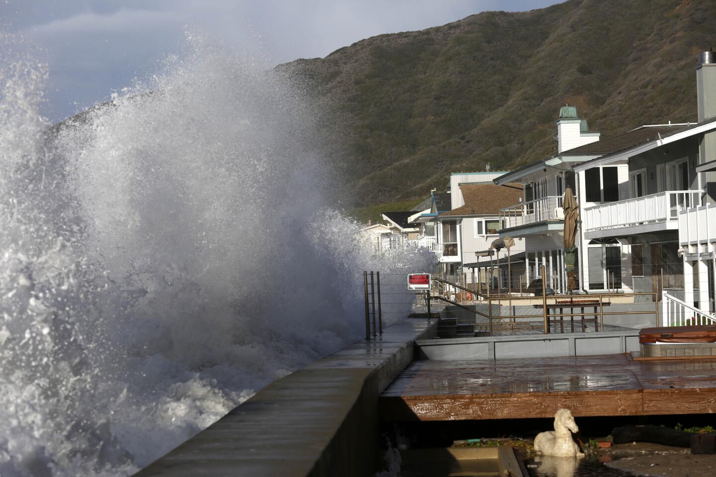
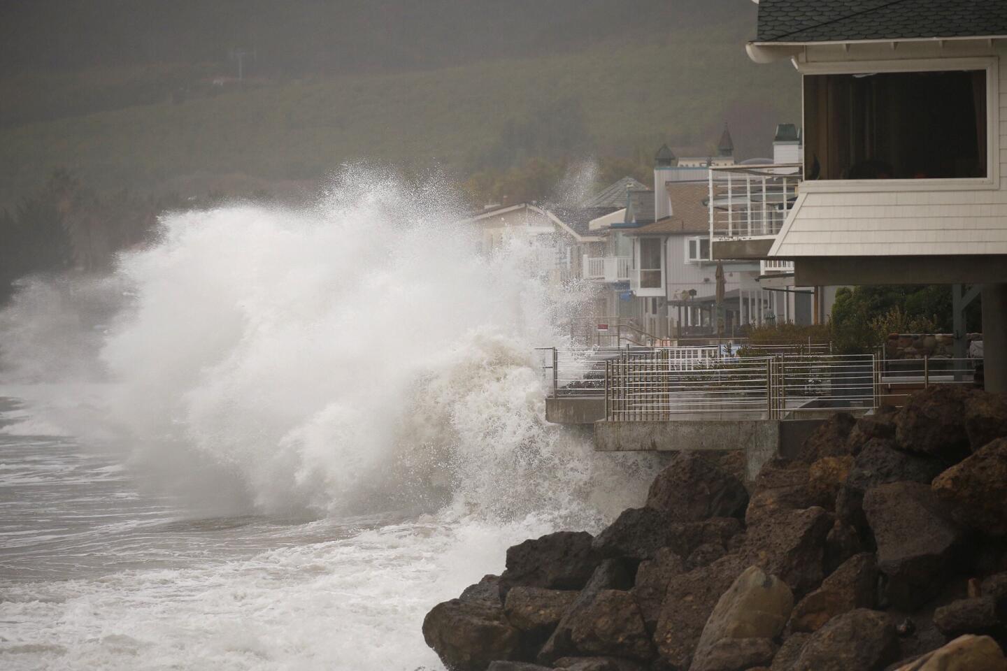
4/93
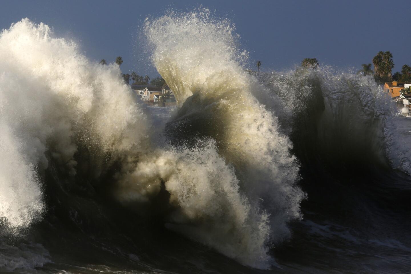
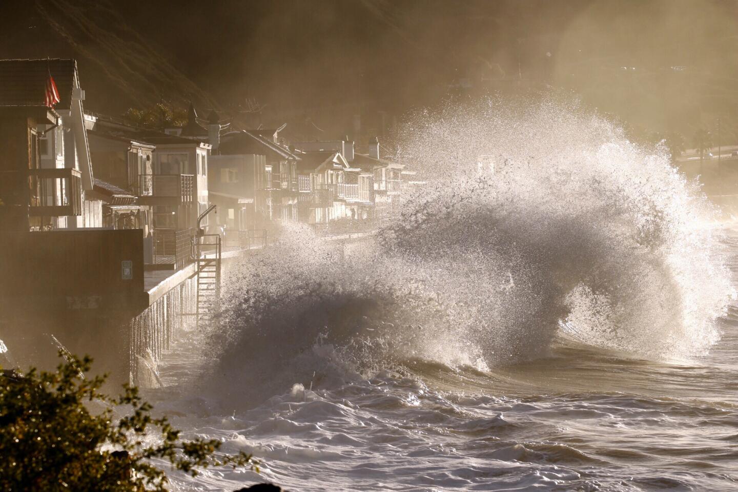
A big northwest swell combined with a high tide on Thursday morning along the southern California coast resulting in seaside communities being battered. Faria Beach in Ventura County was one of the areas especially hard hit.
(Michael Robinson Chávez / Los Angeles Times)
5/93
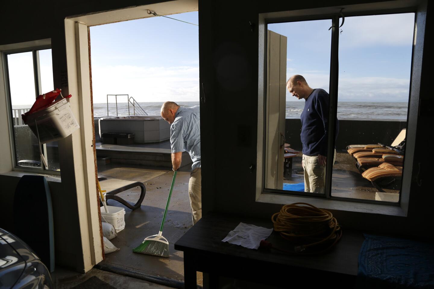
Carlos Pereira, left, tries to clean up an oceanfront deck that was pummeled through the night by big waves.
(Michael Robinson Chavez / Los Angeles Times)
6/93
A big northwest swell combined with a high tide on Thursday morning along the southern California coast resulting in seaside communities being battered. Faria Beach in Ventura County was one of the areas especially hard hit.
(Michael Robinson Chávez / Los Angeles Times)
7/93
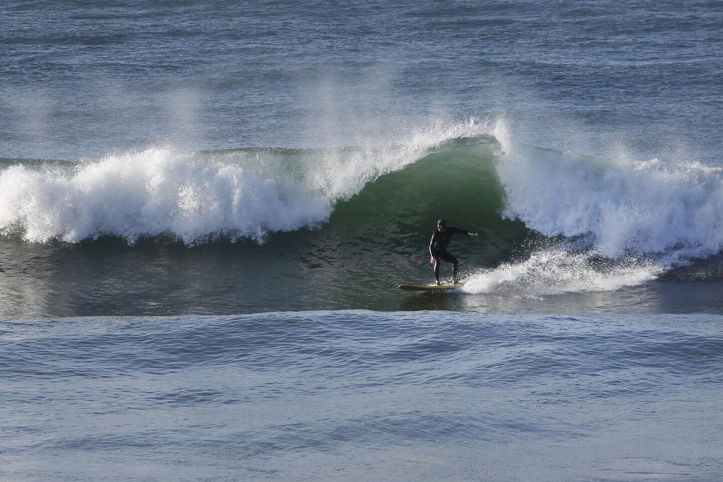
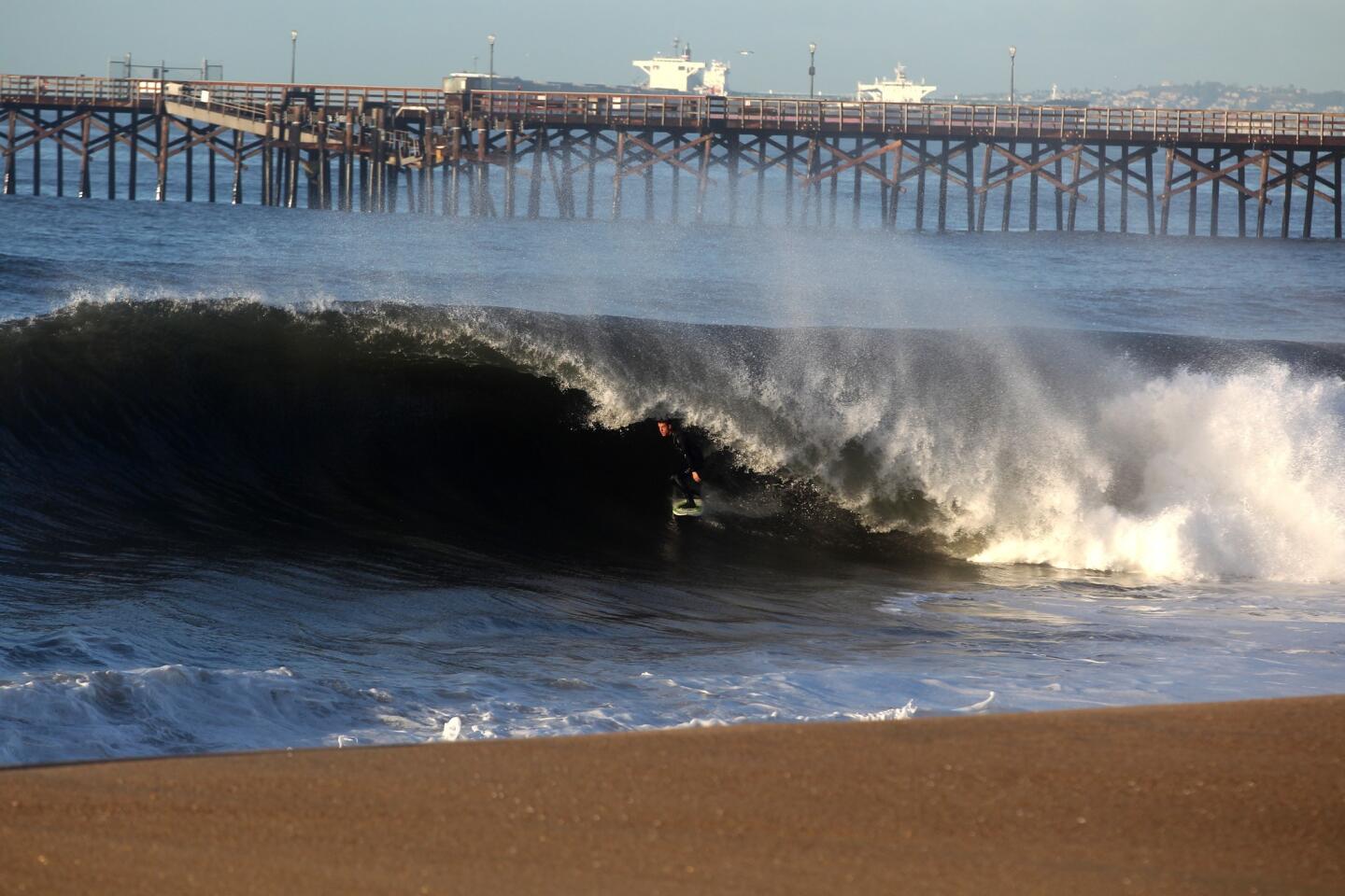
A surfer catches a wave at Sunset Beach in the Pacific Palisades.
(Katie Falkenberg / Los Angeles Times)
8/93
A passing storm, as seen from the Kenneth Hahn State Recreation Area, makes its way over Los Angeles on Thursday.
(Genaro Molina / Los Angeles Times)
9/93
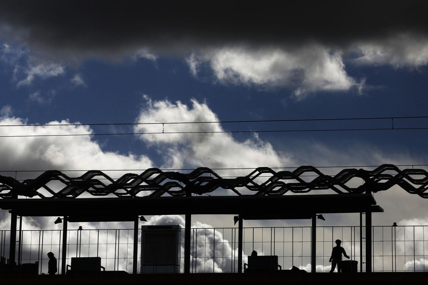
A passing storm provides the backdrop for passengers waiting for a train at the La Cienega/Jefferson station on the Metro Expo Line in Culver City on Thursday.
(Genaro Molina / Los Angeles Times)
10/93
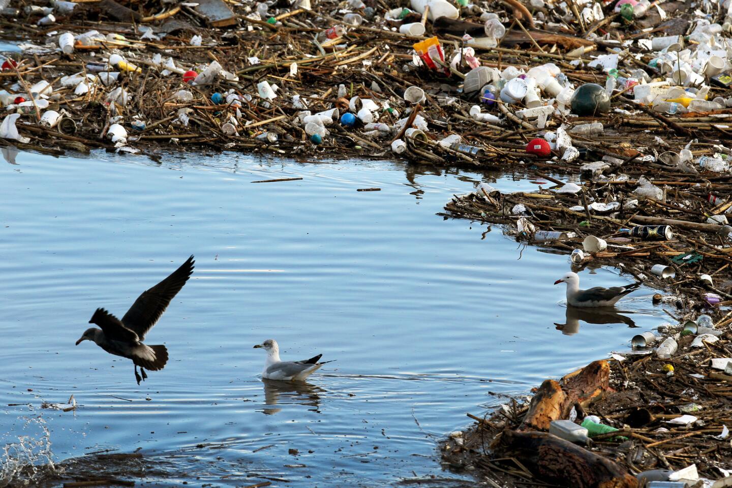
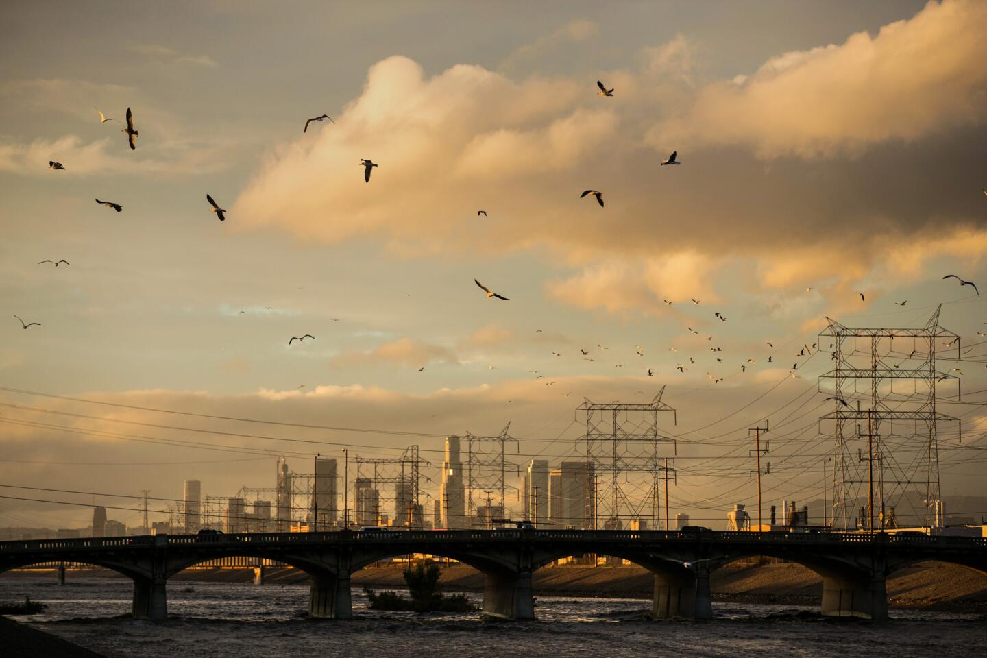
Birds flock to trash near the mouth of the Los Angeles River, a site where tons of trash and debris have piled up after two days of heavy rain from El Niño-generated storms.
(Rick Loomis / Los Angeles Times)
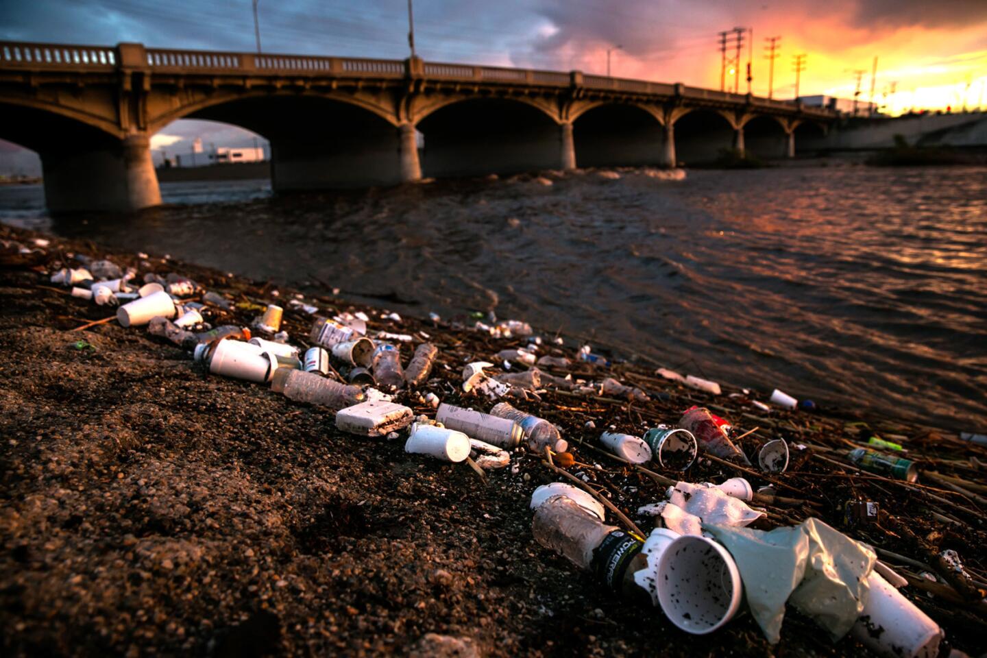
11/93
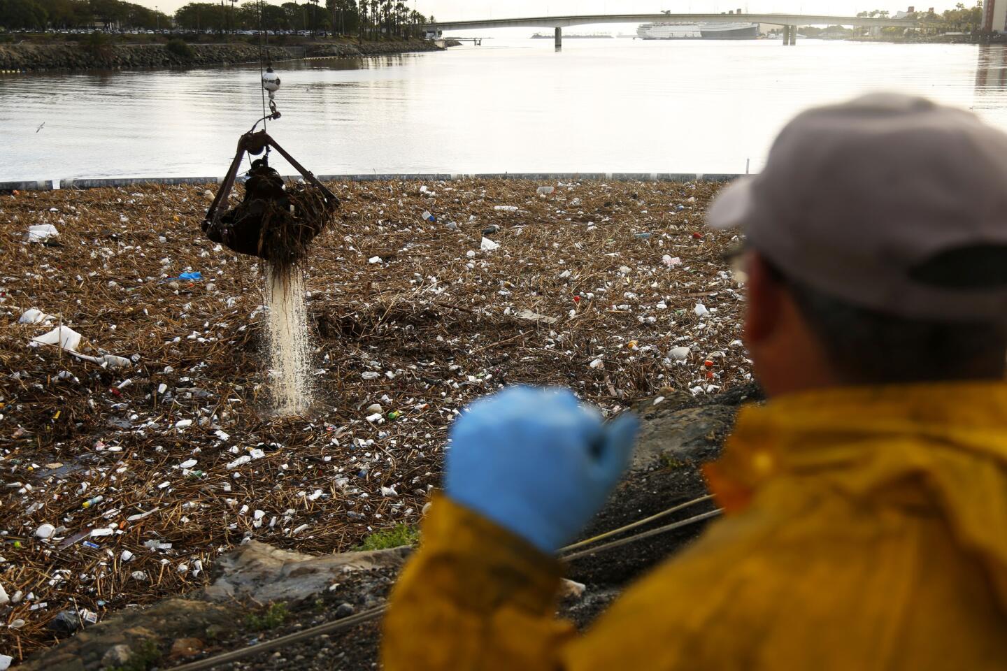
Bitelio Ramirez looks out Thursday over trash that has piled up near the mouth of the Los Angeles River after two days of heavy rain. A worker on the scene said two cranes were being used to lift out about 300 tons of trash.
(Rick Loomis / Los Angeles Times)
12/93
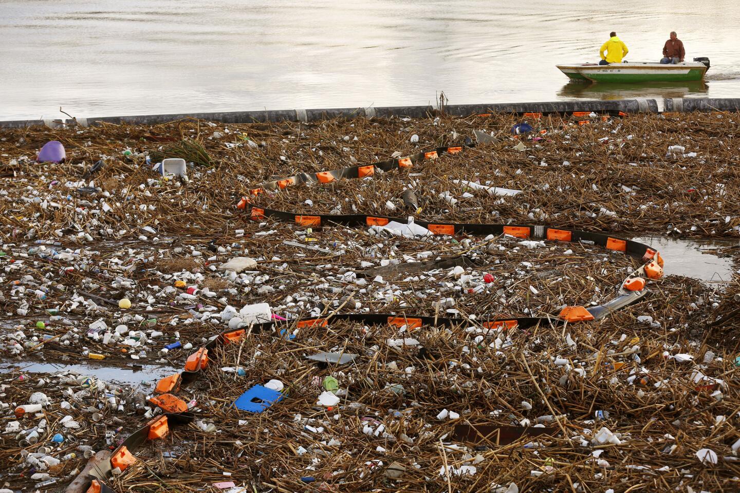
Trash floats up against a boom near the mouth of the Los Angles River on Thursday after two days of heavy rain.
(Rick Loomis / Los Angeles Times)
13/93
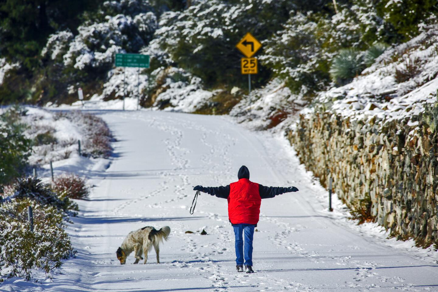
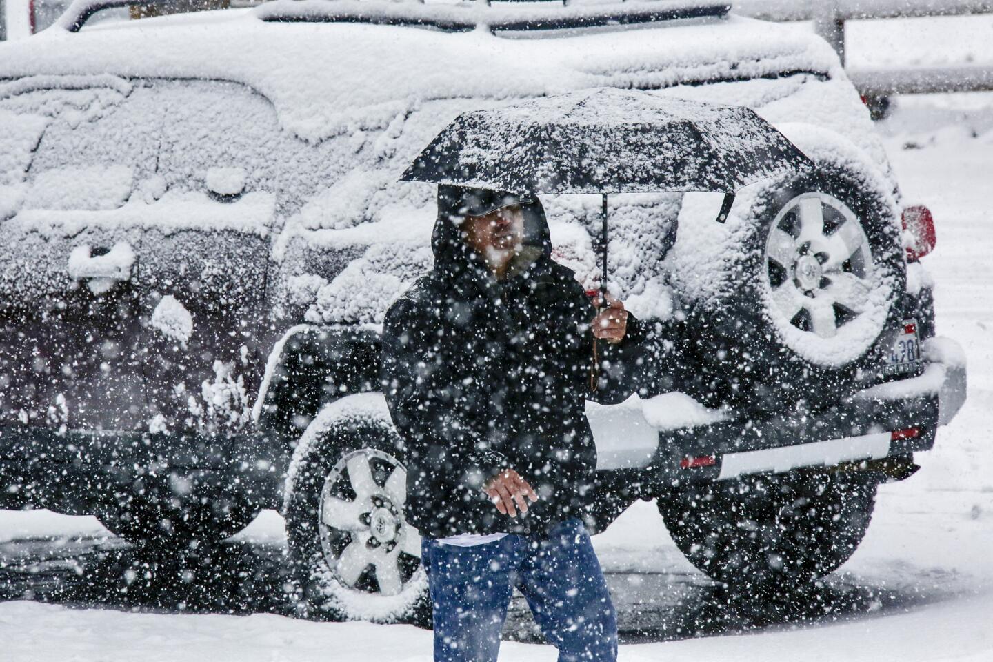
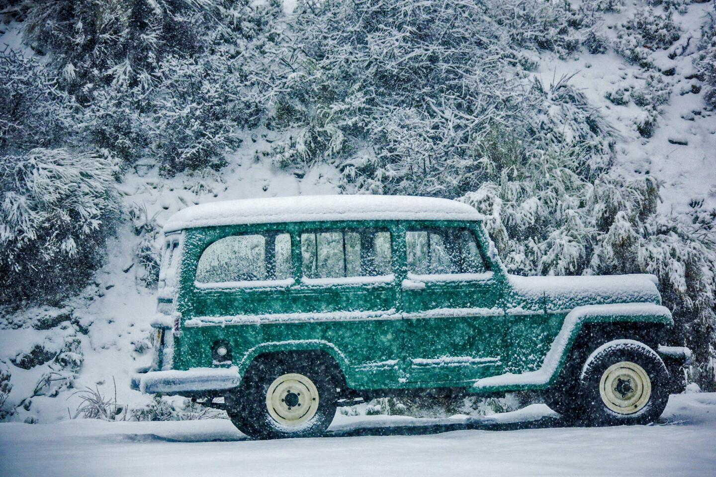
A woman with her dog goes for a morning walk on snow covered and closed to traffic Glendora Ridge Road in Mt. Baldy.
(Irfan Khan / Los Angeles Times)
14/93
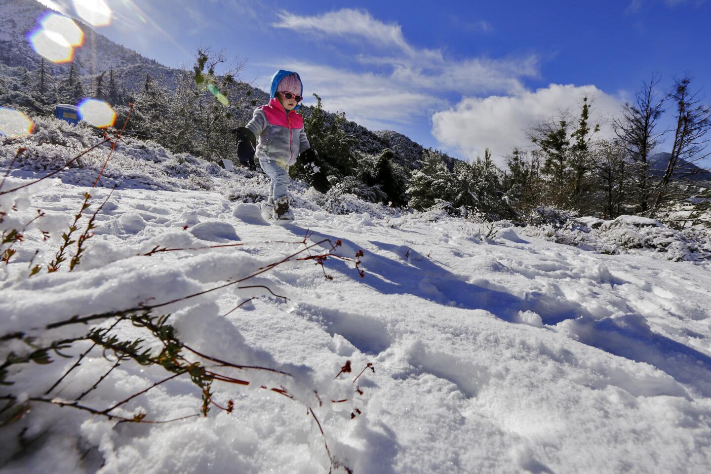
Leah Weischedel, 2, walks on freshly fallen snow on Thursday morning in Mt. Baldy.
(Irfan Khan / Los Angeles Times)
15/93
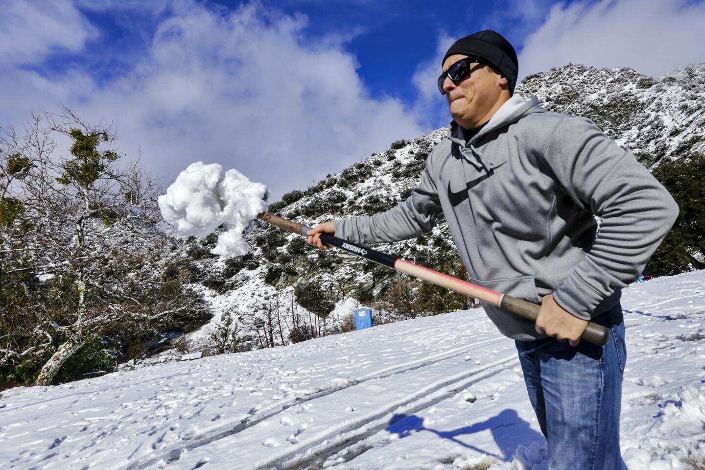
Mike Weischedel throws a shovel full of snow into his truck to take home to Upland Thursday morning in Mt. Baldy.
(Irfan Khan / Los Angeles Times)
16/93
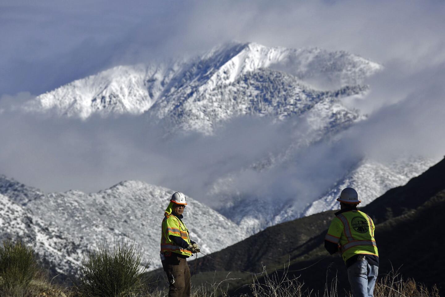
San Bernardino County surveyors work with a snow-covered Mount Baldy as a background on Thursday. (Irfan Khan / Los Angeles Times)
17/93
Forceful and beautiful waves crash into the sea walls of homes at Mondo’s Beach under the mountains of the recent Solimar fire at high tide sunrise west of Ventura Thursday morning.
(Al Seib / Los Angeles Times)
18/93
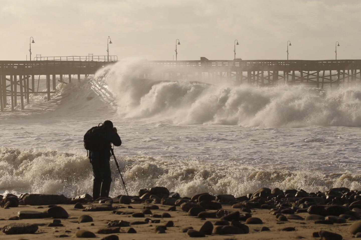
Photographer Dan Dolinh takes photos as the Ventura Pier is pounded by heavy surf Thursday morning.
(Al Seib / Los Angeles Times)
19/93
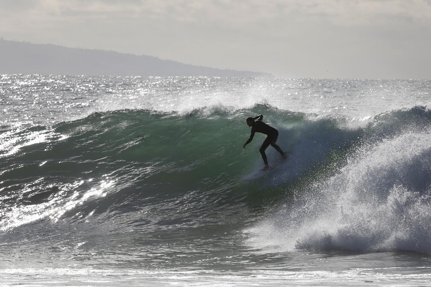
A surfer catches a wave at Topanga State Beach as El Nino storms brought high surf to area beaches.
(Katie Falkenberg / Los Angeles Times)
20/93
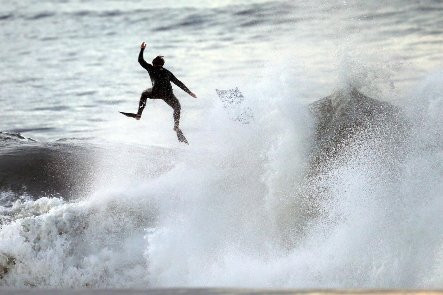
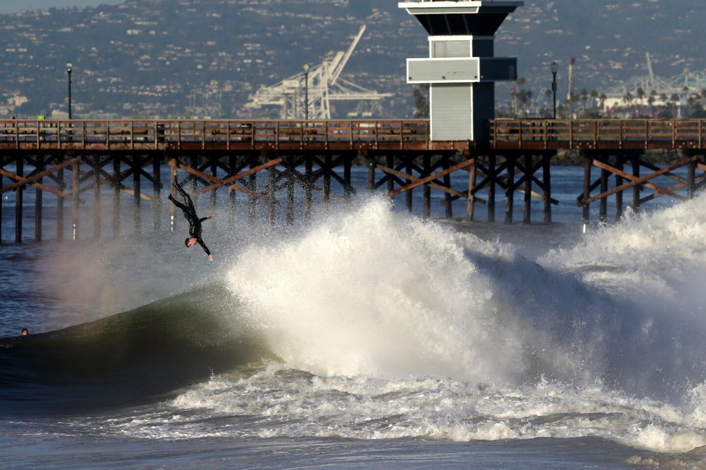
A body boarder is tossed from his board in heavy surf off the Seal Beach Pier Thursday morning.
(Allen J. Schaben / Los Angeles Times)
21/93
A surfer gets a tube ride off the Seal Beach Pier Thursday morning.
(Allen J. Schaben / Los Angeles Times)
22/93
A surfer is tossed from his board in heavy surf off the Seal Beach Pier Thursday morning.
(Allen J. Schaben / Los Angeles Times)
23/93
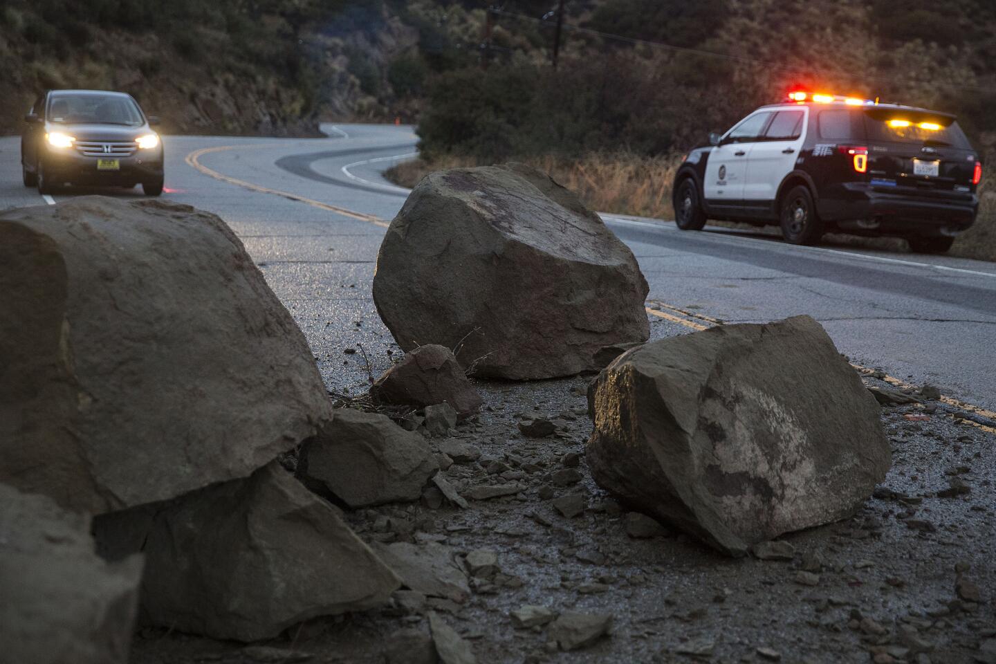
Large boulders block Santa Susanna Pass Rd. two miles west of Topanga Canyon after a rain-soaked hillside slid onto the roadway in Chatsworth.
(Brian van der Brug / Los Angeles Times)
24/93
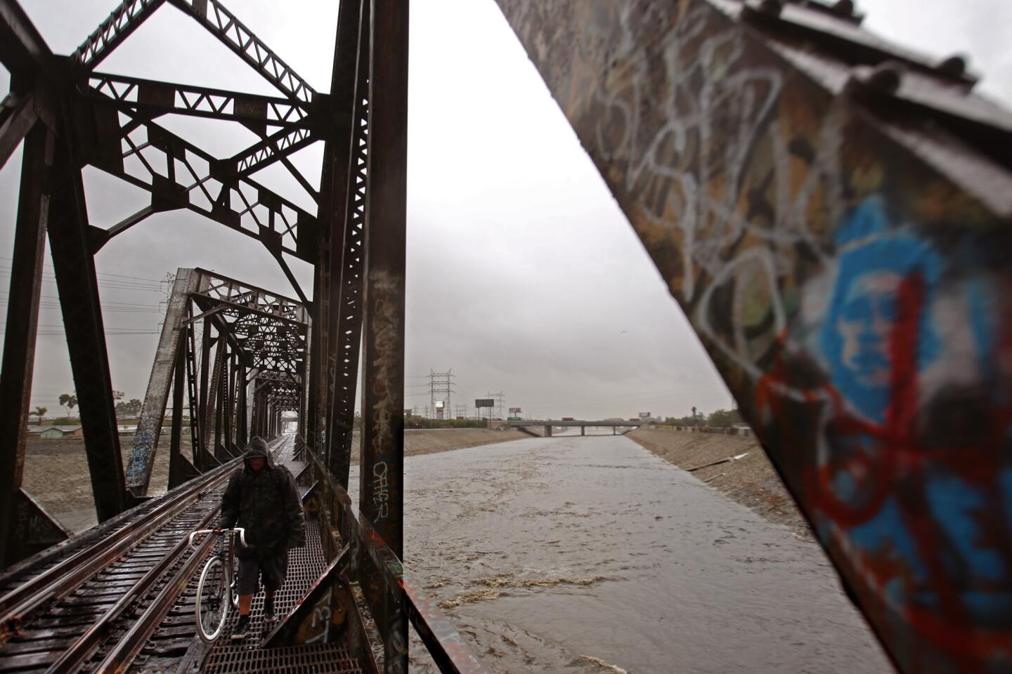
A man walks along an old Union Pacific Bridge as the Los Angeles River flows in South Gate.
(Genaro Molina / Los Angeles Times)
25/93
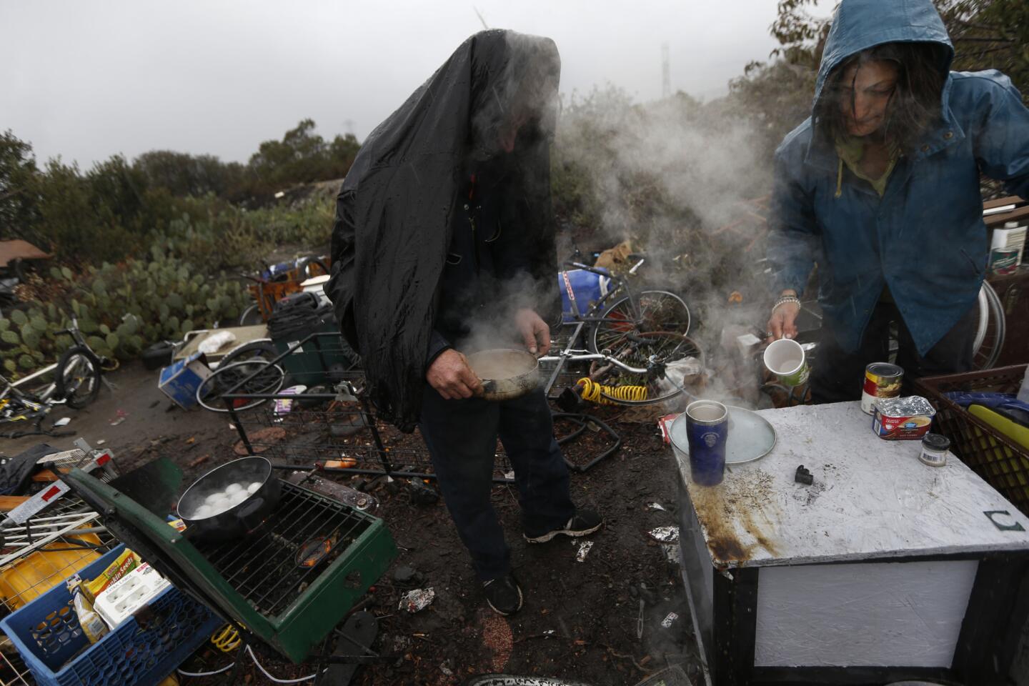
Heavy rain pours on Wayne Bearden and Laura Marin as they try to stay warm with a pot of coffee at their San Gabriel River adjacent encampment during the second major El Nino storm.
(Robert Gauthier / Los Angeles Times)
26/93
Debris gathers along Silverado Canyon Road in Orange County after another El Niño storm brought heavy rains to the area Wednesday.
(Rick Loomis / Los Angeles Times)
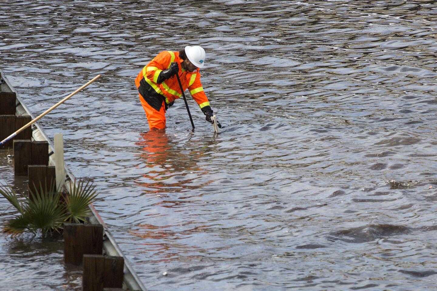
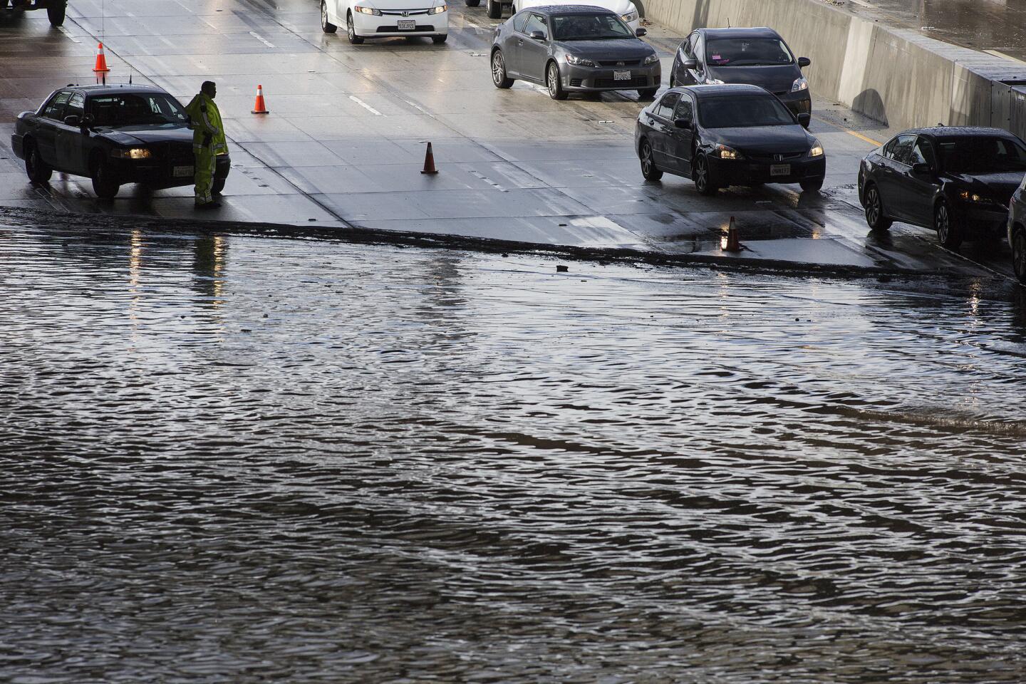
27/93
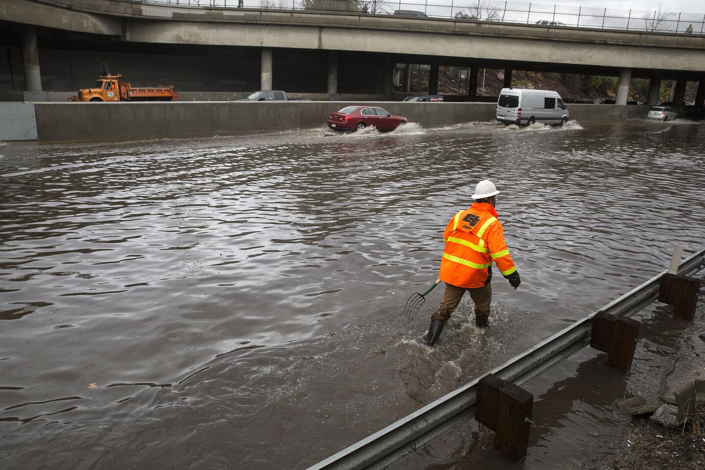
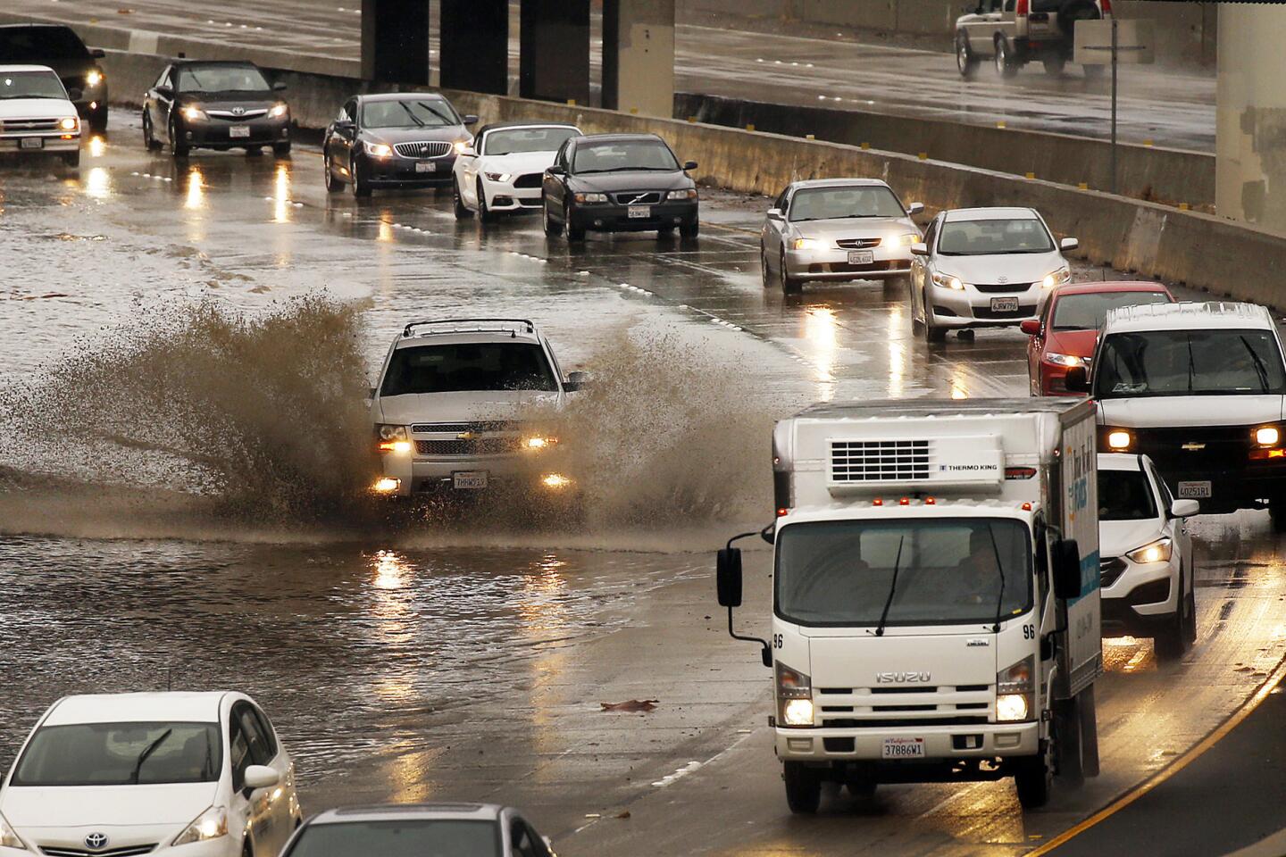
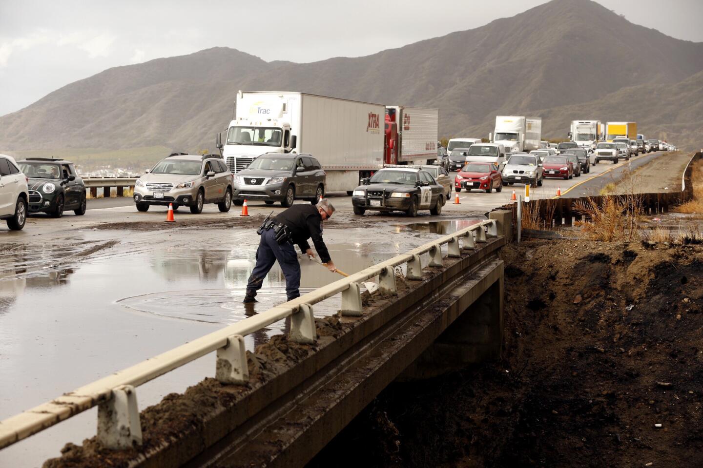
A Caltrans worker toils to clear drains on a flooded Interstate 5 in Sun Valley, Calif.
(Brian van der Brug / Los Angeles Times)
28/93
CHP officers limit traffic on a flooded Interstate 5 to one lane in each direction as Caltrans workers work to clear drains in Sun Valley, Calif.
(Brian van der Brug / Los Angeles Times)
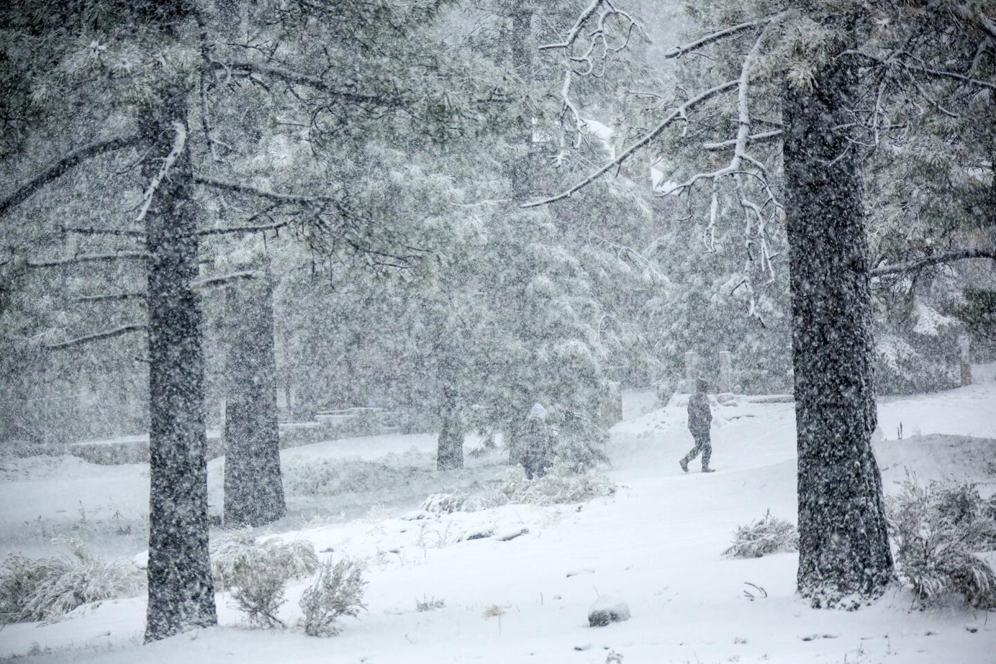
29/93
Heavy snow fall in Wrightwood.
(Irfan Khan / Los Angeles Times)
30/93
Homes at Mondo’s Beach between the Solimar and Faria Beach communities west of Ventura have their sea walls tested Wednesday morning, as the third storm this season’s El Nino moves in with more rain and heavy surf.
(Al Seib / Los Angeles Times)
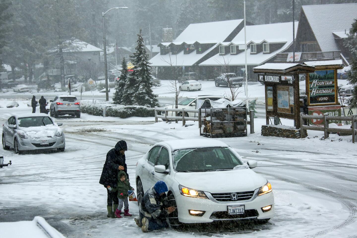
31/93
Due to heavy snow fall people visiting Wrightwood are required put on snow chains on their vehicles.
(Irfan Khan / Los Angeles Times)
32/93
Visibility is down due to heavy snow fall in Wrightwood.
(Irfan Khan / Los Angeles Times)
33/93
Heavy snow fall blankets an old truck in Wrightwood.
(Irfan Khan / Los Angeles Times)
34/93
A Caltrans worker toils to clear drains on a flooded Interstate 5 in Sun Valley, Calif.
(Brian van der Brug / Los Angeles Times)
35/93
CHP officers limit traffic on a flooded Interstate 5 to one lane in each direction as Caltrans workers work to clear drains in Sun Valley, Calif.
(Brian van der Brug / Los Angeles Times)
36/93
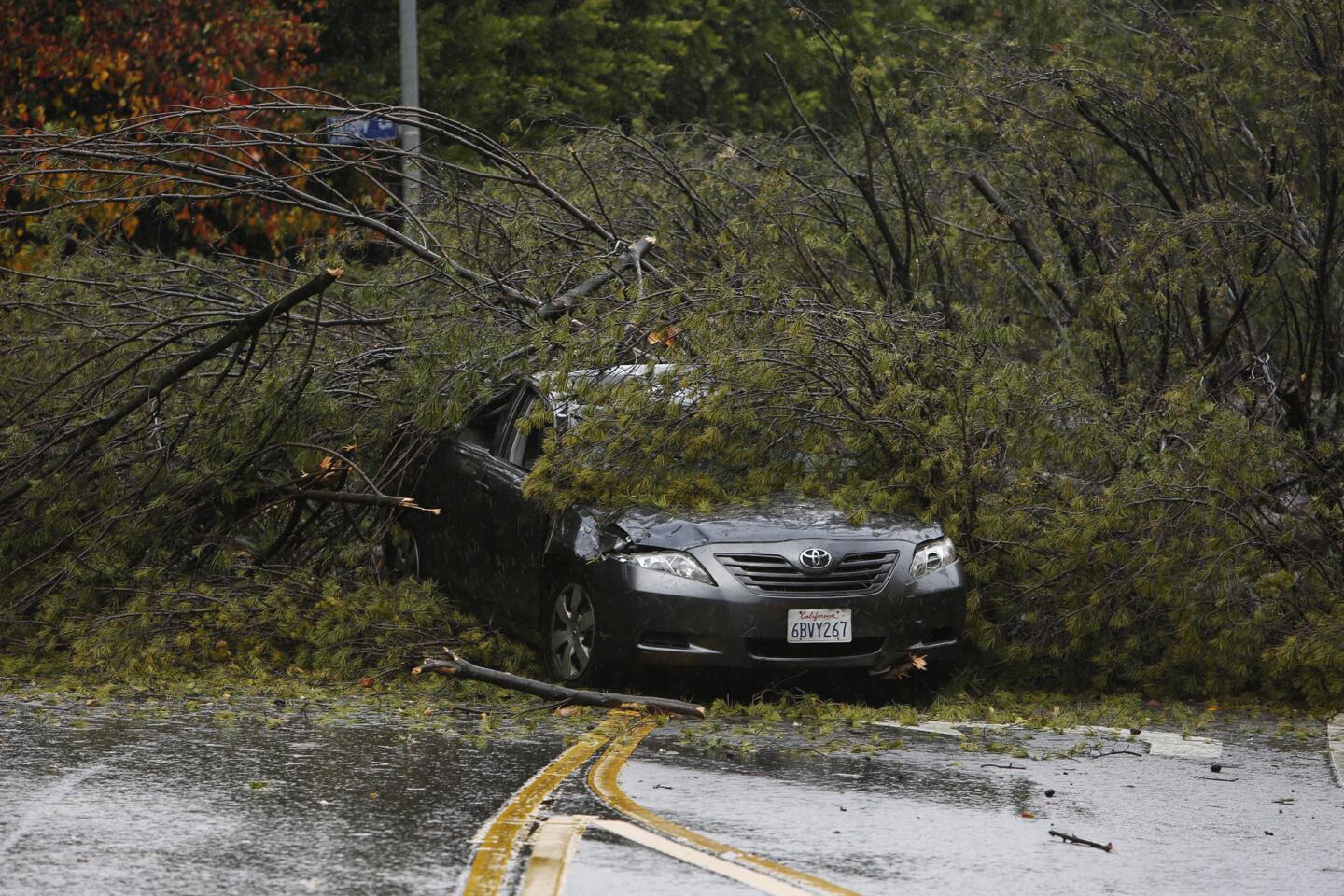
A tree fell on a car on Beverly Glen Blvd. at Windtree Dr. in the Hollywood Hills.
(Katie Falkenberg / Los Angeles Times)
37/93
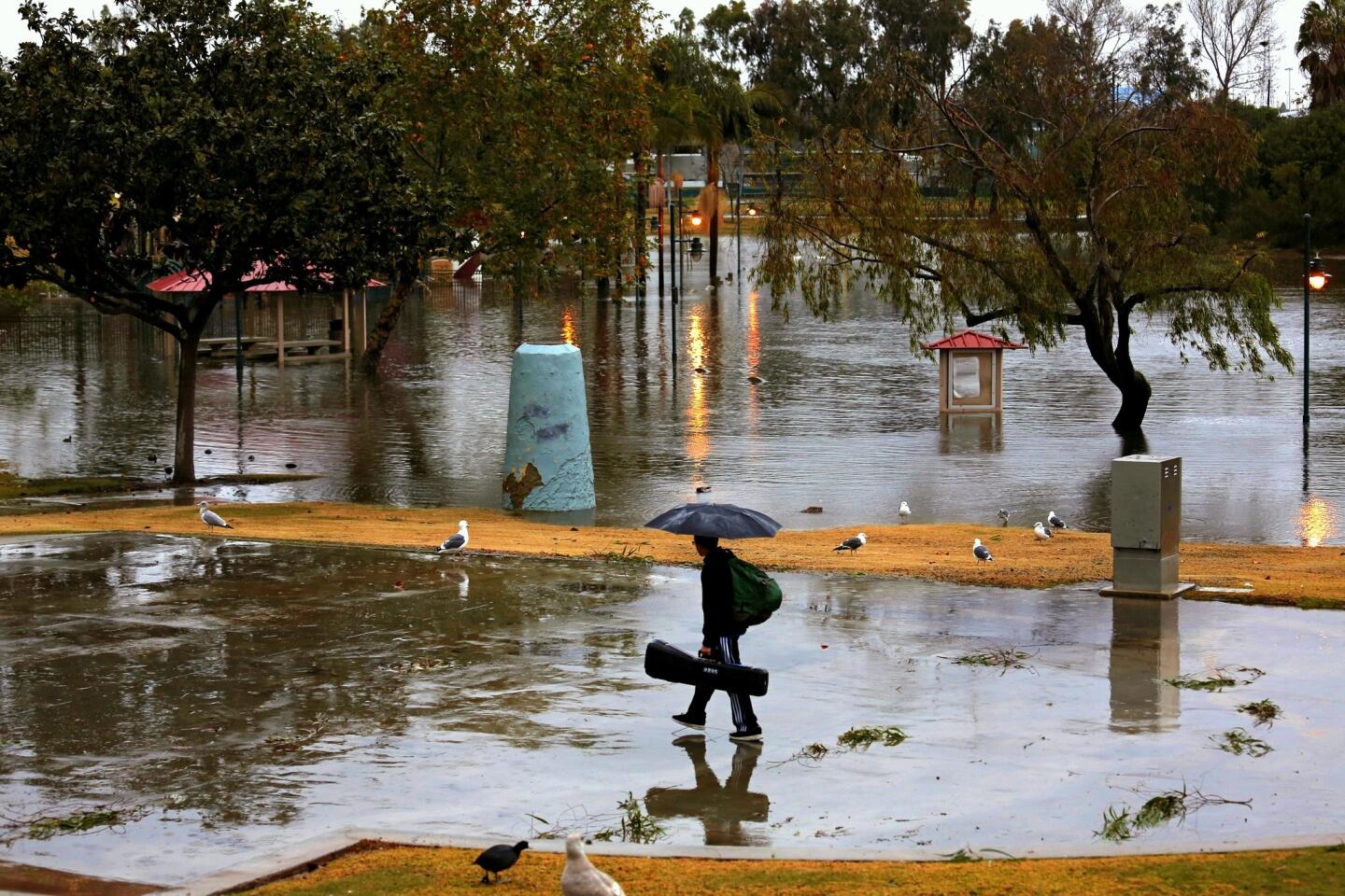
William McPhie, 12, of Manhattan Beach, walks home through a flooded Poliwog Park.
(Jay L. Clendenin / Los Angeles Times)
38/93
Vehicles navigate a flooded 101 Freeway at California Street in downtown Ventura after heavy rains Wednesday.
(Al Seib / Los Angeles Times)
39/93
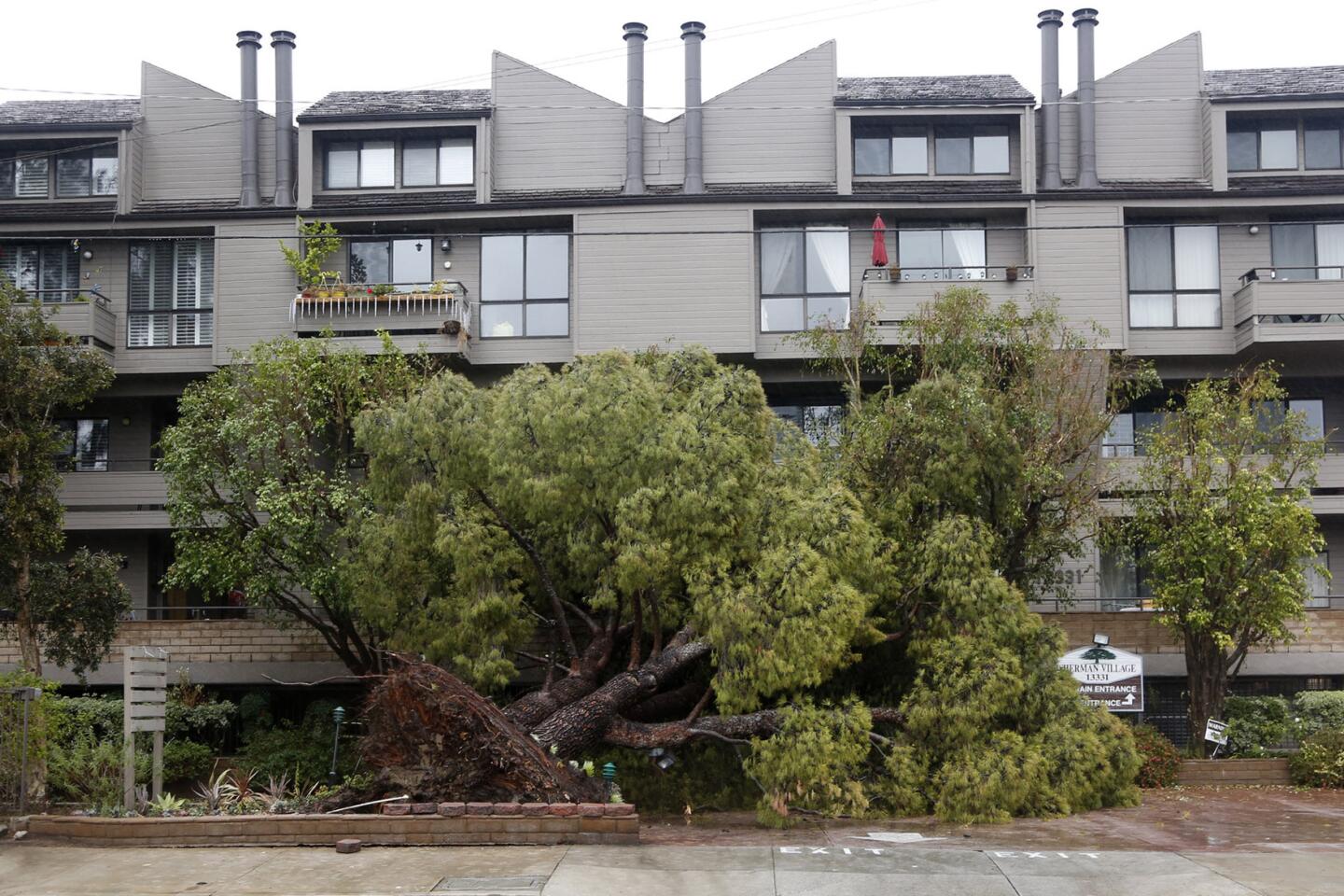
A large tree fell in front of the Sherman Village complex on Moorpark Street in Sherman Oaks.
(Katie Falkenberg / Los Angeles Times)
40/93
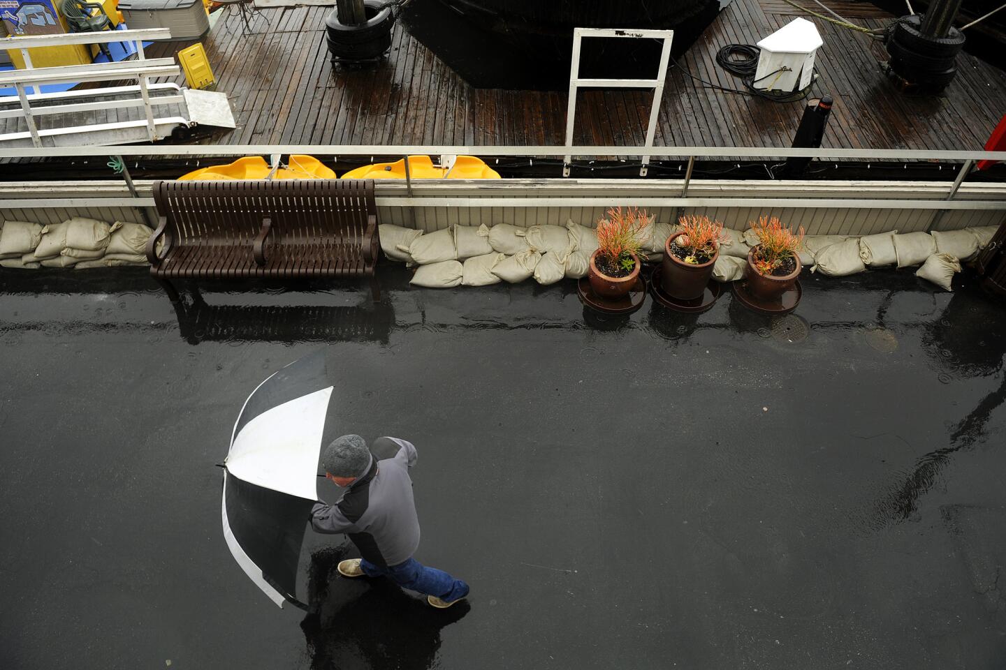
A man points his umbrella against the wind at King Harbour in Redondo Beach.
(Christina House / For The Times)
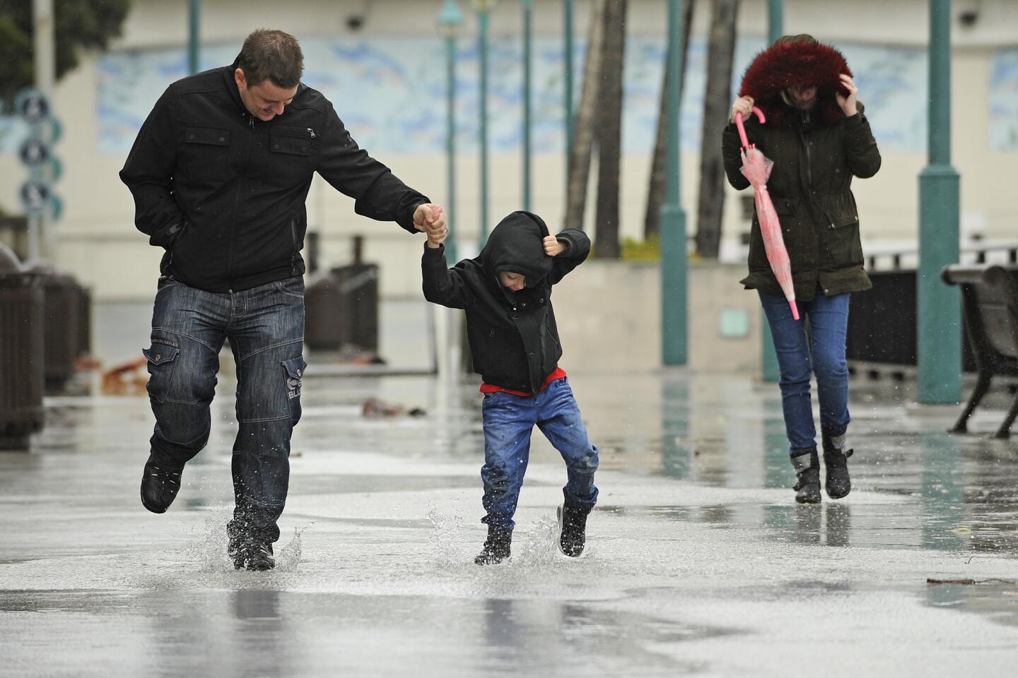
41/93
Scott Hesford-Hensler, left, plays in the rain with his son Jayden, 5, and wife Danielle, right, at King Harbour in Redondo Beach.
(Christina House / For The Times)
42/93
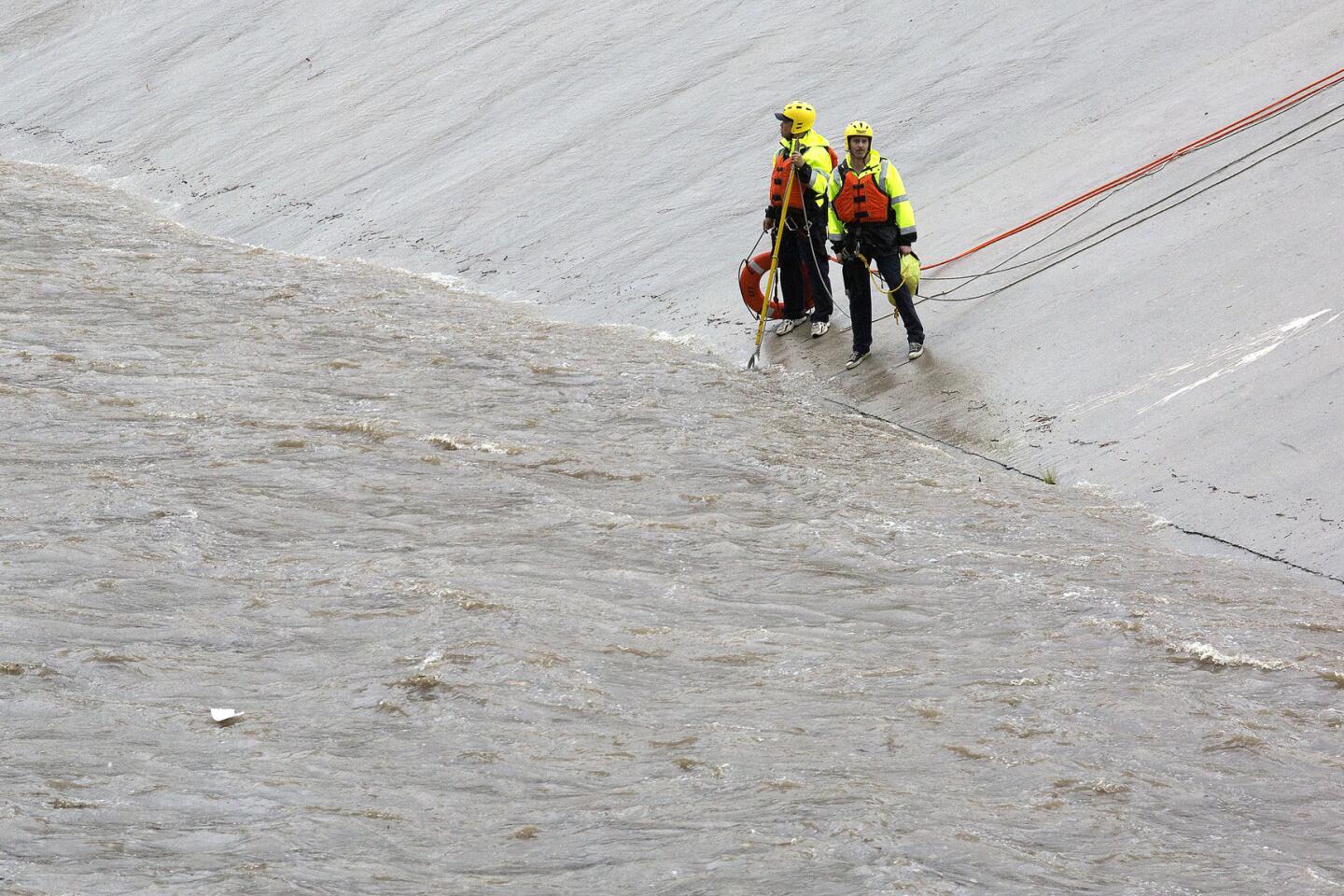
Los Angeles Fire Department swift water rescue personnel deploy along the LA River after a report of a child in the water in Winnetka, Calif.
(Brian van der Brug / Los Angeles Times)
43/93
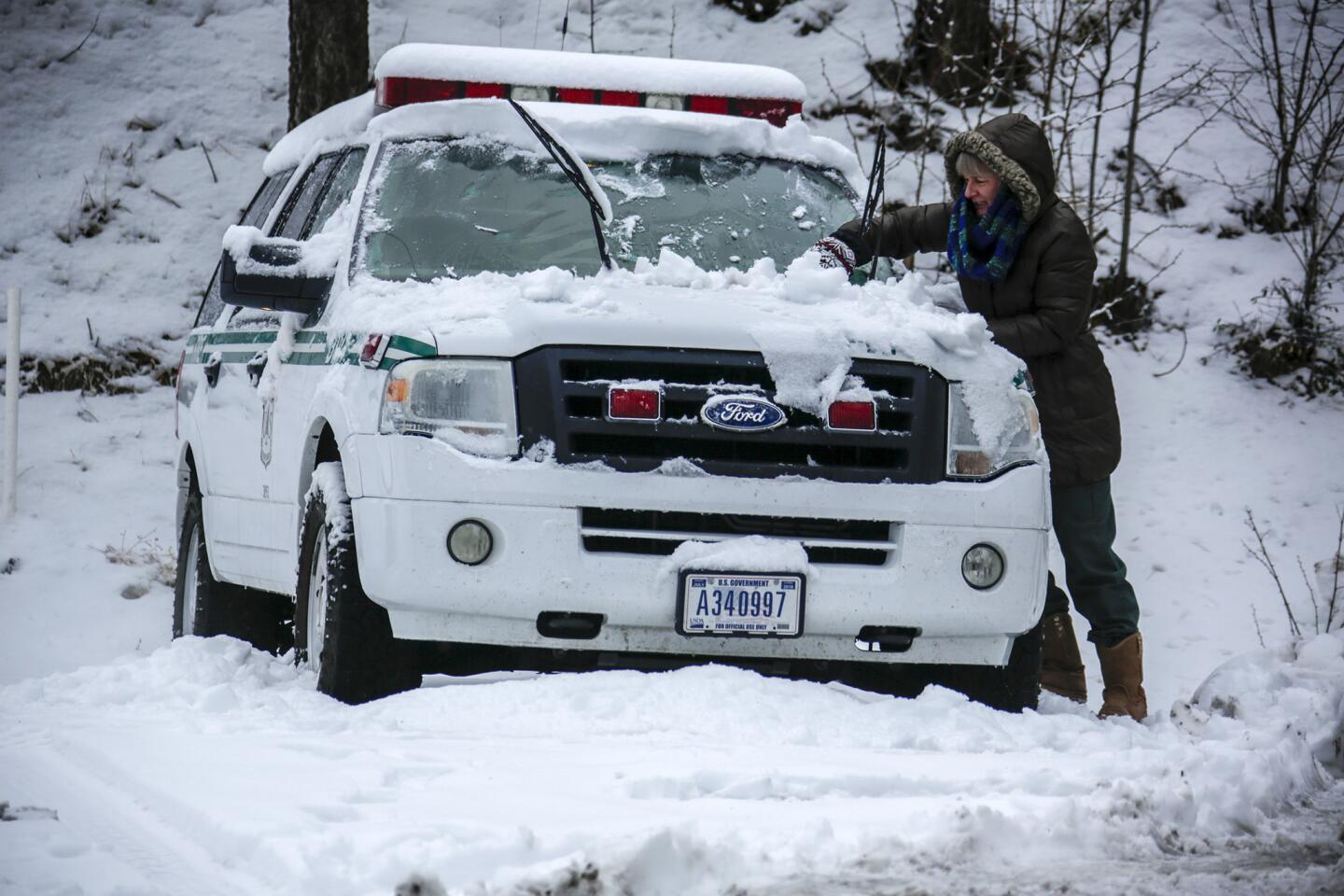
Diane Travis of Angeles Forest service removes snow from her vehicle above Wrightwood at Mountain High.
(Irfan Khan / Los Angeles Times)
44/93
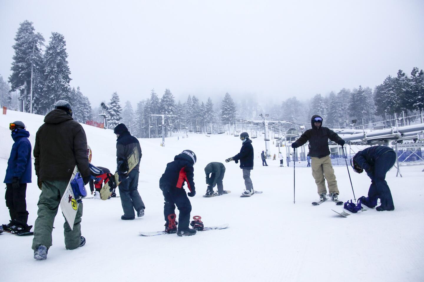
Snow boarders and skiers take advantage of fresh snow as they wait for Mountain High West to open on Wednesday morning.
(Irfan Khan / Los Angeles Times)
45/93
Birds soar above the Los Angeles River in Vernon after a rainstorm.
(Marcus Yam / Los Angeles Times)
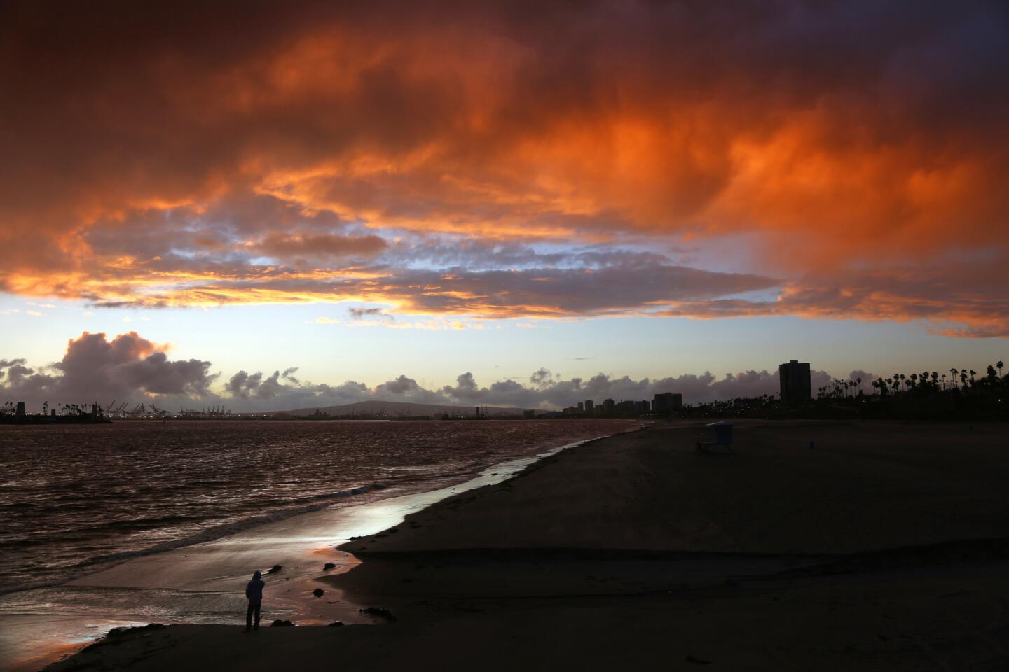
46/93
A man watches a memorable sunset that ended a mostly rainy day in the Los Angeles area as the first big storm of El Nino rolled through the area.
(Rick Loomis / Los Angeles Times)
47/93
Azusa residents pause to take photos of the sunset minutes after a storm front moved past Sierra Madre Ave.
(Robert Gauthier / Los Angeles Times)
48/93
Trash collects on the banks of the Los Angeles River after a heavy rainstorm passed through the area, raising the water levels in the river in Vernon.
(Marcus Yam / Los Angeles Times)
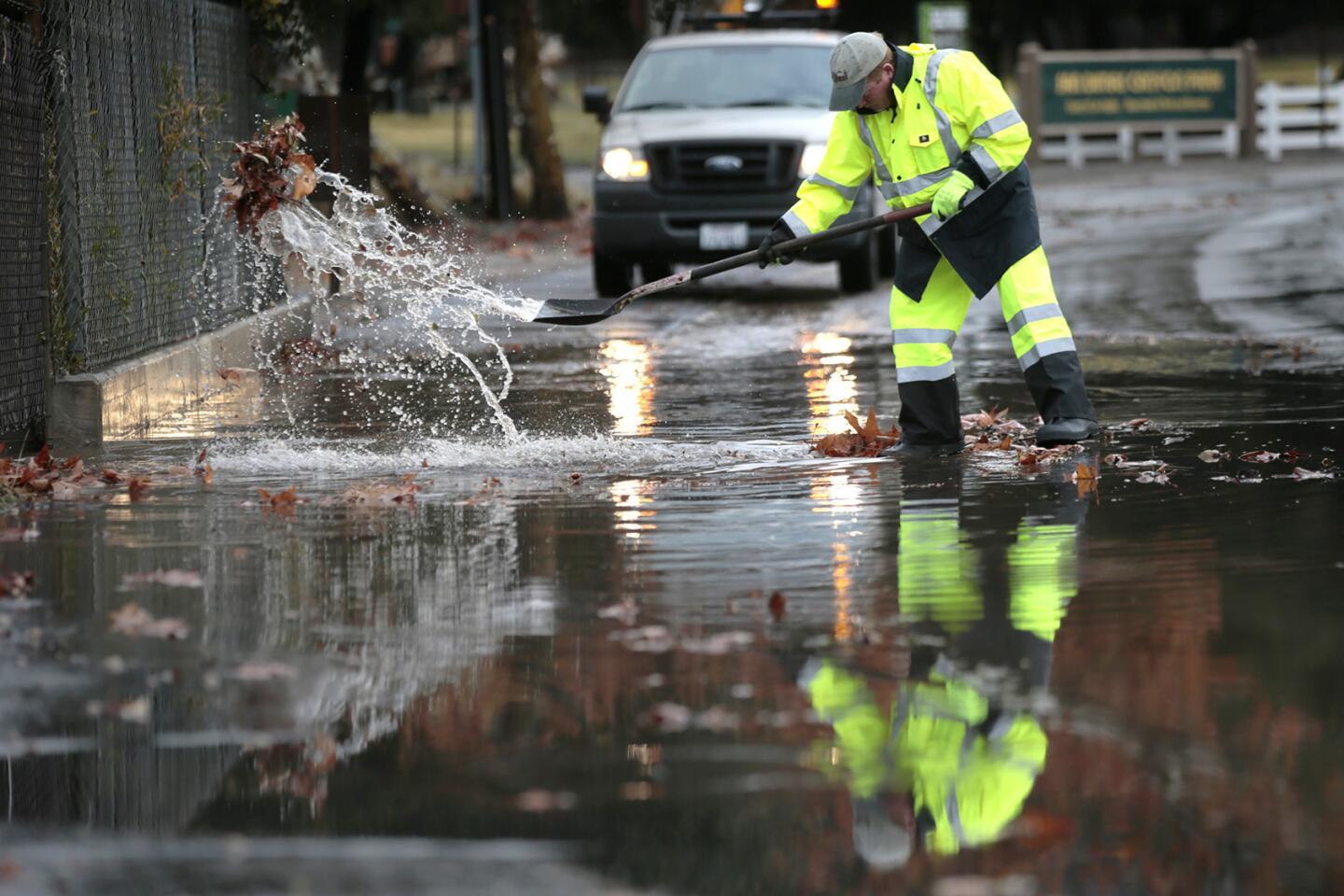
49/93
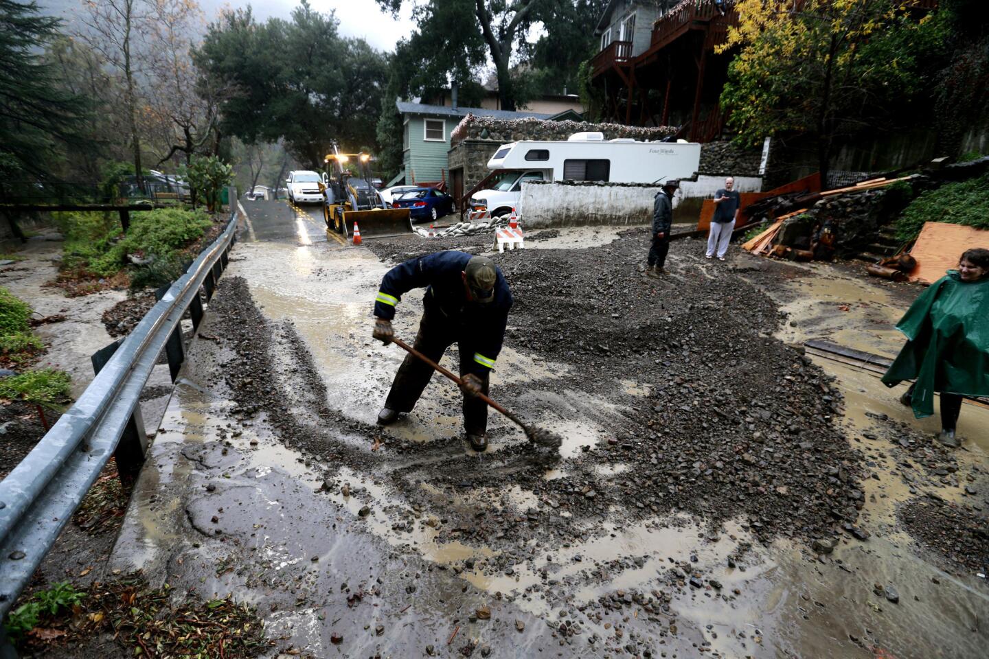
San Dimas Public Works Supervisor Terry Gregory cleears a clogged drain from North San Dimas Canyon Road as heavy rains cause clogged drains and mud flows in San Dimas, Glendora and Azusa.
(Robert Gauthier / Los Angeles Times)
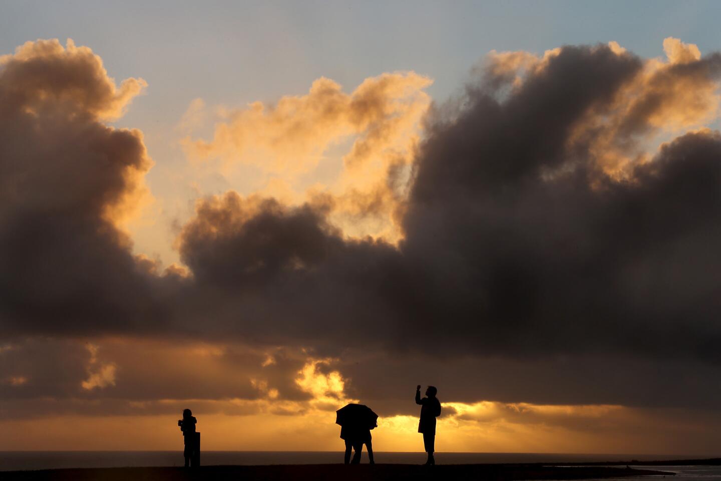
50/93
Visitors to Angels Gate Park in San Pedro are framed between the sea and sun-tinged clouds as the first storm of El Nino blows ashore.
(Luis Sinco / Los Angeles Times)
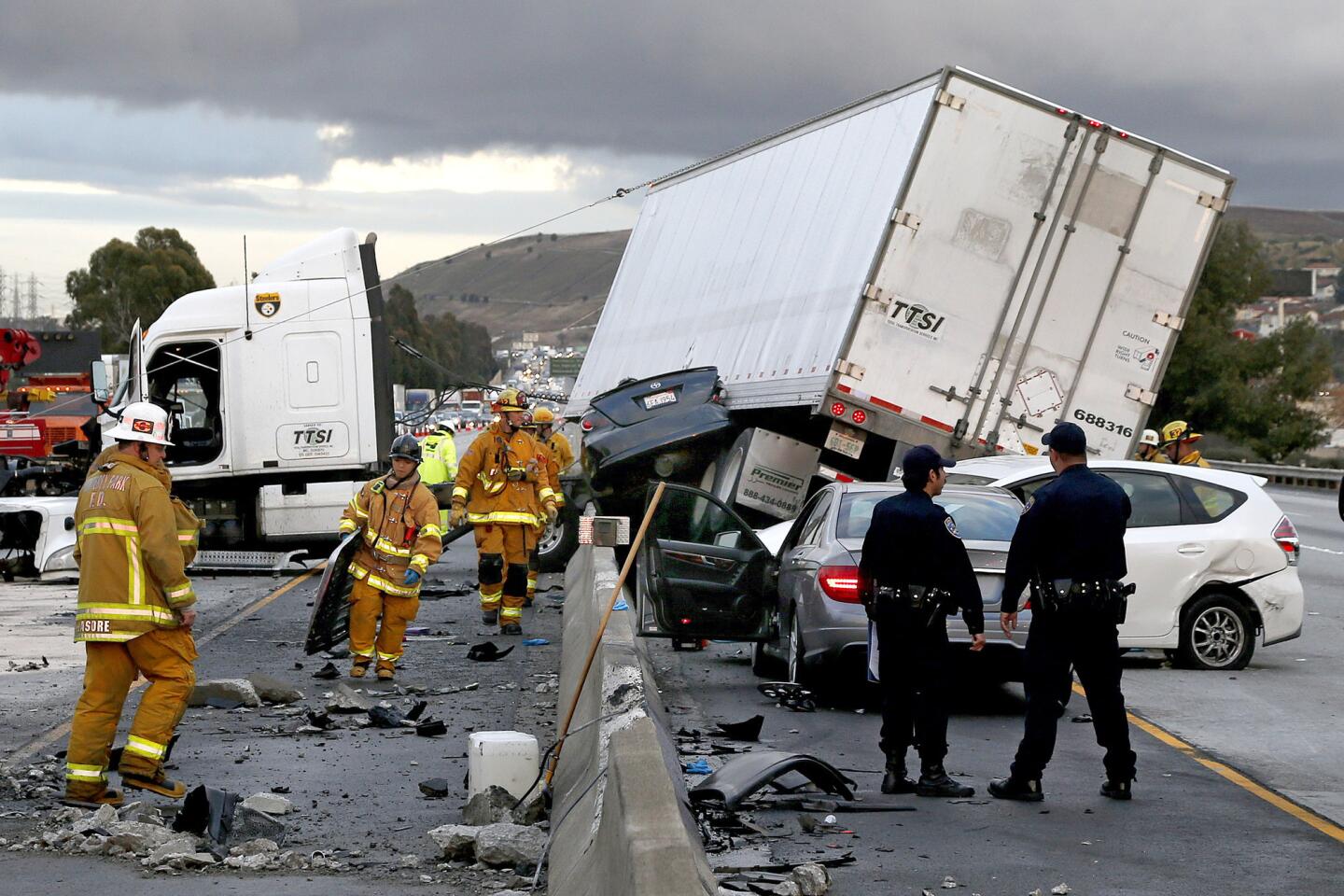
51/93
Firefighters and rescue personnel work at the scene after a big rig crashed through the center divider crushing a car underneath and causing four other vehicles to collide on the rain slicked 60 freeway near the Garfield Exit in Monterey Park, Calif.
(Gina Ferazzi / Los Angeles Times)
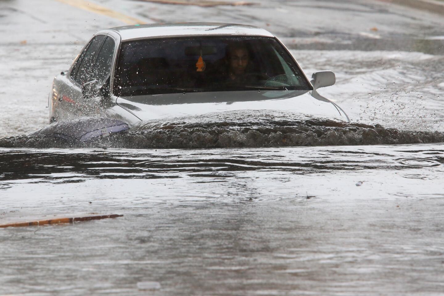
52/93
A driver braves a flooded section of Avenue 26 in Lincoln Heights in Los Angeles, Calif.
(Genaro Molina / Los Angeles Times)
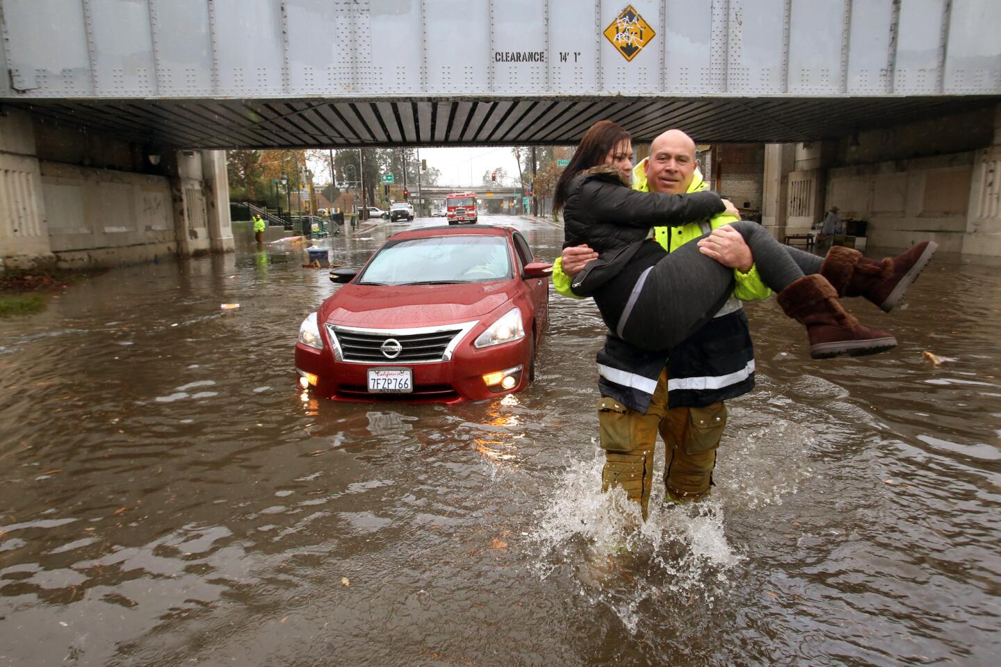
53/93
Yasmin Fernandez is carried away by Los Angeles Firefighter Jose Rodriguez after her car was caught in a flooded section of Avenue 26 in the Lincoln Heights in Los Angeles, Calif.
(Genaro Molina / Los Angeles Times)
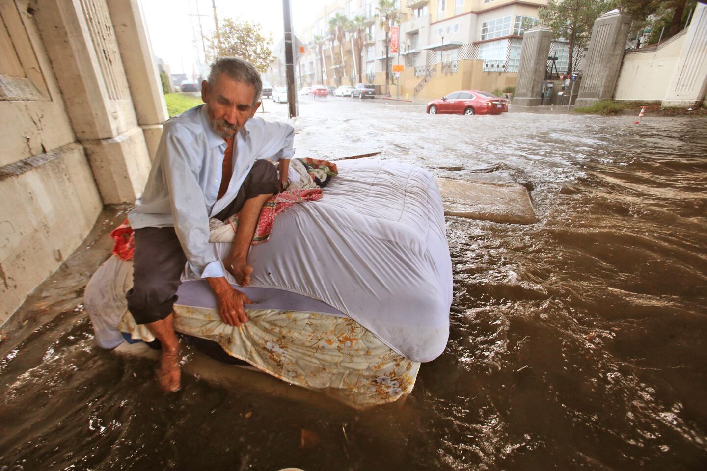
54/93
Felipe Flores Lopez, 59, tries to stay afloat on a bed at his homeless encampment as rainwater floods a section of Avenue 26.
(Genaro Molina / Los Angeles Times)
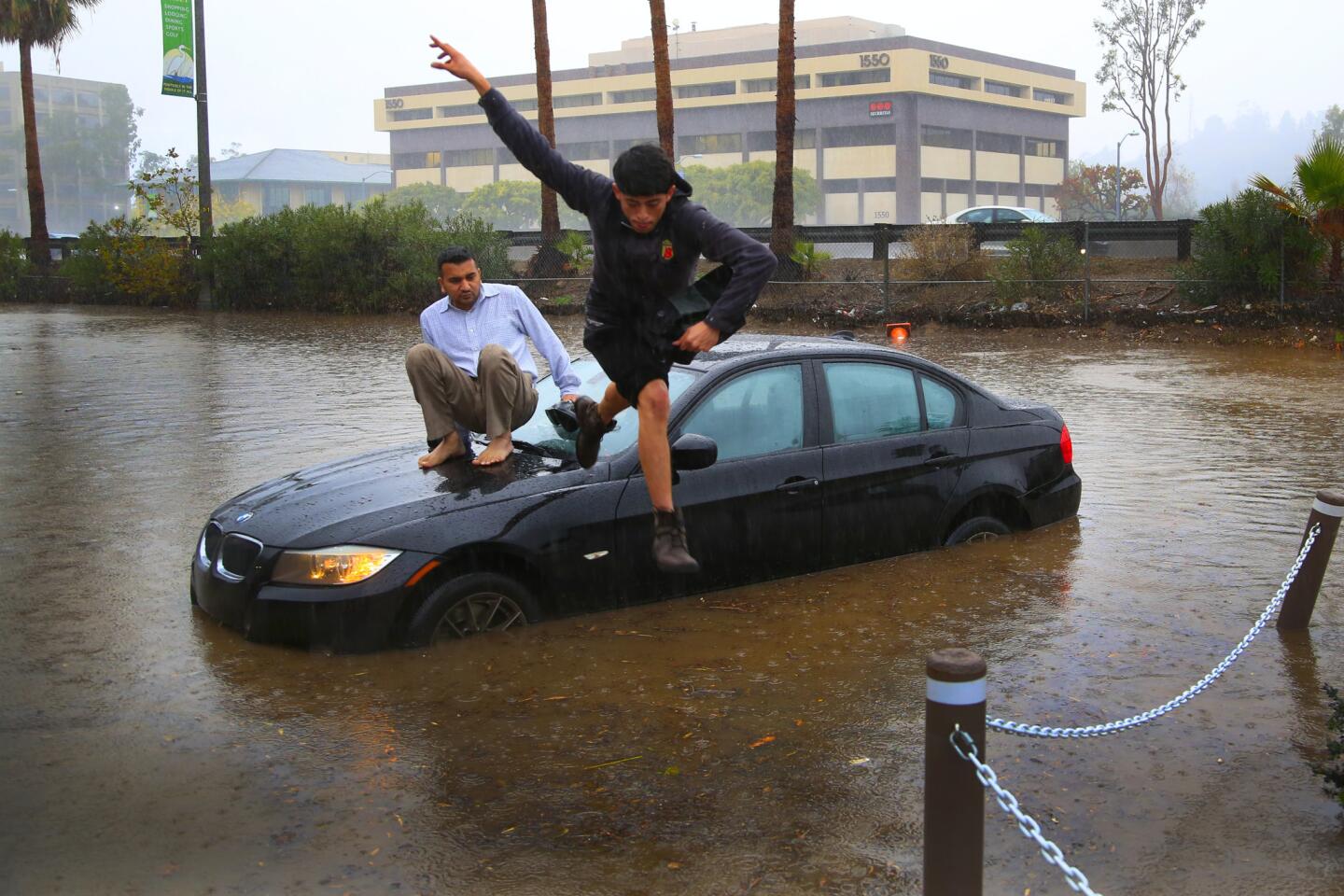
55/93
Octavio Angulo (jumping) and Mike Patel had to abandoned their vehicle on South Hotel Circle in Mission Valley Road when the flooded road stalled their vehicle in San Diego, CA
(Nelvin C. Cepeda / San Diego Union-Tribune)
56/93
Felipe Flores Lopez, 59, tries to secure his homeless encampment as water begins to flood on Avenue 26.
(Genaro Molina / Los Angeles Times)
57/93
Crews remove mud flows across a road during a flash flood watch in the Silverado Canyon burn area. (Allen J. Schaben / Los Angeles Times)
58/93
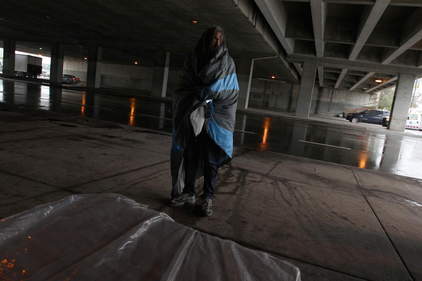
A homeless man seeks shelters beneath the 405 Freeway along Venice Boulevard as the first of several El Niño storms hit Southern California.
(Luis Sinco / Los Angeles Times)
59/93
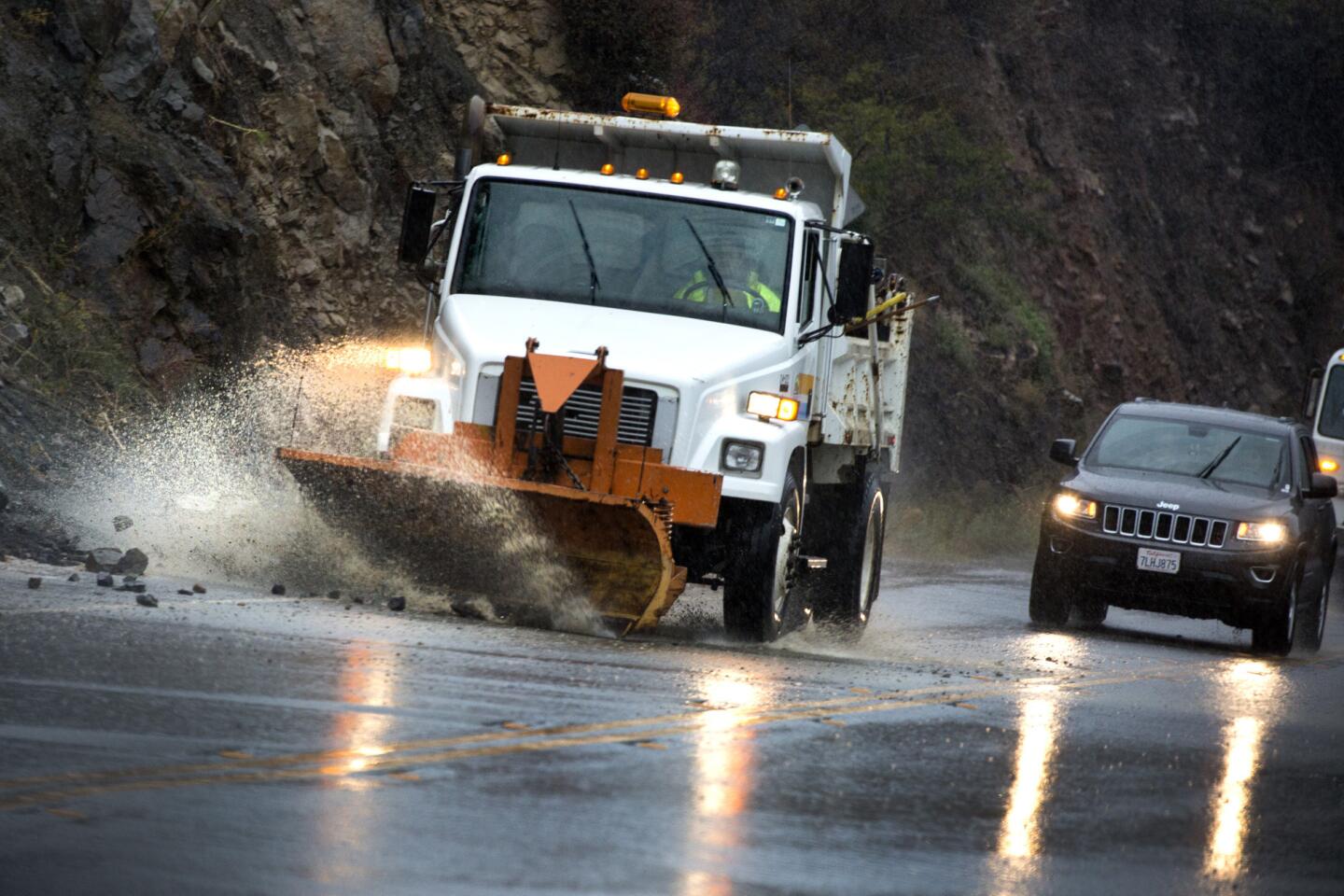
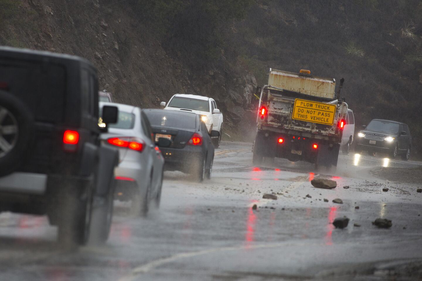
A Los Angeles County Public Works plow removes rocks from rain-soaked Malibu Canyon Road.
(Brian van der Brug / Los Angeles Times)
60/93
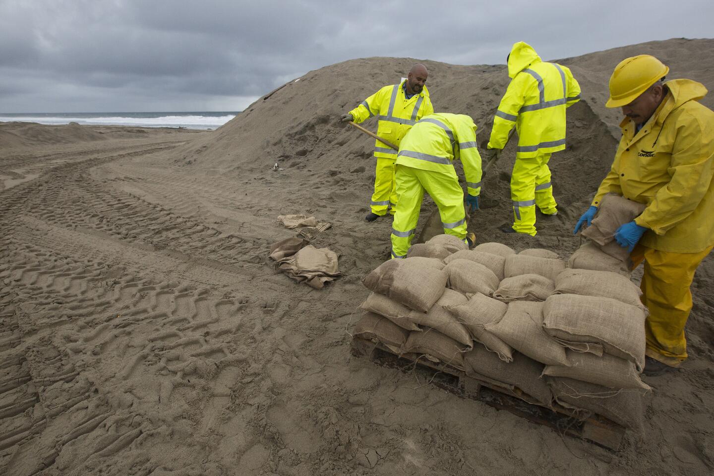
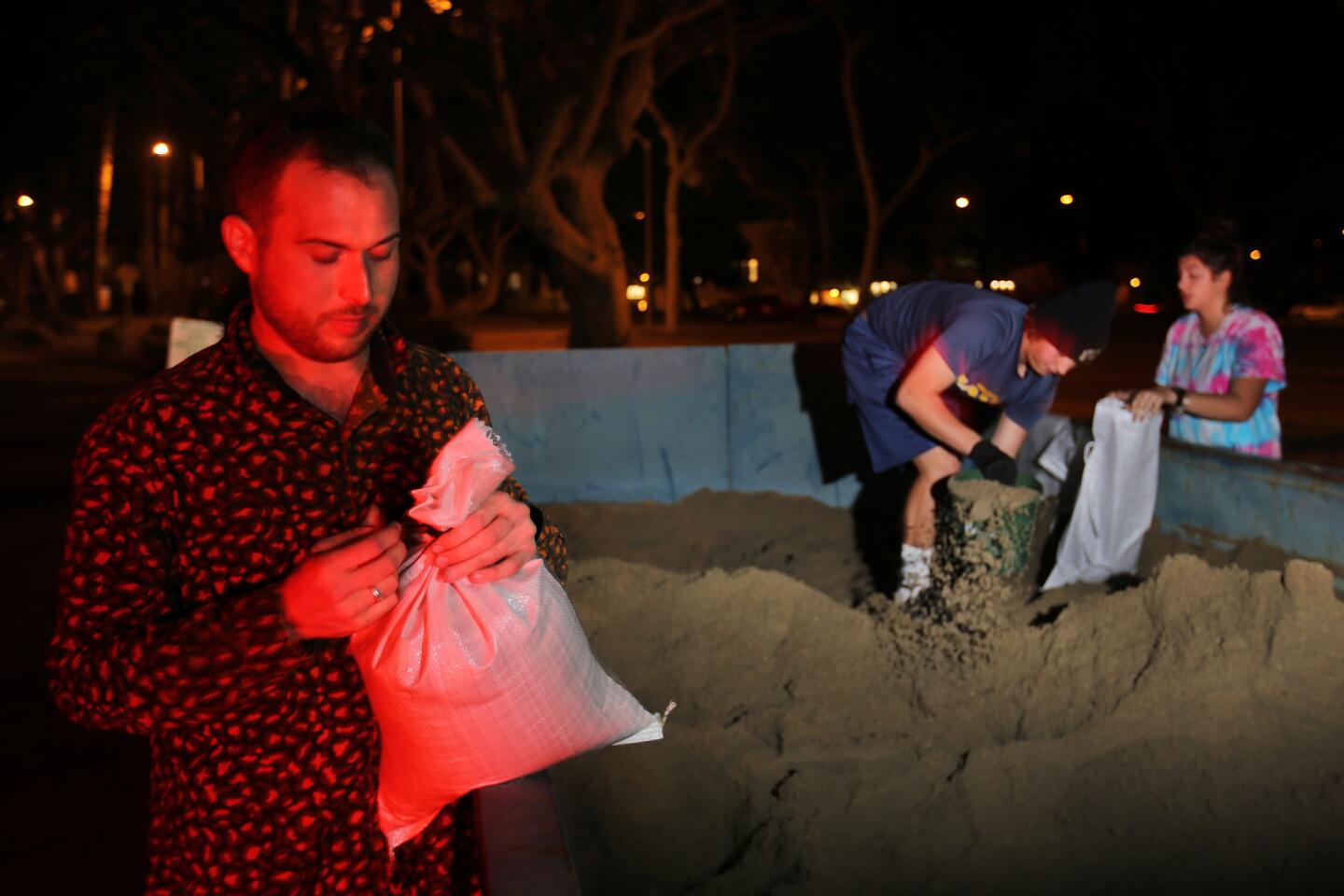
A crew with the Los Angeles County Department of Beaches and Harbors bags sand along Zuma Beach.
(Brian van der Brug / Los Angeles Times)
61/93
CHP Sgt. Joe Davy uses a shovel to try to clear a drain on the southbound lanes of the 101 Freeway of mud from the recent Solimar Fire runoff that flowed over the freeway, closing lanes.
(Al Seib / Los Angeles Times)
62/93
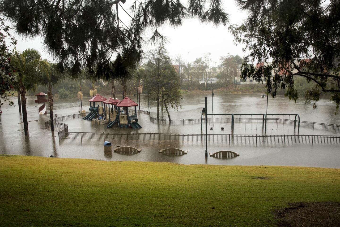
Polliwog Park in Manhattan Beach is deserted and flooded, as a storm descended over southern California.
(Jay L. Clendenin / Los Angeles Times)
63/93
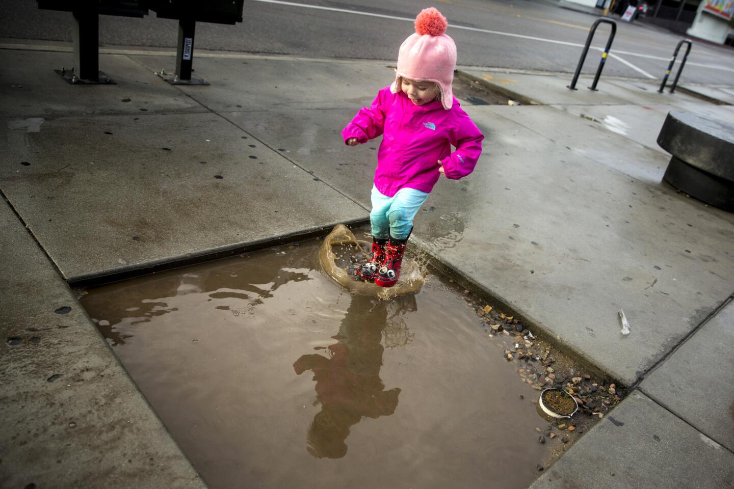
Valentina Flores,2, of City of Commerce, enjoys a puddle in the Little Tokyo area of downtown Los Angeles, Calif.
(Jay L. Clendenin / Los Angeles Times)
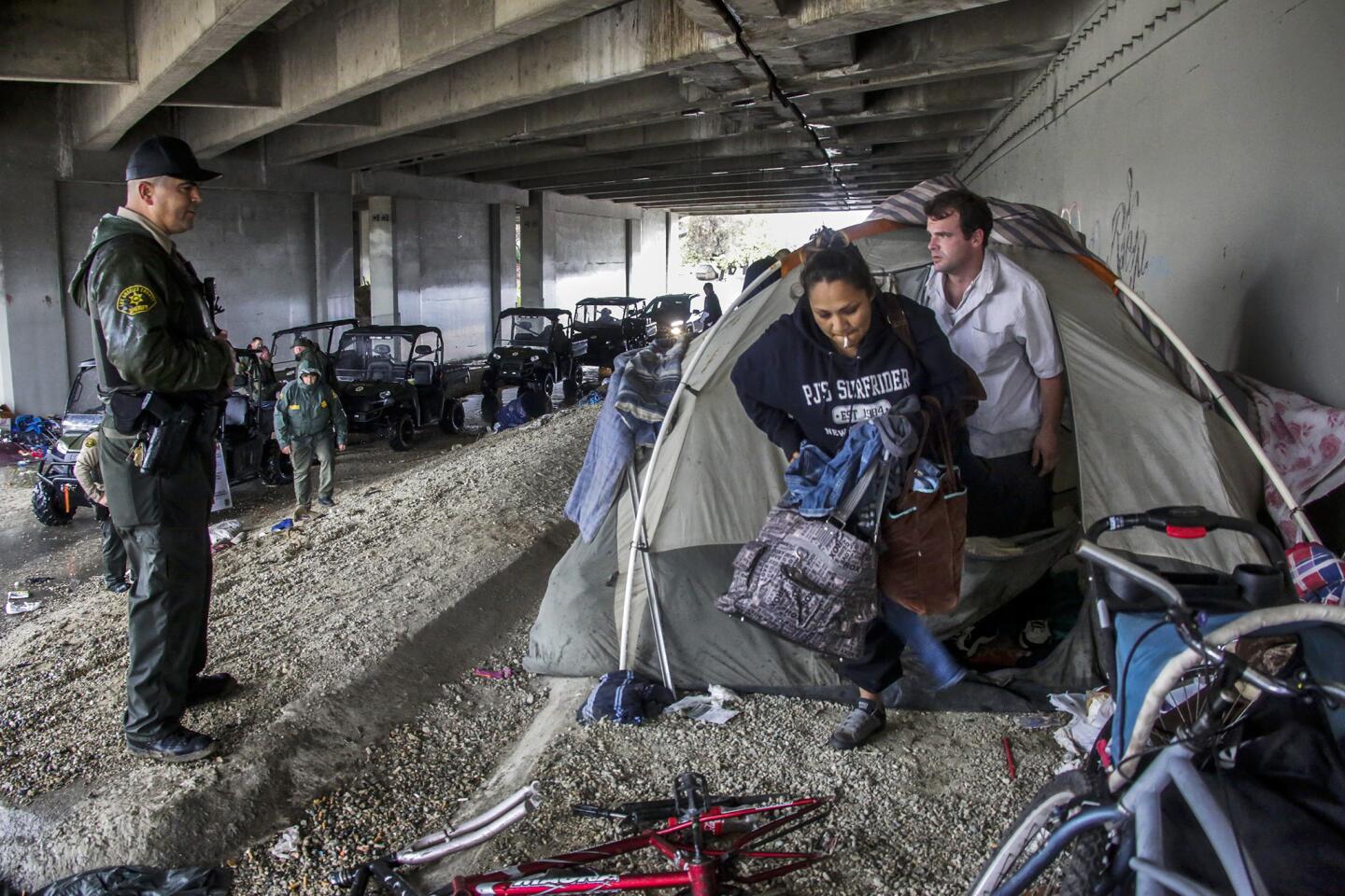
64/93
Los Angeles sheriff deputy Michael Galvan, left, warns a couple living under Freeway 5 about flooding danger along the San Gabriel River.
(Irfan Khan / Los Angeles Times)
65/93
Vehicles traveling in the southbound lanes of the 101 freeway crawl through one lane after mud from the recent Solimar Fire flowed over the freeway closing lanes.
(Al Seib / Los Angeles Times)
66/93
Los Angeles County Public Works road plow removes rocks off a rain-inundated Malibu Canyon Road in Malibu.
(Brian van der Brug / Los Angeles Times)
67/93
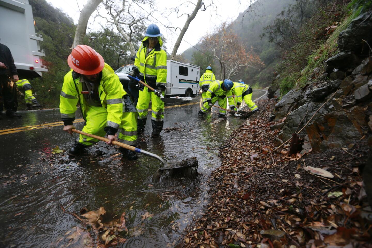
Members of the California Conservation Corps clear drains along Silverado Canyon Road in Orange County, Calif.
(Allen J. Schaben / Los Angeles Times)
68/93
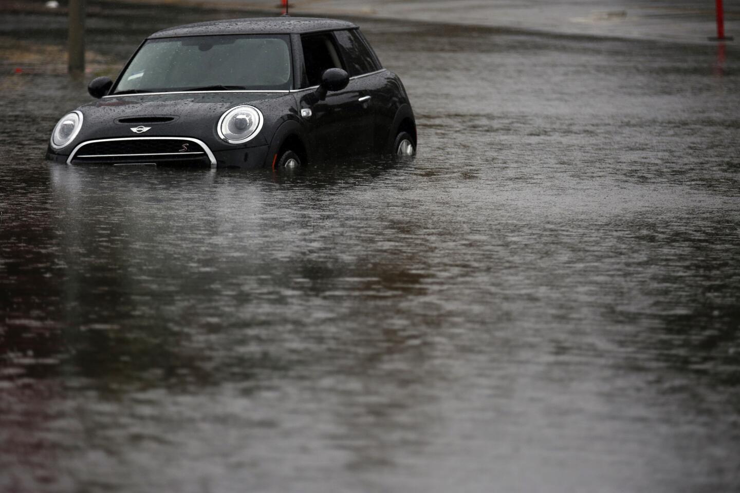
A black Mini Cooper is stranded in high standing water on Burbank Blvd near Balboa Golf Course in Encino.
(Francine Orr / Los Angeles Times)
69/93
Los Angeles county public works department workers clean an outlet drain at Easley Canyon debris basin in Glendora.
(Irfan Khan / Los Angeles Times)
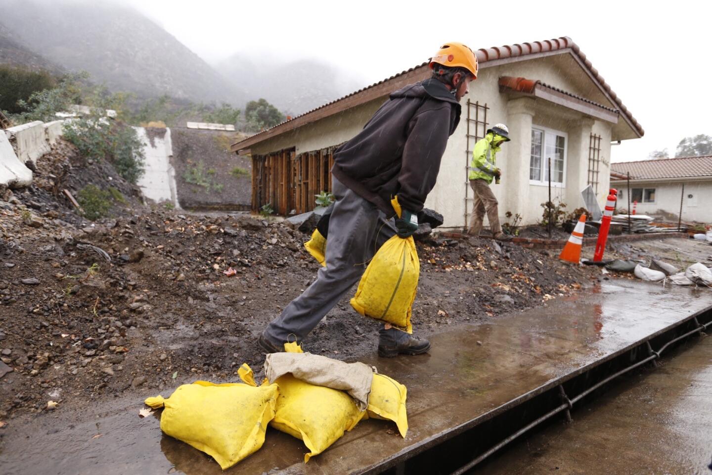
70/93
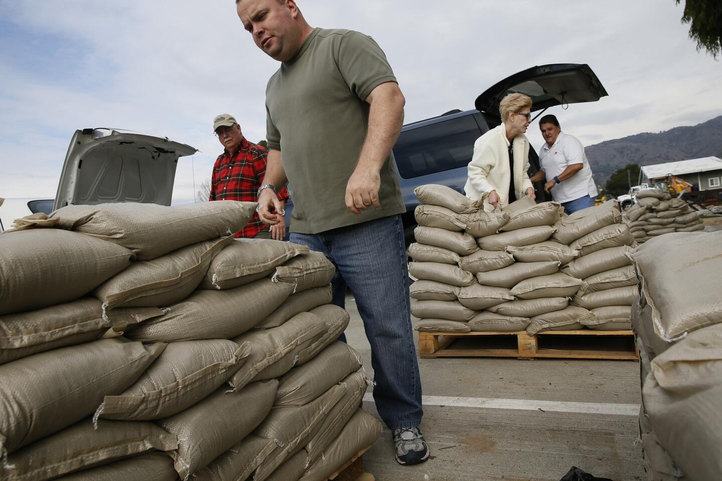
Jason Rivas works with sandbags in front of homes along San Como Lane in Camarillo Springs. Residents are under a voluntary evacuation order.
(Al Seib / Los Angeles Times)
71/93
Joe Milos works with sandbags at homes along San Como Lane in Camarillo Springs as light showers fall.
(Al Seib / Los Angeles Times)
72/93
Rain water runs off the roof of red tagged homes along San Como Lane in Camarillo Springs Tuesday morning.
(Al Seib / Los Angeles Times)
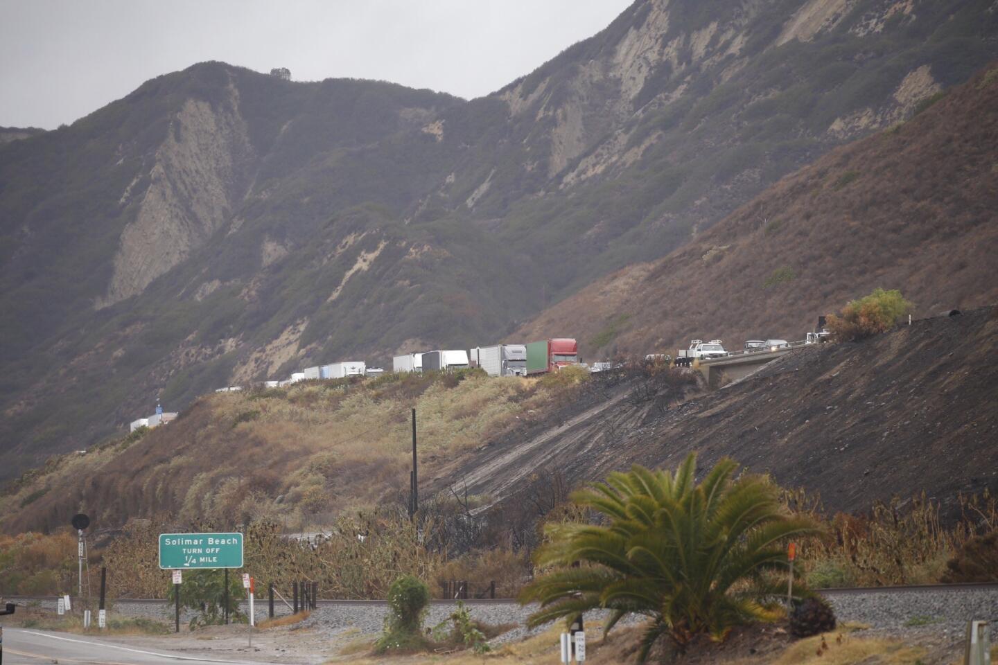
73/93
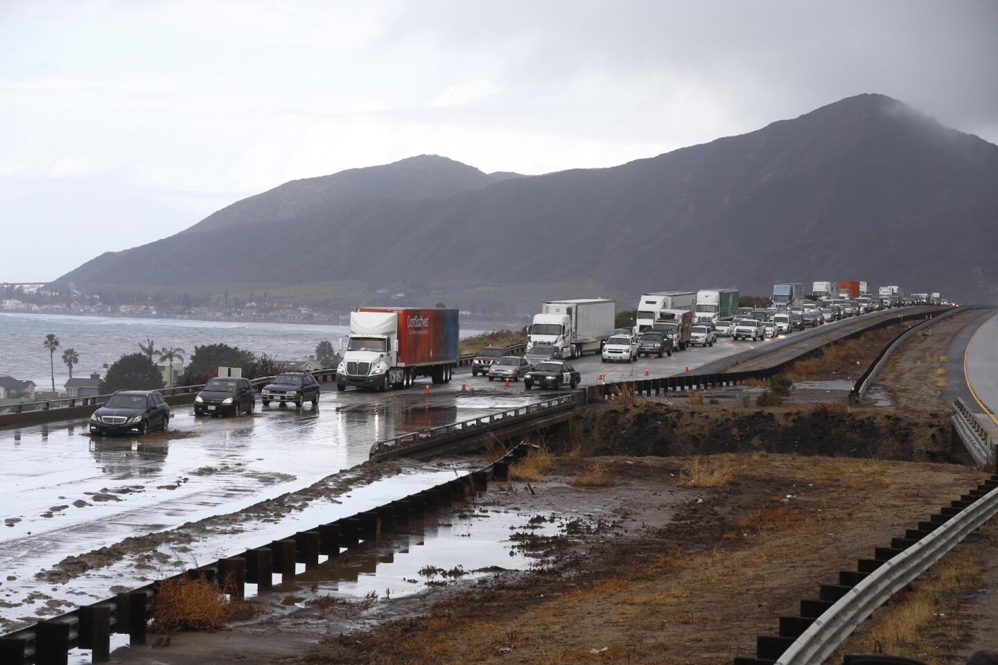
Vehicles are slowed for miles on both North and South bound lanes of the 101 Freeway at Solimar Beach in western Ventura County as mud from the recent Solimar fire covers all lanes Tuesday morning.
(Al Seib / Los Angeles Times)
74/93
Looking North, as vehicles are slowed for miles on both directions of the 101 Freeway at Solimar Beach in western Ventura County as mud from the recent Solimar fire covers all lanes.
(Al Seib / Los Angeles Times)
75/93
People in Long Beach deal with rainy weather during the first strong storm in what is predicted to be a strong El Nino event in Southern California.
(Rick Loomis / Los Angeles Times)
76/93
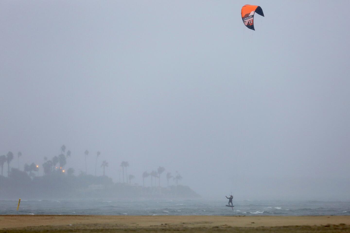
A kite surfer in Long Beach makes use of the wind during the rainy weather brought by the first big storm of the new year.
(Rick Loomis / Los Angeles Times)
77/93
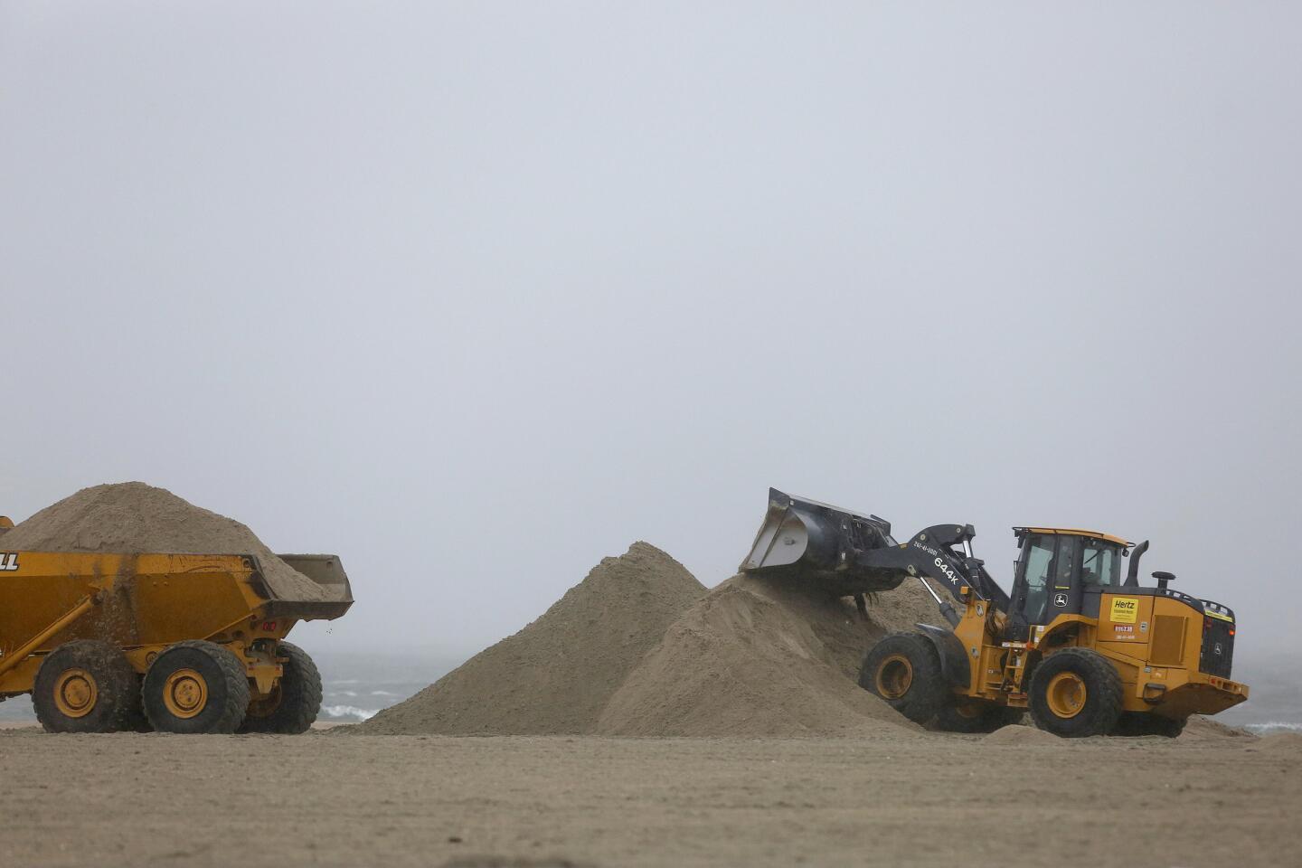
A front-end loader and dump truck work to move beach sand to protect vulnerable areas from flooding in Long Beach.
(Rick Loomis / Los Angeles Times)
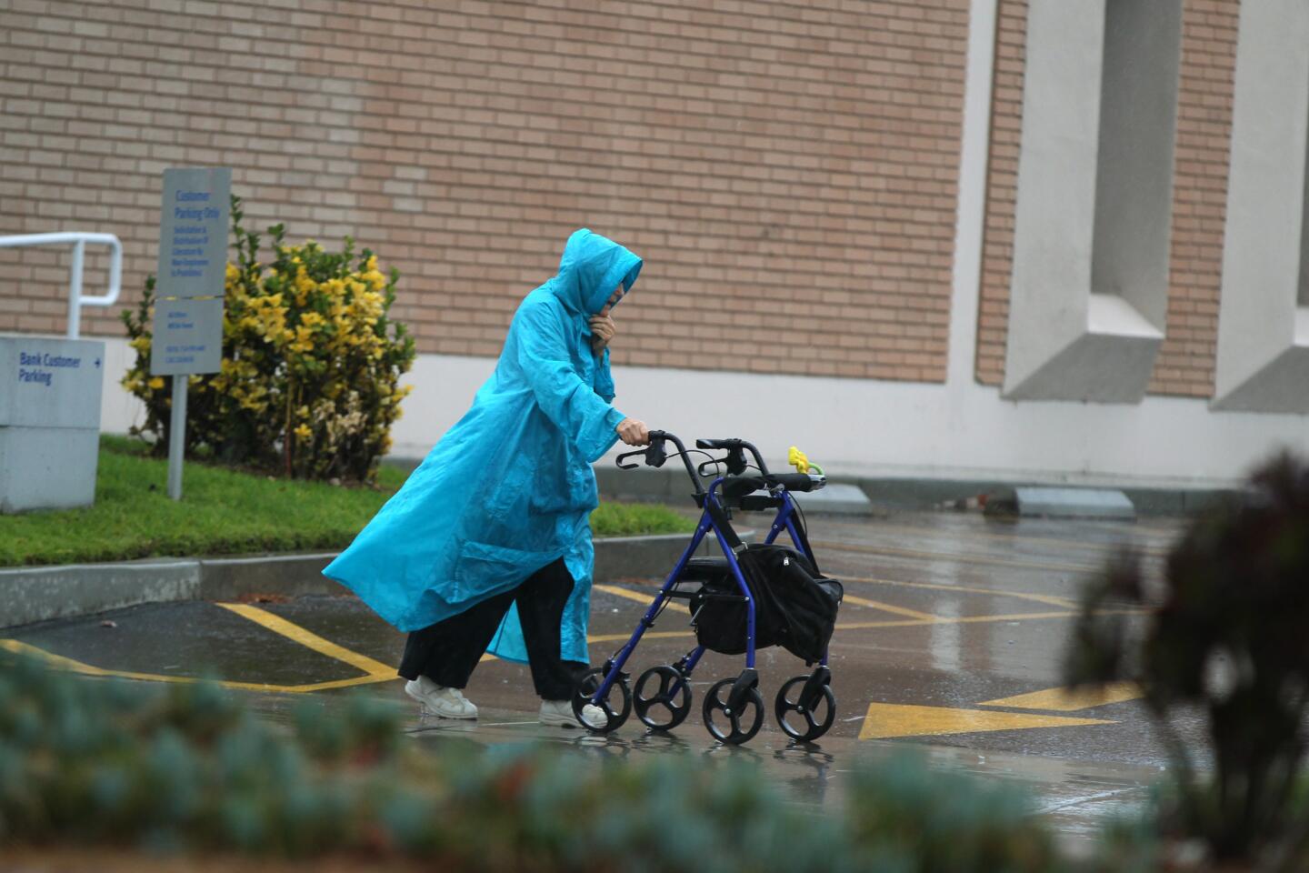
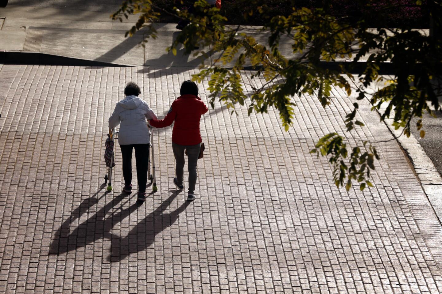
78/93
An elderly woman navigates a wet parking lot in Fountain Valley as storms were expected to barrel into Southern California in earnest Tuesday morning.
(Allen J. Schaben / Los Angeles Times)
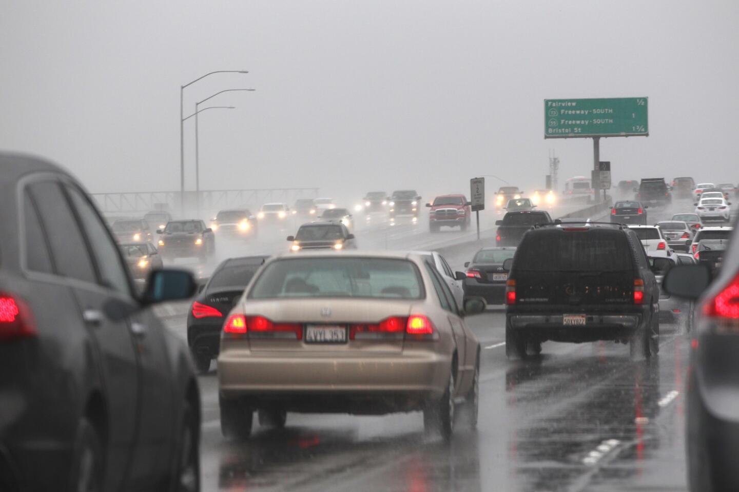
79/93
Commuters navigate the southbound 405 Freeway in Costa Mesa. Rain is expected to continue through the end of the week.
(Allen J. Schaben / Los Angeles Times)
80/93
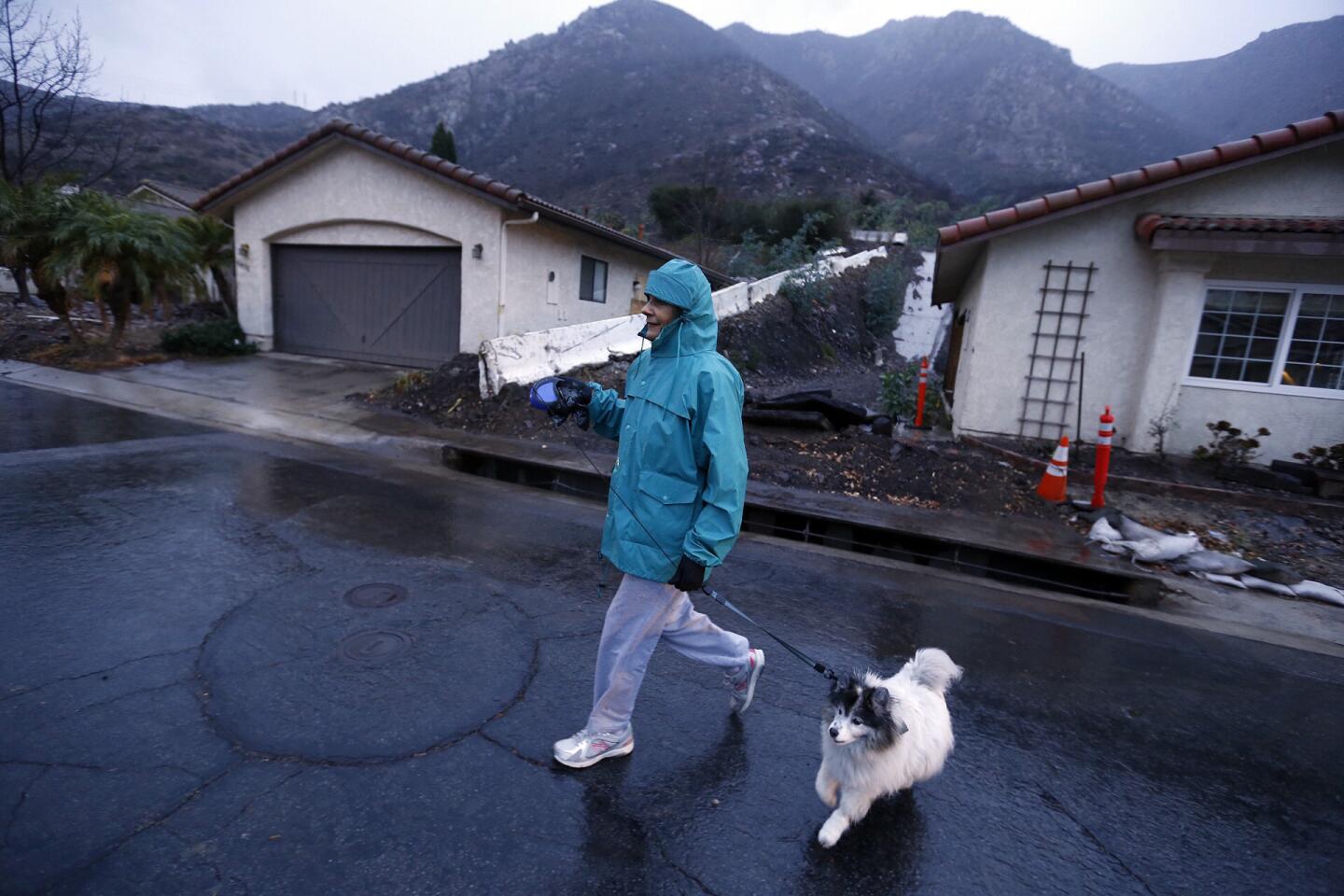
Carol Roberts, who said she has lived in Camarillo Springs for over 20 years, walks her dog Kayla past red-tagged homes along San Como Lane where residents were under a voluntary evacuation order due to approaching storms and unstable soil conditions.
(Al Seib / Los Angeles Times)
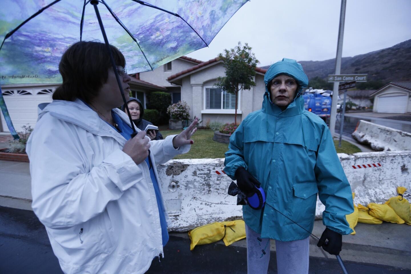
81/93
Homeowners association president Barbara Williams, left, counsels Carol Roberts to be ready to leave the neighborhood if mandatory evacuations are ordered.
(Al Seib / Los Angeles Times)
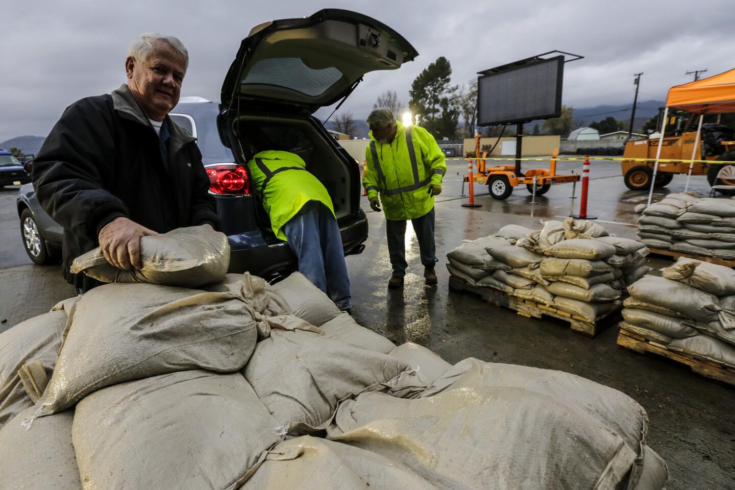
82/93
Glendale resident Linn Neidengard picks up sandbags provided by the city to protect his home from looming rains.
(Irfan Khan / Los Angeles Times)
83/93
Noah Cowan of Long Beach, fills sandbags along with others as they prepare for the arrival of the first major storm of what is expected to be a strong El Niño weather event in Southern California.
(Rick Loomis / Los Angeles Times)
84/93
John Ward, 66, left, and his son Jacob, 37, center, load sandbags along with fellow Glendora residents ahead of heavy rains forecast this week.
(Robert Gauthier / Los Angeles Times)
85/93
The Solimar Beach fire burn area in Ventura County is being monitored for possible mud and debris flows with the coming rain.
(Brian van der Brug / Los Angeles Times)
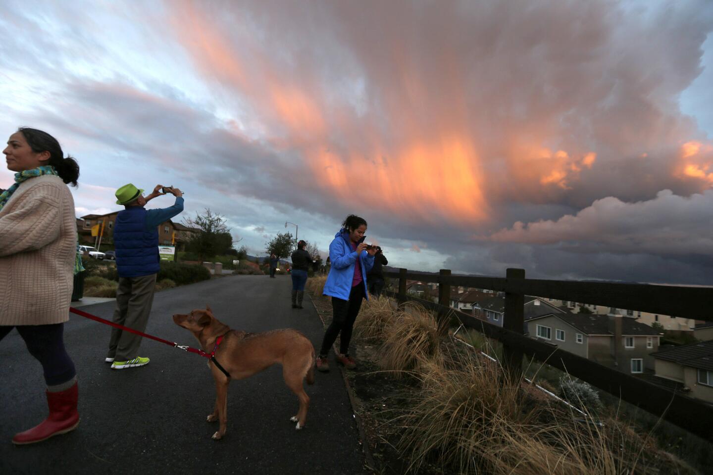
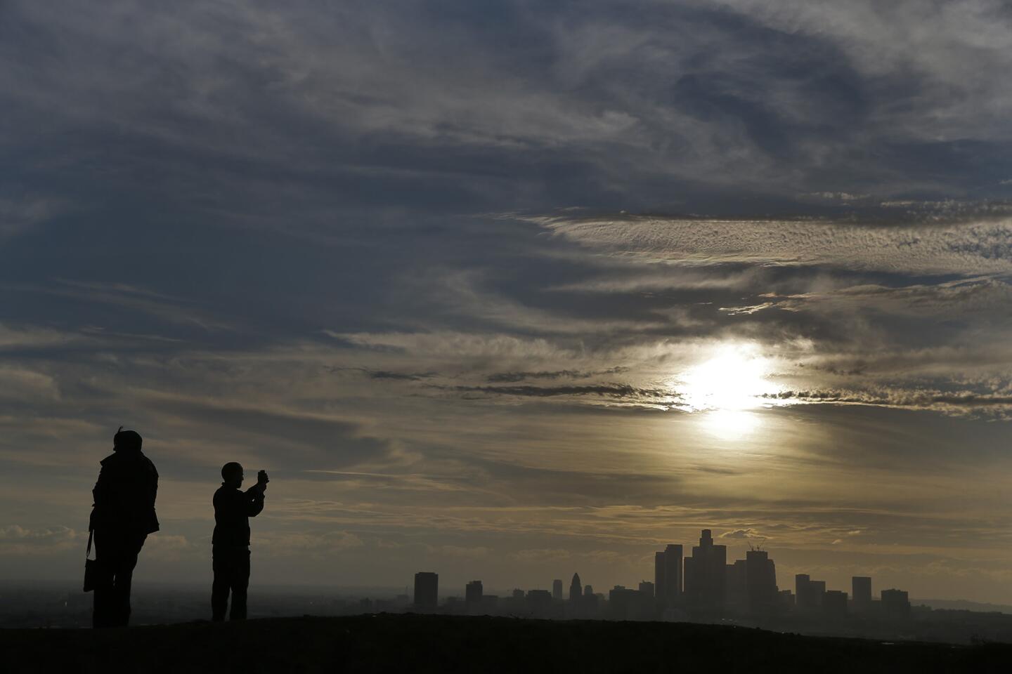
86/93
Two people take in a view of downtown Los Angeles from Montecito Heights as a storm front creeps into the Southland on Jan 3.
(Robert Gauthier / Los Angeles Times)
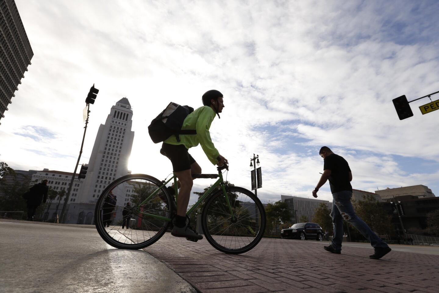
87/93
People walk and bike under blue-gray skies in downtown Los Angeles on Jan. 4 as a series of storms were forecast for Southern California.
(Al Seib / Los Angeles Times)
88/93
With rain in the forecast, Geme Gemayoa is bundled up in downtown L.A. on Jan. 4.
(Al Seib / Los Angeles Times)
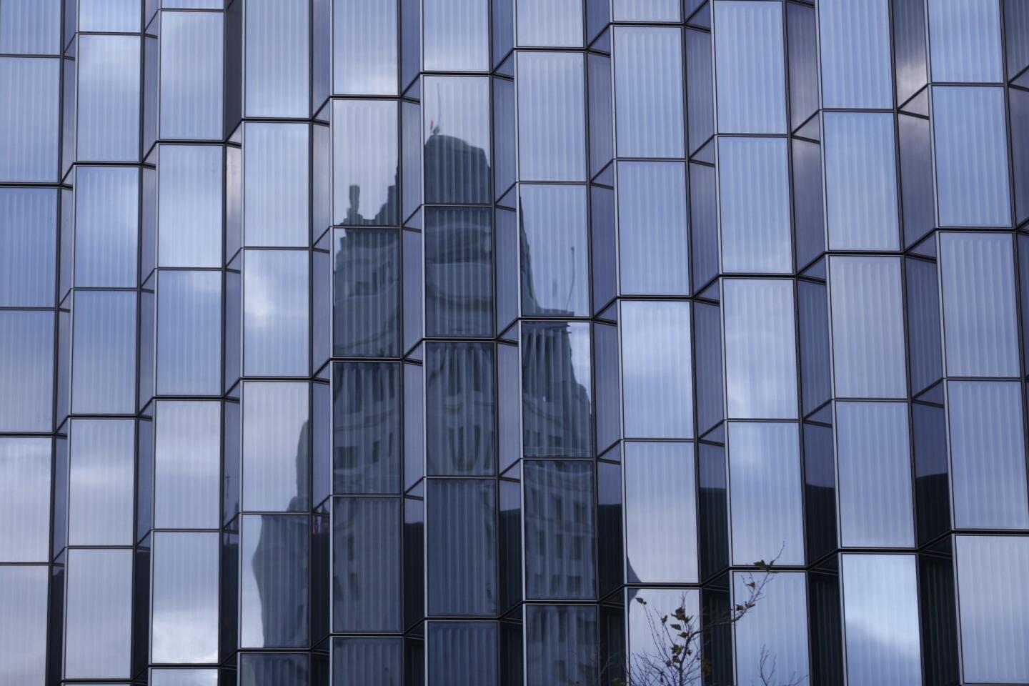
89/93
Los Angeles City Hall is surrounded by cloudy skies in a reflection in the windows of the new U.S. Courthouse under construction on Jan. 4.
(Al Seib / Los Angeles Times)
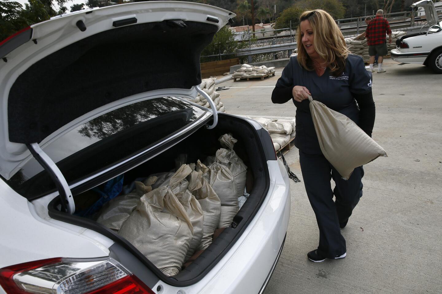
90/93
Karin Mitchell loads sandbags into the trunk of her car in Glendora, where residents were preparing for possible heavy rains.
(Robert Gauthier / Los Angeles Times)
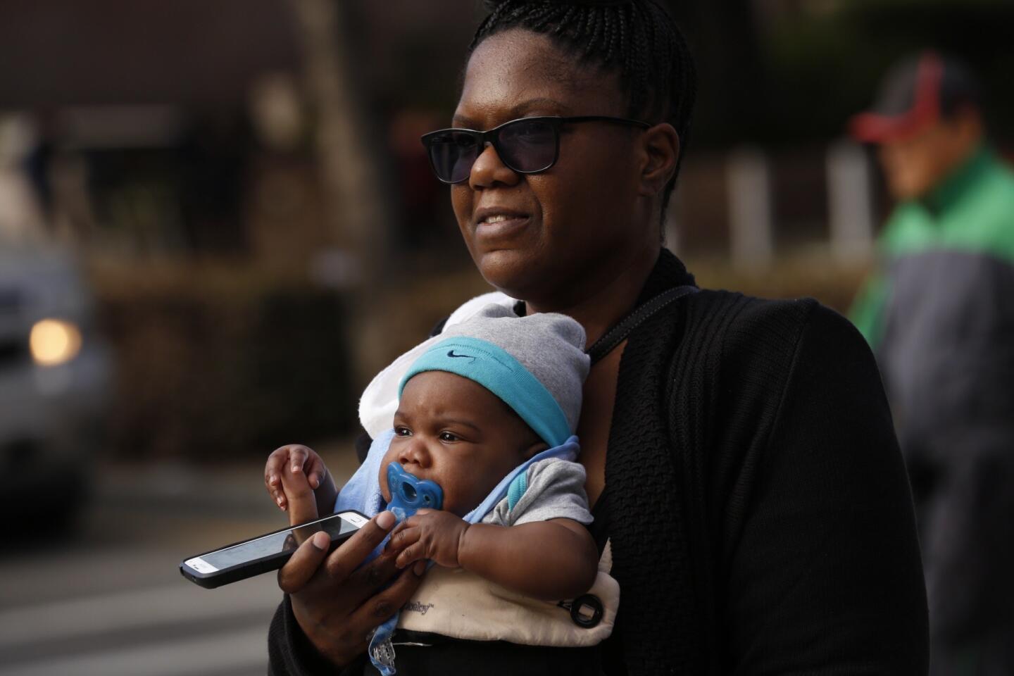
91/93
Four-month-old Kwasi Youngblood is carried by his mother, Darchelle Youngblood, in downtown Los Angeles on Jan. 4. Youngblood said she is ready for the cold and wet weather predicted for Southern California.
(Al Seib / Los Angeles Times)
92/93
Two women enjoy some sunshine in downtown Los Angeles on Jan. 4, before wet weather is set to arrive later in the week.
(Al Seib / Los Angeles Times)
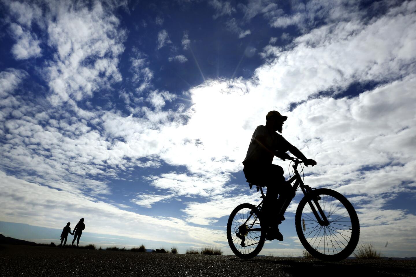
93/93
Antonio Dominguez, 44, of Pacoima, goes for a bike ride under partly cloudy skies above Hansen Dam in Lake View Terrace on Jan. 4.
(Mel Melcon / Los Angeles Timesl)
When the Spanish government decided in 1777 to construct its first agricultural settlements in California to feed the missions and presidios, they picked a site on high ground west of the river they called El Río de Nuestra Señora La Reina de Los Ángeles de Porciúncula.
The namesake settlement of Los Angeles became the second city in California after San Jose, with a water ditch — the zanja madre — diverting flow to the city.
The river, its tributaries and artesian wells made Los Angeles County one of the biggest cattle and food producing centers in the nation. Fishermen caught steelhead trout in the pools, and waterwheels ran flour mills in the currents.
But as Yankee newcomers poured in during the 19th century and settled on lower-lying areas, they suffered catastrophic floods.
Advertisement
After epochal rains in 1862 turned much of the basin into a lake, residents began clamoring to raise the banks of the river and build upstream dams.
What made the river so tempestuous was topography. Pacific storms stall against the San Gabriels, some of the steepest mountains in the world, with sparse vegetation to slow down the rainwater as it plummets down granite canyons.
Water from 834 square miles of rugged terrain, some higher than 7,000 feet, drains into the L.A. River. Excluding the mountain washes that feed it, the main river drops 800 feet from its source in Canoga Park to its mouth in Long Beach, 51 miles away. The Mississippi drops that much over 2,300 miles.
In March 1938, storms hammered the region. Los Angeles got over 6 inches of rain in one day, and 32 inches soaked the San Gabriels over five days. Bridges, roads and rail lines washed out, houses collapsed.
Eighty-seven people died in flooding throughout the county and 108,000 acres were deluged.
Major projects to control the river began immediately with federal funding. Led by the U.S. Army Corps of Engineers, workers dug deeper and wider channels, carved out flood control basins, and built reservoirs.
Advertisement
By 1959, the river had become the “water freeway” that it is today.
“What do you guys say, 25 miles an hour?” Ernesto Ortiz, 26, asked as others gathered at the railroad bridge in South Gate.
No one there could outrun it. Ortiz tried and didn’t come close.
The truck traffic on the 710 freeway crossing just downstream moved about the same speed, but looked less ferocious by comparison. You’d have a better chance crossing that rainy freeway alive than trying to swim across the torrent where people normally walk their dogs and ride BMX bikes.
“Oh, you see that log just crash against the pillar,” Ortiz exclaimed.
Upstream in Lincoln Heights, Gergorio Lopez, 63, got off work and told his friend Olegario Plazola, “Let’s go see the river.”
Originally from the rainy Mexican state of Guerrero, Lopez finds peace in the moving water. From the Buena Vista Street bridge, he looked south to the Spring Street bridge, where the pier cut through the water like the bow of a battleship.
Lopez chewed on a toothpick and gazed down, mesmerized.
As powerful as it looked, the river was nowhere near its max.
Only one spot along its course had exceeded a third of its capacity as of Wednesday afternoon, according to the county Department of Public Works. At 3 p.m. in South Gate, the flow was 18,434 cubic feet per second.
But the river could get meaner as more storms soak the region.
Due to the long drought, much of the mountain runoff is still being captured in reservoirs and storm basins.
Advertisement
A man walks along an old Union Pacific Bridge as the Los Angeles River flows in South Gate.
(Genaro Molina / Los Angeles Times)
Big Tujunga reservoir was 32% full Wednesday, said Eric Batman, a senior civil engineer at county public works. Below it, the Tujunga Wash, one of the river’s major sources of water, was dry. Likewise, the Devil’s Gate dam was storing water instead of releasing it into the Arroyo Seco.
“This could definitely change,” Batman said. “If we had weeks more of this stuff, we could see more of our dams making releases.”
Still, El Niño has come before, and the giant hasn’t got out of its cage yet.